Lee Seung-ku
Covering Korean lawand education
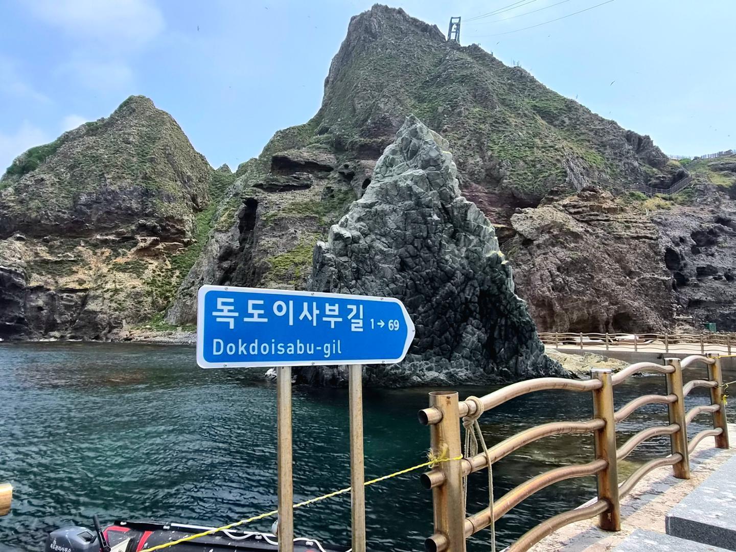
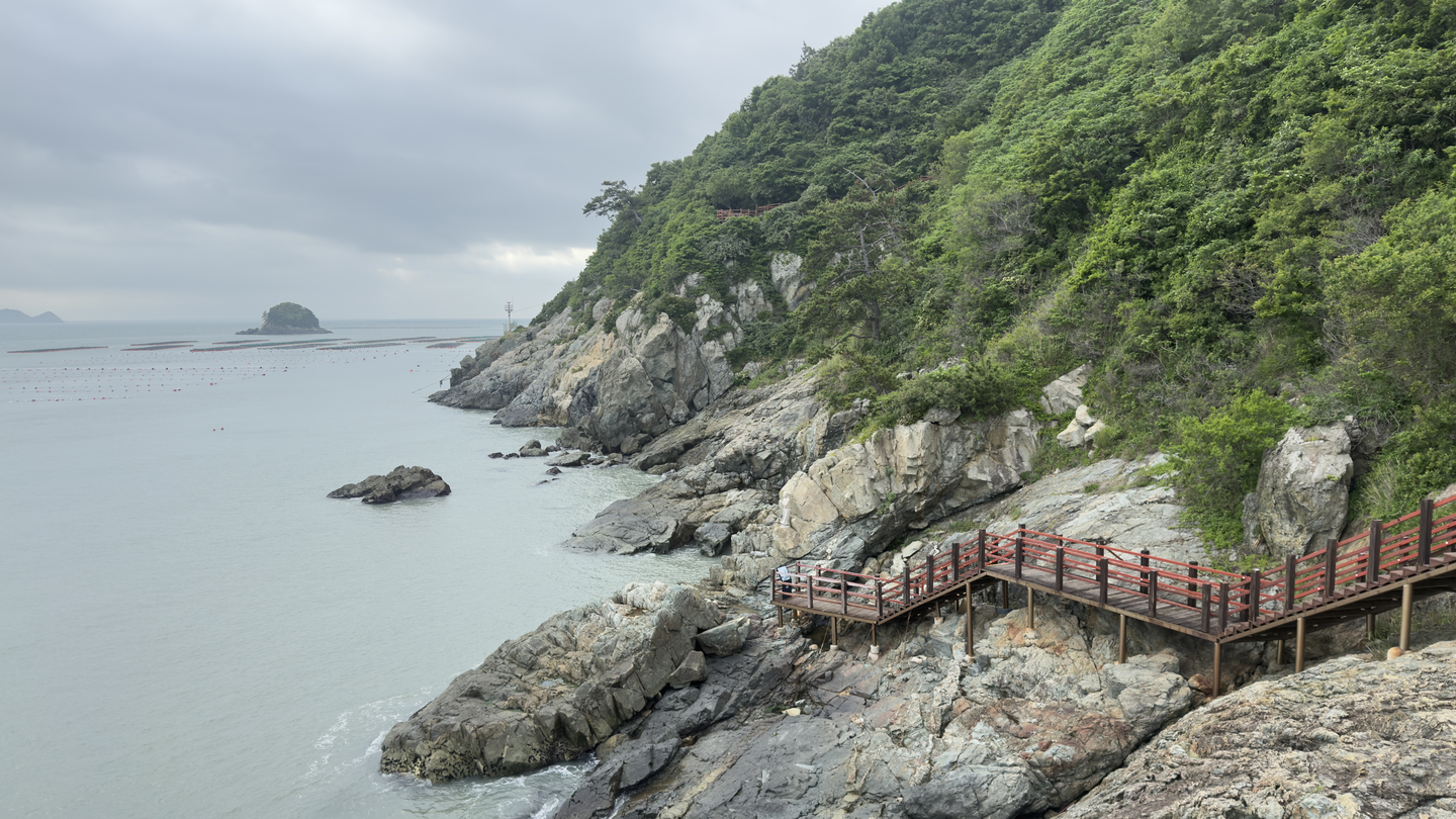
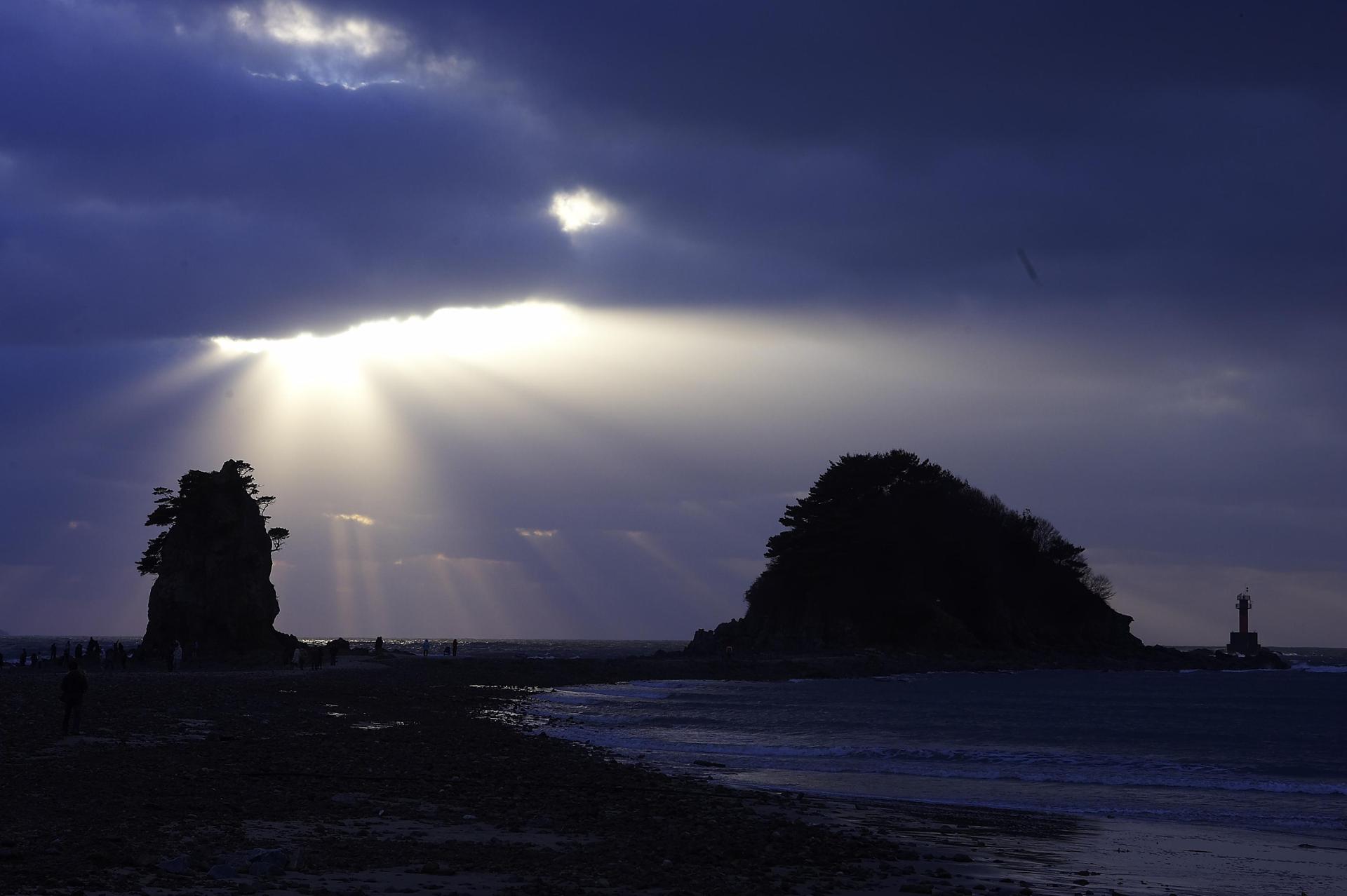
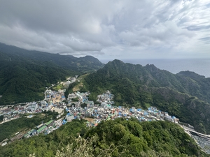
Reachable only by sea for now, Ulleungdo remains one of Korea’s rare destinations that still feels untamed An aerial view of Dodong, Ulleung-gun, North Gyeongsang Province (Lee Seung-ku/The Korea Herald) ULLEUNG, North Gyeongsang Province — After a six-hour overnight boat ride from Pohang across some of South Korea’s roughest waters, the first glimpse of Ulleungdo comes quietly into view: the sun rising over a misty sea, lighting up sheer cliffs, deep-blue waters and vegetation that feels almost alien.“We don’t run boats in the winter because of high waves and difficult sea conditions,” said an executive at Ulleung Cruise, which operates the only multistory ship on the Pohang-Ulleung route. “It’s a shame because the winter scenery here is also marvelous — even more so, I dare say, than Sapporo in Japan.”Home to roughly 9,000 residents, Ulleungdo is South Korea’s ninth-largest island and its second-largest volcanic island after Jeju.Unlike Jeju, however, Ulleungdo remains relatively untouched by mass tourism. Ferries from Pohang or Donghae, Gangwon Province, remain the only way to reach the island, though an airport is under construction and expected to open in 2028.For travelers willing to venture beyond Korea’s better-known destinations, Ulleungdo offers some of the country’s most dramatic coastal scenery, distinctive cuisine and layered history.Many visitors also use the island as a base for a trip to Dokdo, South Korea’s easternmost territory.Dokdo: Lonely islets, home to black-tailed gulls Dokdo's Seodo pictured from a pier on Dongdo (Lee Seung-ku/The Korea Herald) “There is a Korean saying that three generations must have accumulated good deeds for someone to set foot on Dokdo,” said one local guide, referring to the difficulty of reaching the remote islets.Formed by volcanic activity millions of years ago, Dokdo consists mainly of two rocky islets, Dongdo and Seodo, surrounded by the deep waters of the East Sea.Tourist ferries usually operate from March to November, departing from Ulleungdo’s main ports several times a day. The trip takes about four hours round trip, including roughly 30 minutes on Dokdo — if weather conditions allow visitors to disembark. Travelers should note that rough waves and sudden changes in weather often delay or cancel ferries from Ulleungdo to Dokdo.Dokdo has no permanent civilian residents. Only Coast Guard officers are stationed there, and visitors are generally only allowed to step onto the pier briefly to take photos.Upon arrival, officers greet visitors with a salute. The Coast Guard’s Sapsal dog, a shaggy-haired Korean breed, has also become a friendly mascot for travelers.Despite South Korea’s effective control of Dokdo, Japan continues to assert sovereignty claims over the islets, seeking to frame them as disputed territory. A Taeguk sculpture (left) and a road sign on Dokdo (Lee Seung-ku/The Korea Herald) For many visitors, the appeal of Dokdo goes beyond politics and history to include nature. Between April and June, the islets are covered with black-tailed gulls, which use Dokdo as a breeding ground. The contrast between the birds, emerald waters and jagged volcanic cliffs makes the brief stay on the islets feel almost cinematic.Popular photo spots include a road sign bearing Dokdo’s only street address, Dokdoisabu-gil, named after Isabu, the sixth-century Silla general associated with Korea’s historical claims over Ulleungdo and Dokdo.Visitors can also spot a sculpture of the Taegeuk, the yin-yang symbol at the center of the Korean flag. Dokdo Museum in Ulleung-gun, North Gyeongsang Province (Lee Seung-ku/The Korea Herald) Back on Ulleungdo, travelers can continue exploring Dokdo’s history at the Dokdo Museum, which was built with support from the Samsung Foundation of Culture and offers an overview of historical records, maps and documents related to the islets.From the museum, a cable car takes visitors up to the Dokdo Observatory, where Dokdo can be seen on clear days.Another stop is the Dokdo Volunteer Forces Memorial, which commemorates the civilian volunteers who helped defend the islets in the 1950s. A cable car connects Dokdo Museum to the Dokdo Observatory. (Lee Seung-ku/The Korea Herald) Ulleungdo’s historic value and unrefined gemsUlleungdo’s history stretches far beyond its modern role as the gateway to Dokdo.The island was once home to Usan, a statelet that occupied Ulleungdo and nearby islands during the Three Kingdoms period. Usan was subjugated by Silla in the sixth century but maintained a degree of autonomy for centuries before eventually submitting to Goryeo in 930.Traces of this history can be found at the Usanguk Museum, which introduces the island’s ancient history, traditional crafts and maritime culture. An ancient stone tomb in Ulleung-gun, North Gyeongsang Province (Lee Seung-ku/The Korea Herald) Across the island, visitors can find stone tombs believed to date back to ancient times, though the identities of those buried there remain unclear. The tombs resemble burial structures found on the Korean Peninsula, and some remain open, allowing visitors to step inside for a closer look.On the island's northern basin, visitors can also see traditional Ulleung-style houses, or Neowajip, from the 1800s. The rooms are well preserved, and visitors can look inside for free. A traditional Ulleung-style house, or Neowajip from the 1800s is preserved in Nari Basin, Ulleung-gun, North Gyeongsang Province. (Lee Seung-ku/The Korea Herald) The island also preserves traces of Joseon-era search and inspection missions. Stone engravings record expeditions sent by Joseon officials, reflecting the state’s efforts to monitor and administer the remote island.Later layers of history are visible in remnants from the Japanese colonial period, including old military watchtower sites and underwater cable landing points used during the Russo-Japanese War. In downtown Dodong, several old Japanese-style houses remain preserved. One is known as the place where former President Park Chung-hee stayed during a visit to the island in the 1960s.Seaside cliffs and natural wonders Ulleungdo's cliffs and shoreline (Lee Seung-ku/The Korea Herald) For nature lovers, Ulleungdo’s greatest attraction is its landscape.The island has few sandy beaches. Instead, much of its shoreline is lined with steep cliffs, rocky shores and pebble beaches. The waters are clear and strikingly blue, making the island a popular destination for scuba diving and snorkeling.Tour guides caution, however, that the waters around Ulleungdo can be dangerous. High waves and sudden drops in depth mean that swimming, fishing and foraging are allowed only in designated areas.One of the island’s most distinctive inland destinations is Nari Basin, the only wide, flat area on Ulleungdo. Located near Seonginbong, the island’s highest peak, the basin was formed when a volcanic crater collapsed after an eruption roughly 15,000 to 20,000 years ago. Nari Basin (Lee Seung-ku/The Korea Herald) From nearby roads overlooking the basin, visitors can take in sweeping views of the caldera-like landscape, with mountains rising around the flat farmland below.The island also offers several observation points with striking views of the surrounding sea.At Seokpo Observatory, visitors can see Gwaneumdo and Jukdo at once. Jukdo, a long and narrow island off of Ulleungdo, is home to a single household, known locally for raising cattle and supplying beef.Gwaneumdo, meanwhile, can be reached on foot via a bridge, and the view from the walkway is among the most memorable scenes on the island. A bridge connecting Ulleungdo to Gwaneumdo (Lee Seung-ku/The Korea Herald) Go-go-ssing: Explore Korea is The Korea Herald's guide to lesser-known destinations, local stories and distinctive travel experiences. -- Ed.