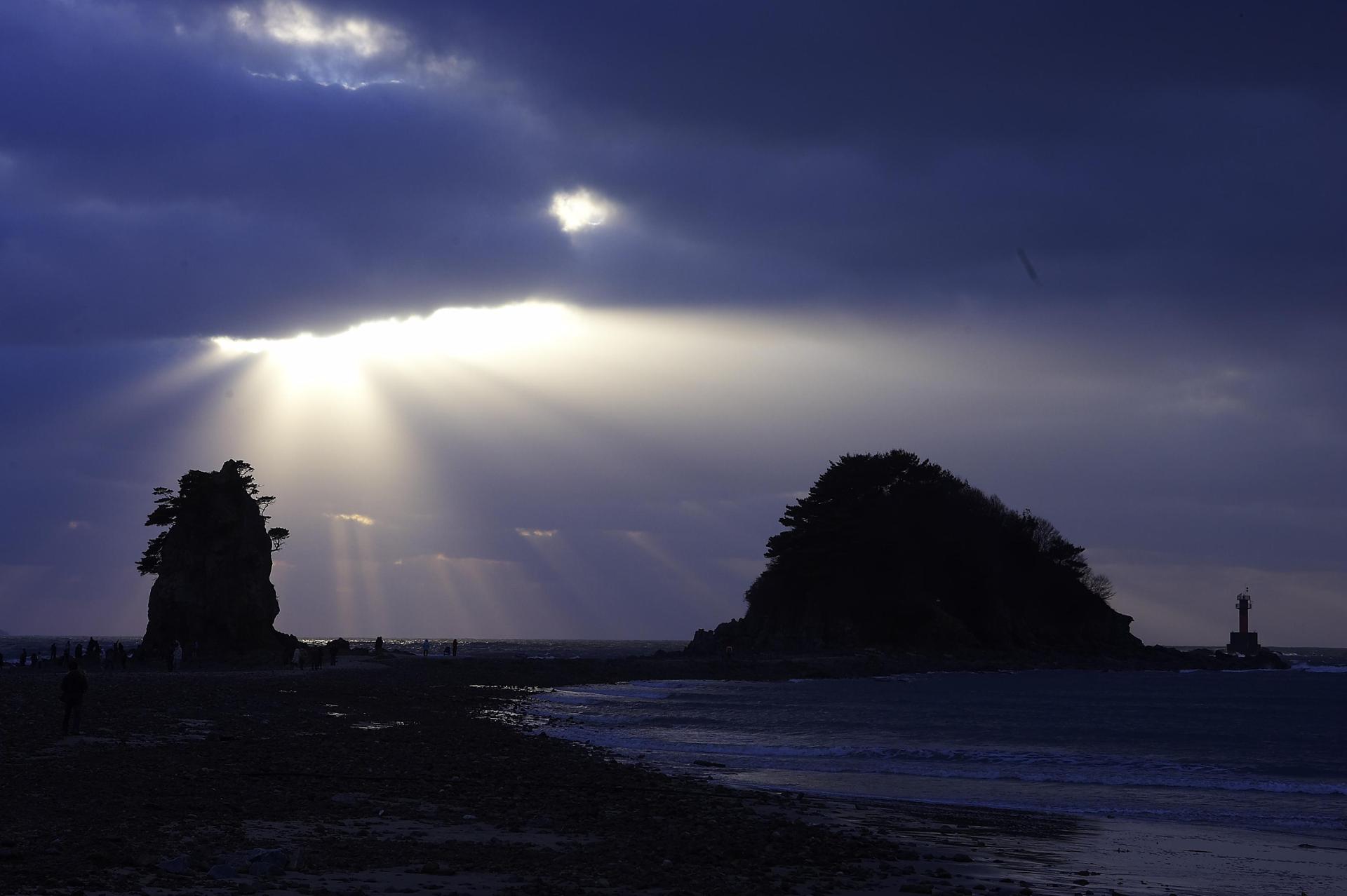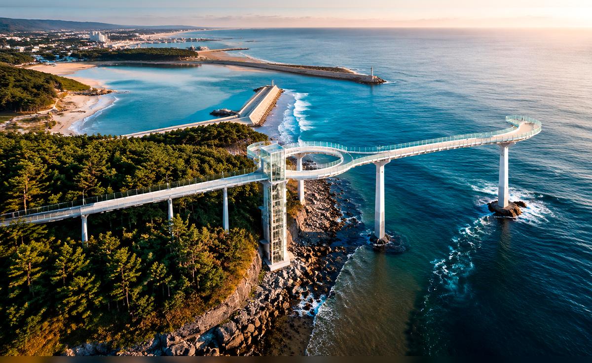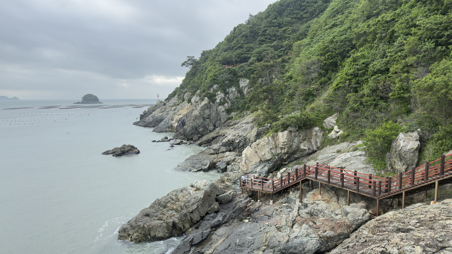
A trail along the coast in Ttangkkeut Village, Haenam County, South Jeolla, which serves as the starting point of the Seohaerang Trail and the final point of the Namparang Trail on the Korea Dulle Trail [WOO JI-WON]
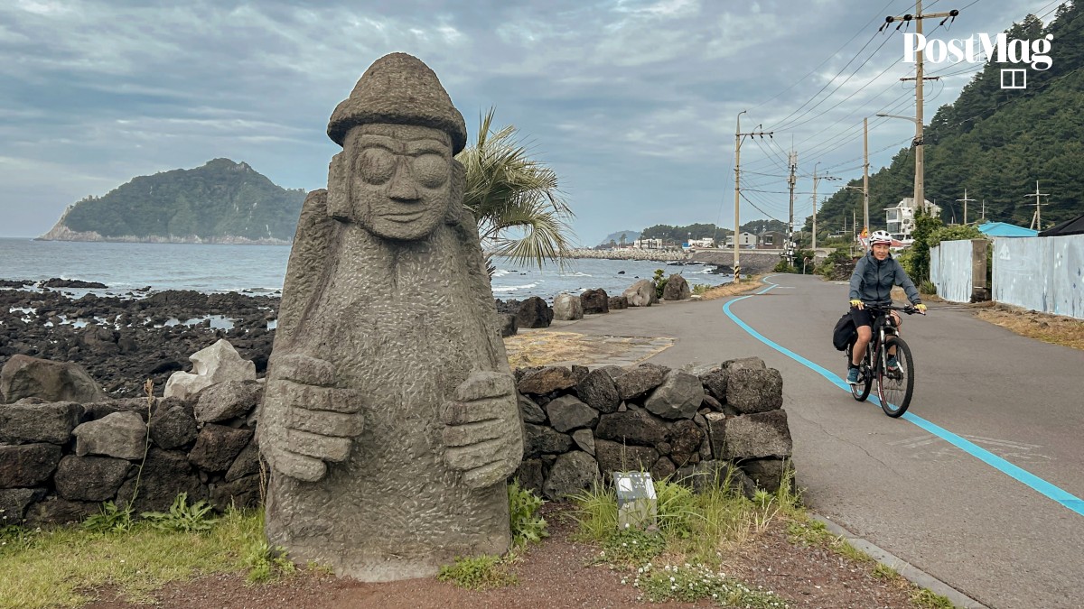
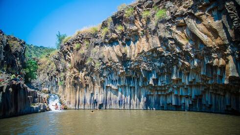
GANGJIN, South Jeolla — The sea never really leaves you on the Korea Dulle Trail. One moment it emerges beyond dense pine trees, and the next it glimmers past wild tea fields, above temple rooftops and even along roadside paths, always finding its way into view.
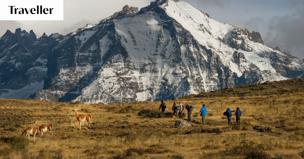
The 4,500-kilometer (2,800-mile) trail network connects the coastal edges of the Korean Peninsula, stretching along the east, west and south coasts as well as the borderlands near the DMZ.
Related Article
For years, the government has worked to stitch together Korea's coastlines alongside nearby villages and regional destinations into one continuous trail, hoping to lure travelers beyond major cities and into quieter, often overlooked corners of the country.