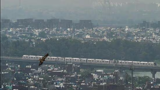
The draft Master Plan-2041 prepared by Visakhapatnam Metropolitan Region Development Authority adopts a structured approach to land use within the defined urbanisable area of 1,906 square km.
| Photo Credit: File Photo
The Visakhapatnam Metropolitan Region Development Authority (VMRDA) has submitted the revised draft Master Plan-2041 to the Andhra Pradesh government, aiming to rectify the previous lapses and ensure balanced growth across the Visakhapatnam, Anakapalli, and Vizianagaram districts.VMRDA Metropolitan Commissioner N. Tej Bharat submitted the to Municipal Administration and Urban Development Department Principal Secretary S. Suresh Kumar at the Secretariat in Amaravati on Friday.The revised draft is the result of a rigorous review process following the State government’s directives to correct shortcomings in the earlier version.The officials analysed 1,241 objections and suggestions received from the public, specifically incorporating 339 distinct points into the updated plan.To ensure a comprehensive framework, the VMRDA conducted extensive review meetings with the elected representatives, government departments, and urban planning experts, ensuring that all professional and public inputs were synthesised into the final proposal.Designed to accommodate a projected population of 6.63 million by 2041, the draft Master Plan emphasises scientific land use and robust connectivity.Infrastructure highlightsThe draft plan has included integrated transport. The plan covers a 3,913-km road network, along with provisions for metro rail corridors, suburban rail systems, and dedicated link roads to Bhogapuram International Airport.It has strategic corridors. Priority is given to the Coastal Development Corridor, the Visakhapatnam-Chennai Industrial Corridor, and port-led development projects.The VMRDA collaborated with the Andhra Pradesh Maritime Board, APIIC, and the National Highways Authority of India (NHAI) to align industrial and economic expansion with regional development needs.Scientific land allocationThe draft Master Plan adopts a structured approach to land use within the defined urbanisable area of 1,906 square kilometres. Of the total metropolitan region spanning 4,380 square km, the allocation prioritises residential needs (17%) and mixed-use development (8.5%), while maintaining significant portions for environmental preservation, including forests (8.1%) and water bodies (7.9%).Transportation infrastructure accounts for 5.7% of the total land use, ensuring that future expansion remains sustainable and efficient.“Once the government grants approval, the VMRDA will move towards the implementation phase by officially notifying the plan for public enforcement,” a VMRDA official told The Hindu. Published - June 12, 2026 11:29 pm IST