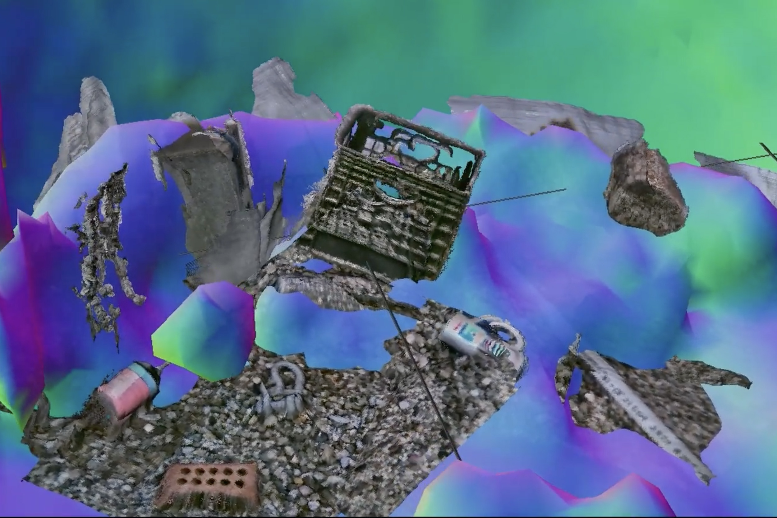
The new underwater mapping technique is akin to pairing a dolphin’s echolocation with a sea turtle’s close-range vision to see and navigate through murky water, in real-time. Credit: Massachusetts Institute of Technology
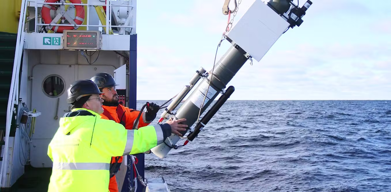
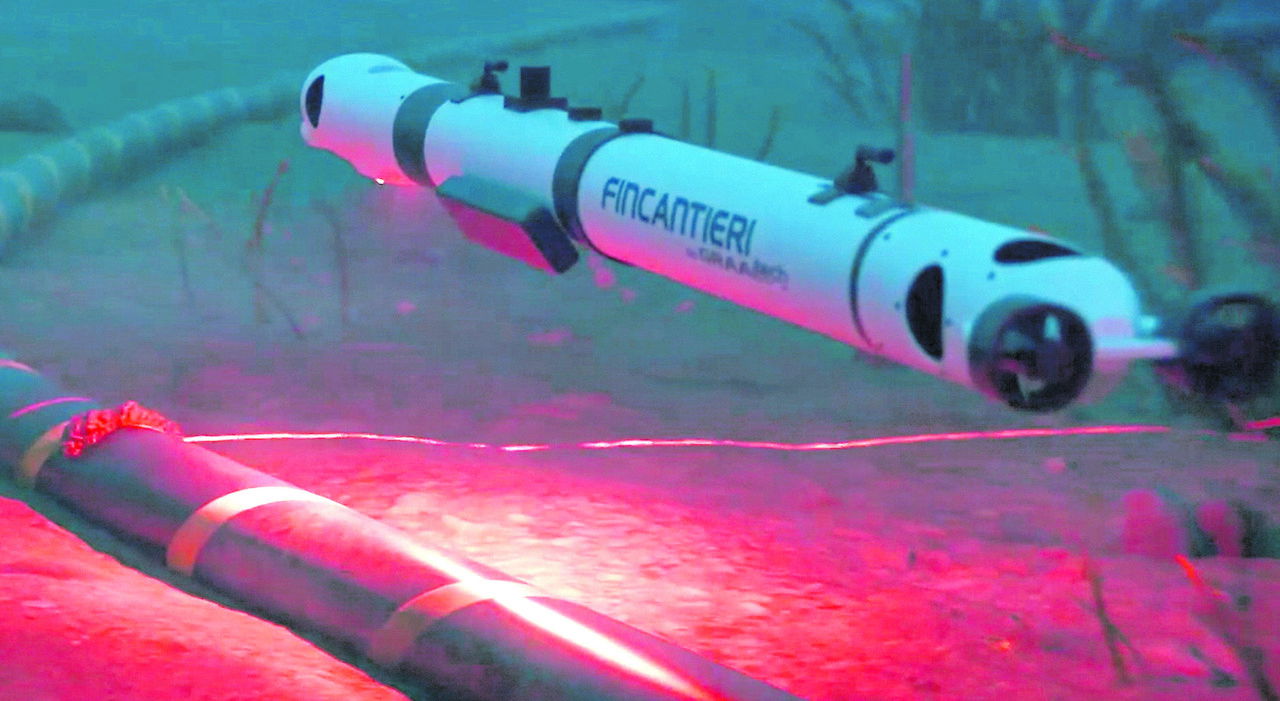
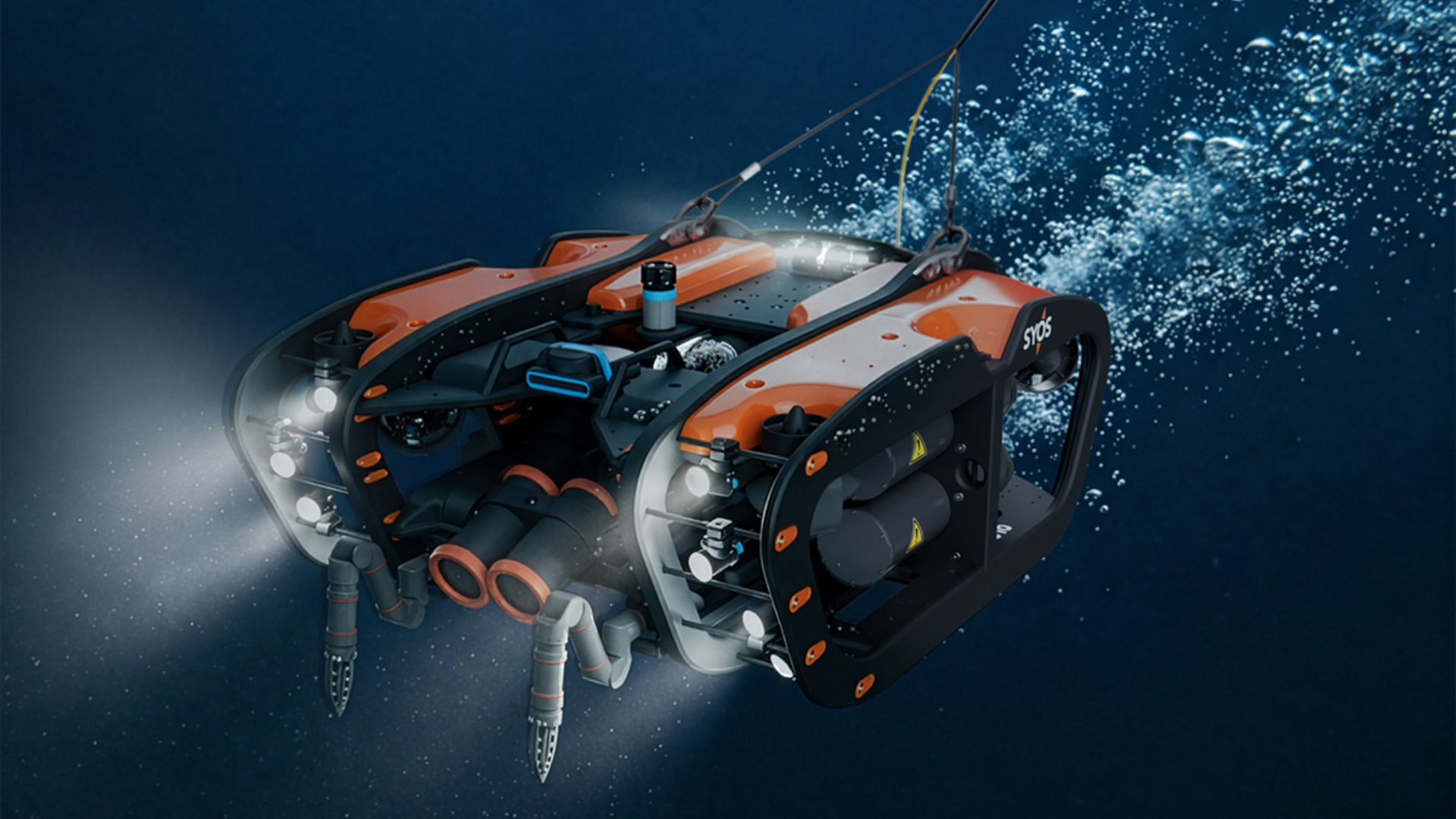
For remotely operated underwater vehicles, cloudy and turbulent waters are often a no-go. When vehicles settle on the seafloor or dig through a sand bed, they can kick up clouds of sediment that make it tough for onboard cameras to see through. Often, the only thing to do is wait until the marine dust settles before a vehicle can safely proceed.
But a new underwater mapping technique developed by engineers at MIT and the Woods Hole Oceanographic Institution (WHOI) may allow vehicles to see through murky, low-visibility waters.
The method fuses visual images from optical cameras with acoustic data from sonar sensors. The combination enables a vehicle to quickly map the general shape of its surroundings using sonar, even in low-visibility waters. A vehicle can move toward certain shapes in the sonar-mapped environment, coming close enough for optical cameras to visually resolve specific objects in detail.
The technique is akin to pairing a dolphin's echolocation with a sea turtle's close-range vision to see and navigate through murky water in real time.