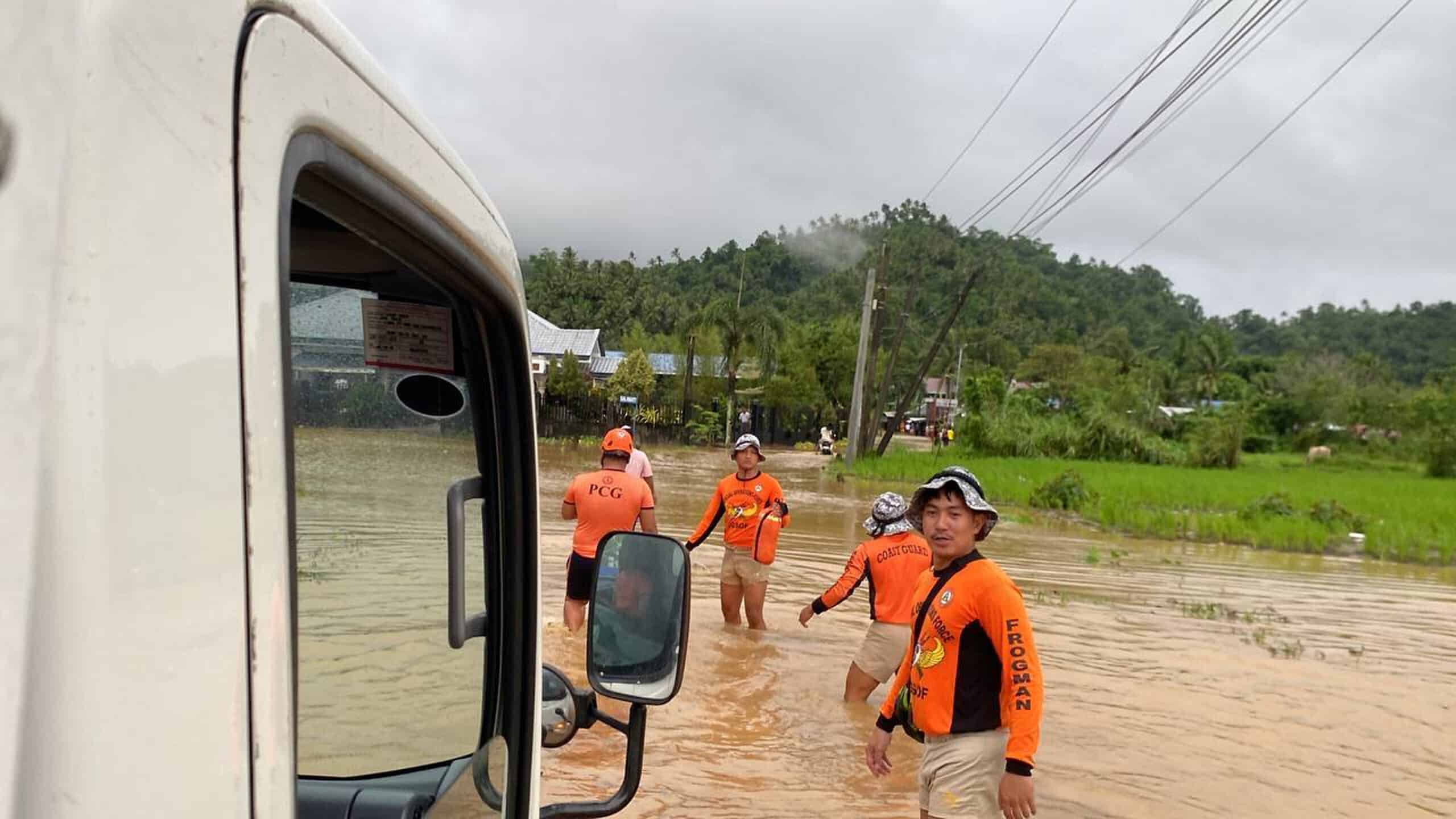
FLOOD composite image from AFP and Inquirer files
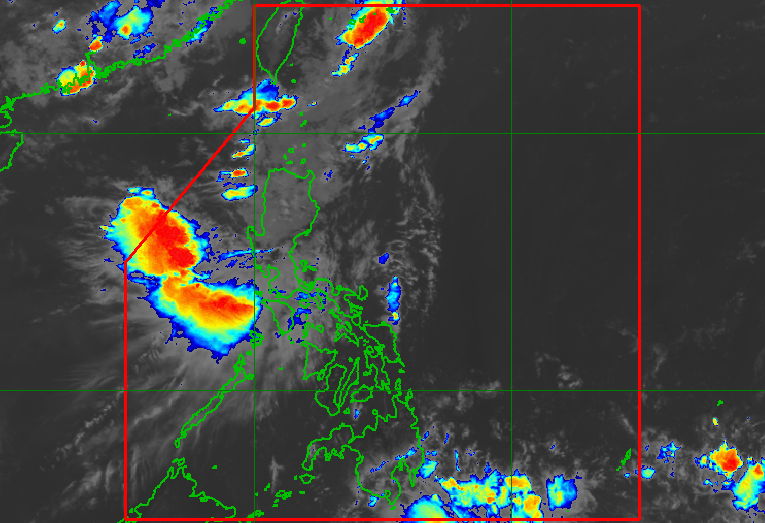
MANILA, Philippines—As the southwest monsoon, or habagat, begins to bring more rain across the country, many Filipinos naturally associate disaster risk with provinces that sit directly in the path of tropical cyclones or other natural hazards.
However, a new analysis by University of the Philippines Diliman associate professor and Inquirer data scientist Dr. Rogelio Alicor Panao suggests the geography of risk is far more complicated.
Using data from the National Disaster Preparedness Baseline Assessment of the Pacific Disaster Center, Panao found that the provinces with the highest exposure to natural hazards are not always the ones facing the highest overall disaster risk. Instead, socioeconomic vulnerability and the ability of communities to respond to disasters often play a decisive role in determining which areas are most at risk.
Article continues after this advertisement