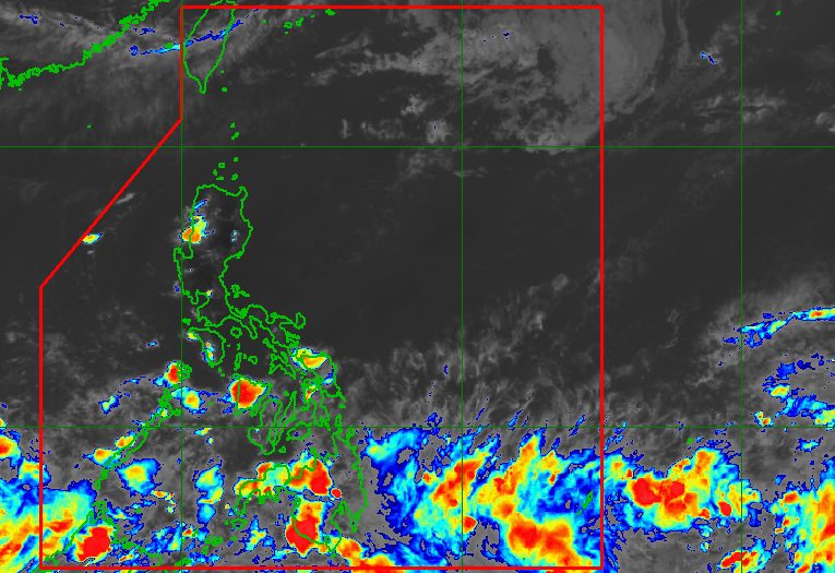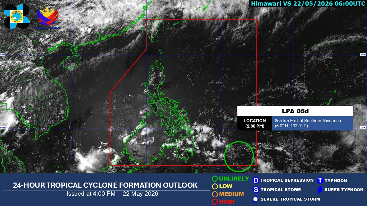
By LYJAH TIFFANY BONZO, GMA News Published May 24, 2026 7:51pm + Add GMA on Google Make this your preferred source to get more updates from this publisher on Google. The state weather bureau on Sunday said it is monitoring a low-pressure area (LPA) outside the Philippine Area of Responsibility (PAR) that has a “medium” chance of developing into a tropical cyclone within the next 24 hours.The Philippine Atmospheric, Geophysical and Astronomical Services Administration (PAGASA) said Sunday the system’s likelihood of intensifying is expected to increase in the coming days.In its public weather forecast, PAGASA said the LPA was located 1,340 kilometers east of northeastern Mindanao as of 3 p.m.Although still outside PAR, the trough of the LPA is expected to bring cloudy skies with scattered rains and thunderstorms over Mindanao, Palawan, Eastern Samar, and Southern Leyte. Moderate to heavy rains may trigger flash floods or landslides in affected areas.Meanwhile, Quezon and the Bicol Region may experience partly cloudy to cloudy skies with isolated rain showers or thunderstorms due to easterlies.Localized thunderstorms are also expected over Metro Manila and the rest of the country.PAGASA said light to moderate winds would prevail nationwide, with slight to moderate seas ranging from 0.6 to 1.5 meters in the Visayas, Mindanao, Palawan, and Northern Luzon, and from 0.6 to 1.2 meters in the rest of Luzon.At the PAGASA Science Garden weather station in Diliman, Quezon City, the highest temperature recorded on Sunday reached 35.9 degrees Celsius at 3 p.m., while the lowest temperature was logged at 26.6 degrees Celsius at 5 a.m.Sunrise in Metro Manila on Monday is expected at 5:27 a.m.—MCG, GMA News
PAGASA monitors LPA with growing cyclone potential
The state weather bureau on Sunday said it is monitoring a low-pressure area (LPA) outside the Philippine Area of Responsibility (PAR) that has a “medium” chance of developing into a tropical cyclone within the next 24 hours.
270 words~1 min read