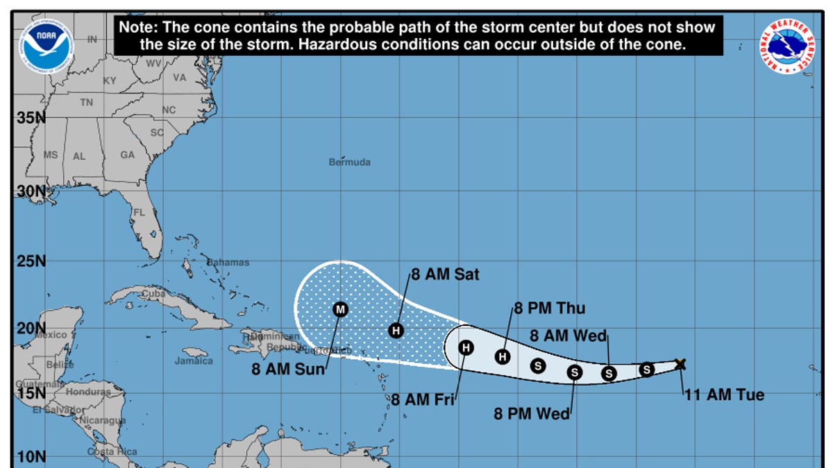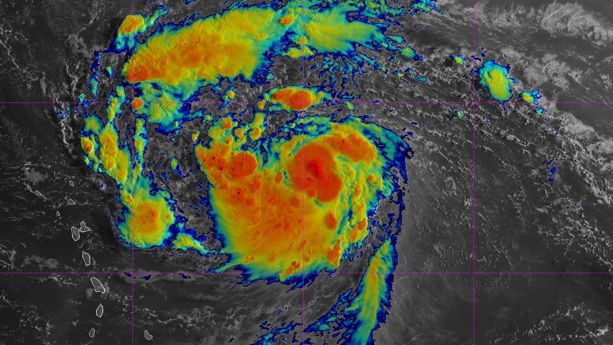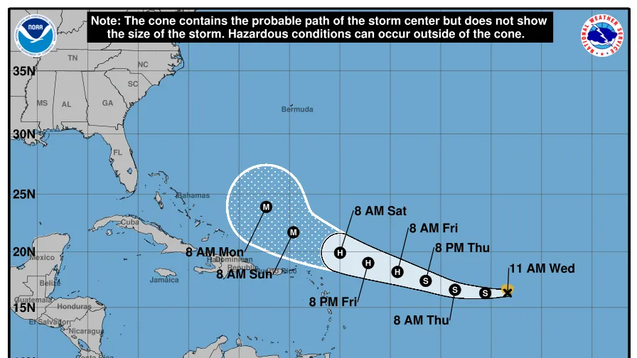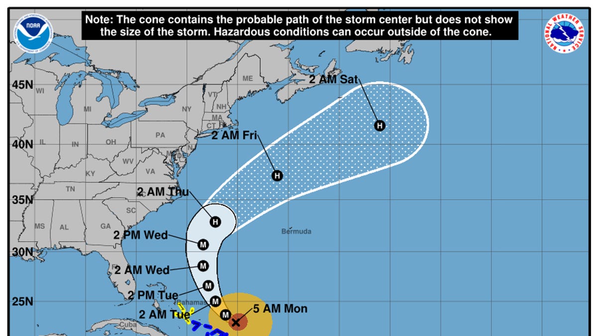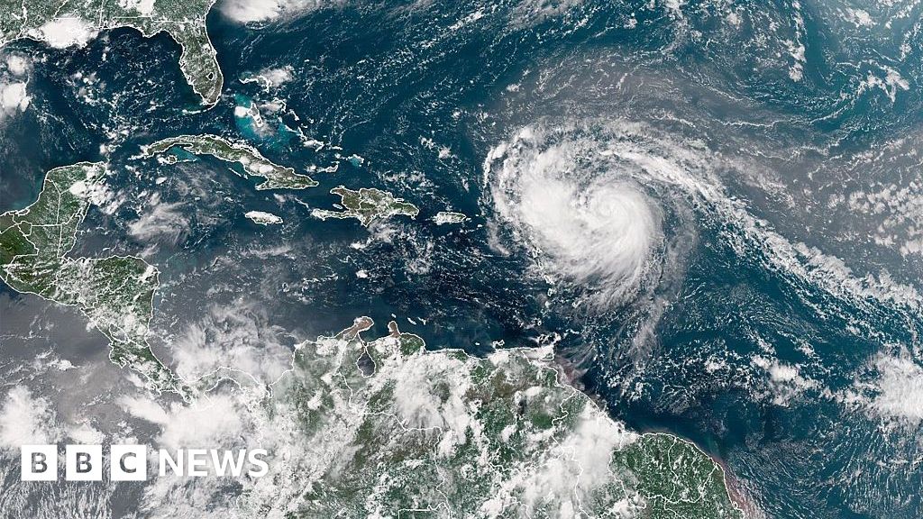
Hurricane Erin has weakened slightly into a Category 3 hurricane but is forecast to "substantially grow in size" as it moves over the western Atlantic Ocean through the week, according to the National Hurricane Center.
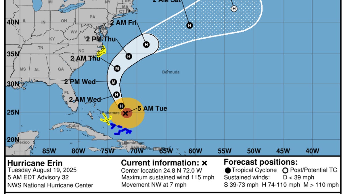
According to a 5 a.m. ET advisory from the hurricane center on Aug. 19, Erin is located about 750 miles south-southeast of Cape Hatteras, North Carolina, with maximum sustained winds near 115 mph with higher gusts.
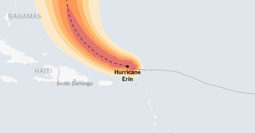
Hurricane center forecasters said Erin is moving toward the northwest, and that a turn toward the north-northwest with an increase in forward speed is expected Tuesday, Aug. 19, followed by a northward motion on Wednesday and then a northeastward motion on Thursday.
On the forecast track, the center of Erin is expected to pass to the east of the Bahamas Tuesday, Aug. 19, and then move over the western Atlantic between the U.S. east coast and Bermuda on Wednesday and Thursday. Erin's strength could still fluctuate before it finally begins to wind down later in the week, according to the center's forecast.
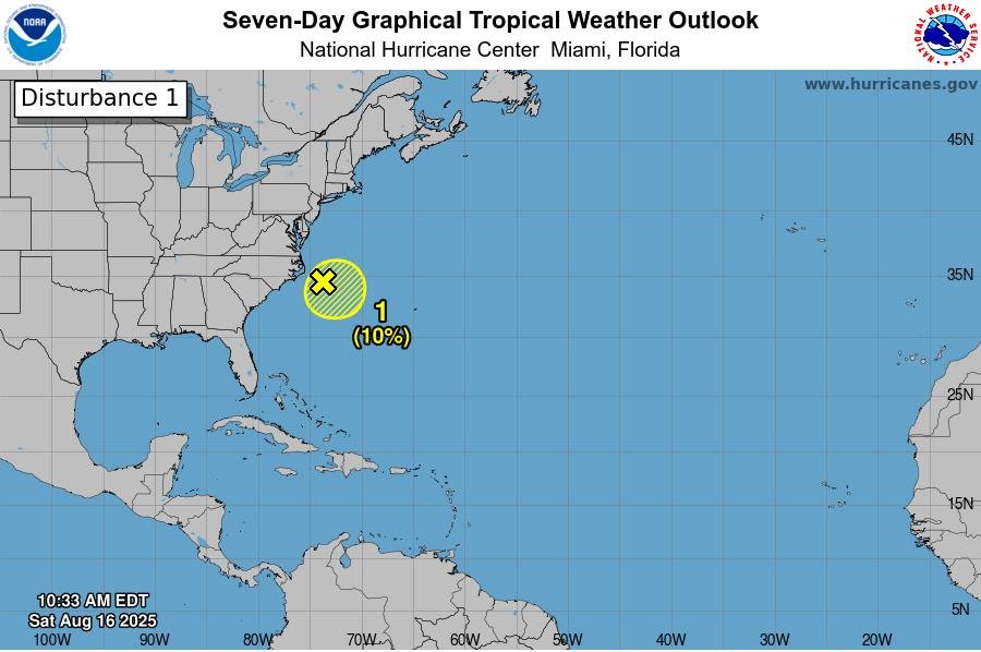
Big waves and rough surf are expected along the Atlantic Coast from Central Florida to Canada, with evacuations underway along at least two of the islands along North Carolina's Outer Banks ahead of an expected storm surge and waves of over 10 feet.