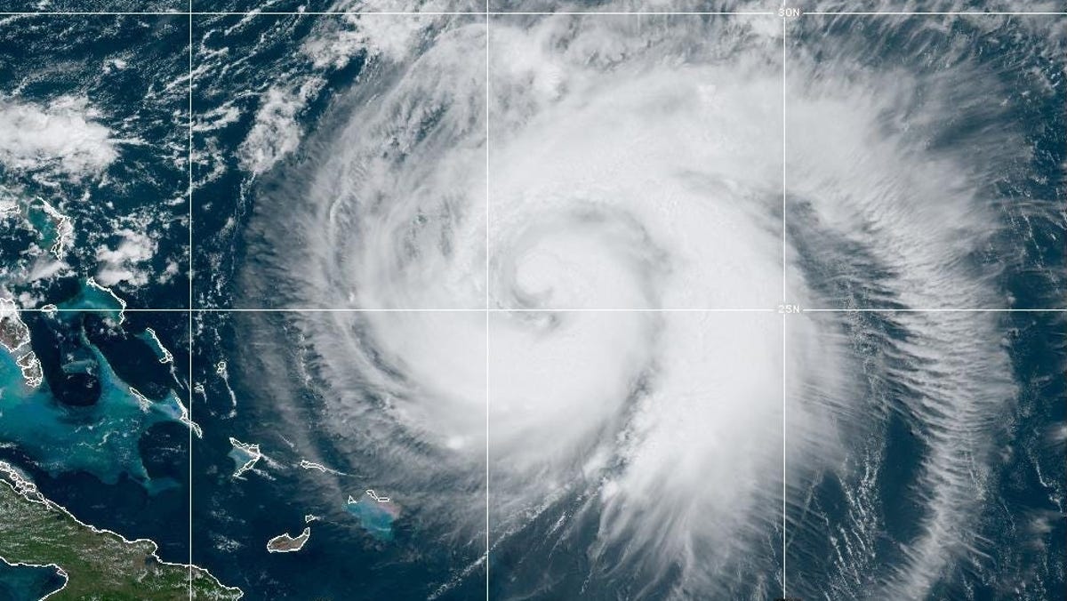
The hurricane map in the Atlantic Ocean may be nearly blank now, but forecasters say that may not last much longer, as several signs point to an uptick in activity across the basin.
"The tropical environment should become more conducive for Atlantic hurricane activity in the next few weeks," said Colorado State University meteorologist Phil Klotzbach in a July 24 email to USA TODAY.
WPLG-TV hurricane expert Michael Lowry agreed with this prediction, telling USA TODAY that "we’re already seeing longer-range forecast models start to perk up... The deep Atlantic tropical waves coming from Africa have been peppier this week, and July 24's long-range forecast models jumped from a generally quiet next 15 days to a much busier look for the first part of August."
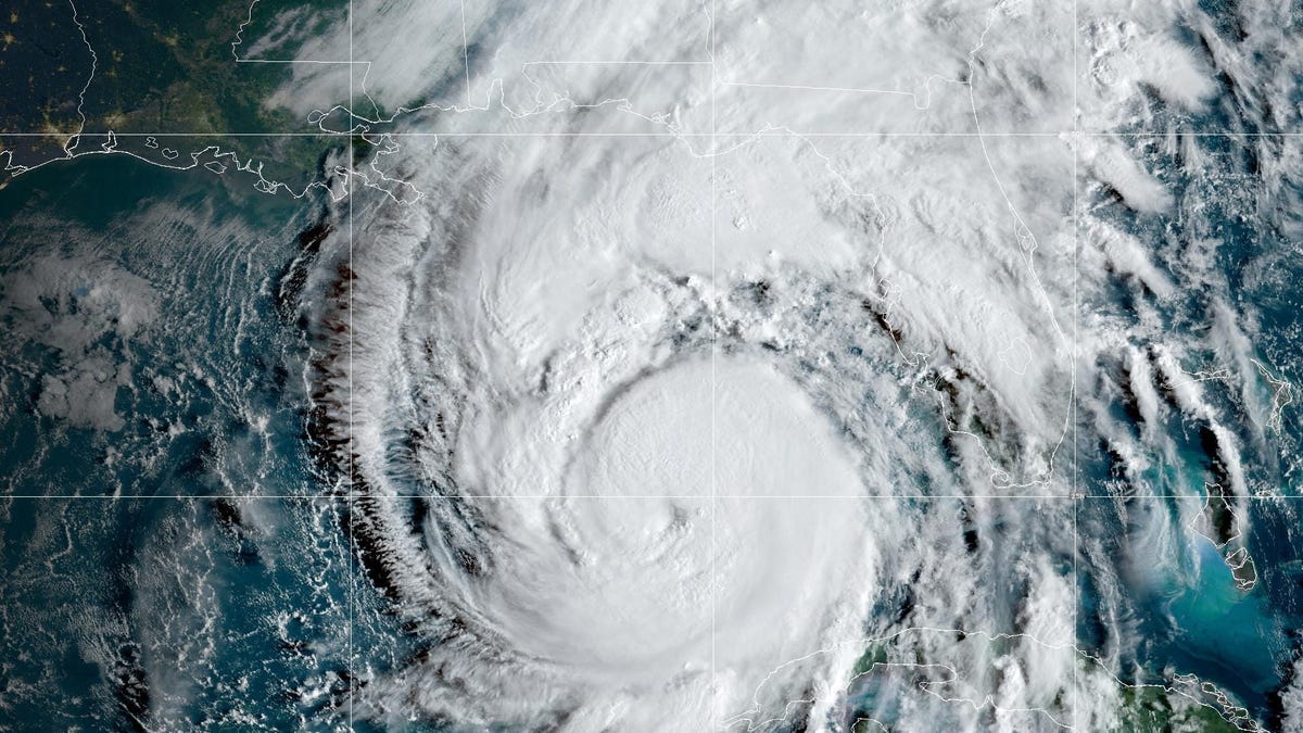
With three named tropical storms (Andrea, Barry and Chantal) so far, the number of storms is actually above average for this time of year. "Currently, we're above-normal for named storms but below normal for all other metrics," Klotzbach said.
One of those metrics is Accumulated Cyclone Energy (ACE), a key measurement of the severity of a hurricane season. ACE measures the total wind energy produced by a season of tropical storms and hurricanes. It measures the intensity and duration of storms, and gives a better indication of overall activity than simply counting the number of storms, according to the National Oceanic and Atmospheric Administration.