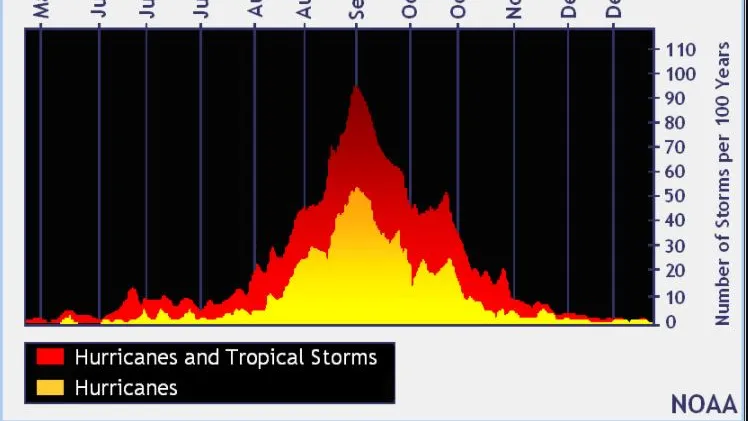
As a rare lull continues at the peak of the Atlantic hurricane season, AccuWeather hurricane experts remain on alert for tropical storm development. Several areas will be monitored in the coming weeks, and with unusually warm waters across much of the basin, tropical activity could escalate quickly.
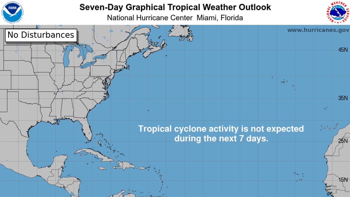
"Dry and dusty air from the Sahara Desert will keep the Atlantic unusually quiet during the climatological peak of hurricane season on Wednesday," AccuWeather Lead Hurricane Expert Alex DaSilva said.
"The dry air and Saharan dust should start to clear out of the Atlantic main development region this weekend," DaSilva added. "Atmospheric conditions that are conducive to tropical development are expected to return in the second half of the month."
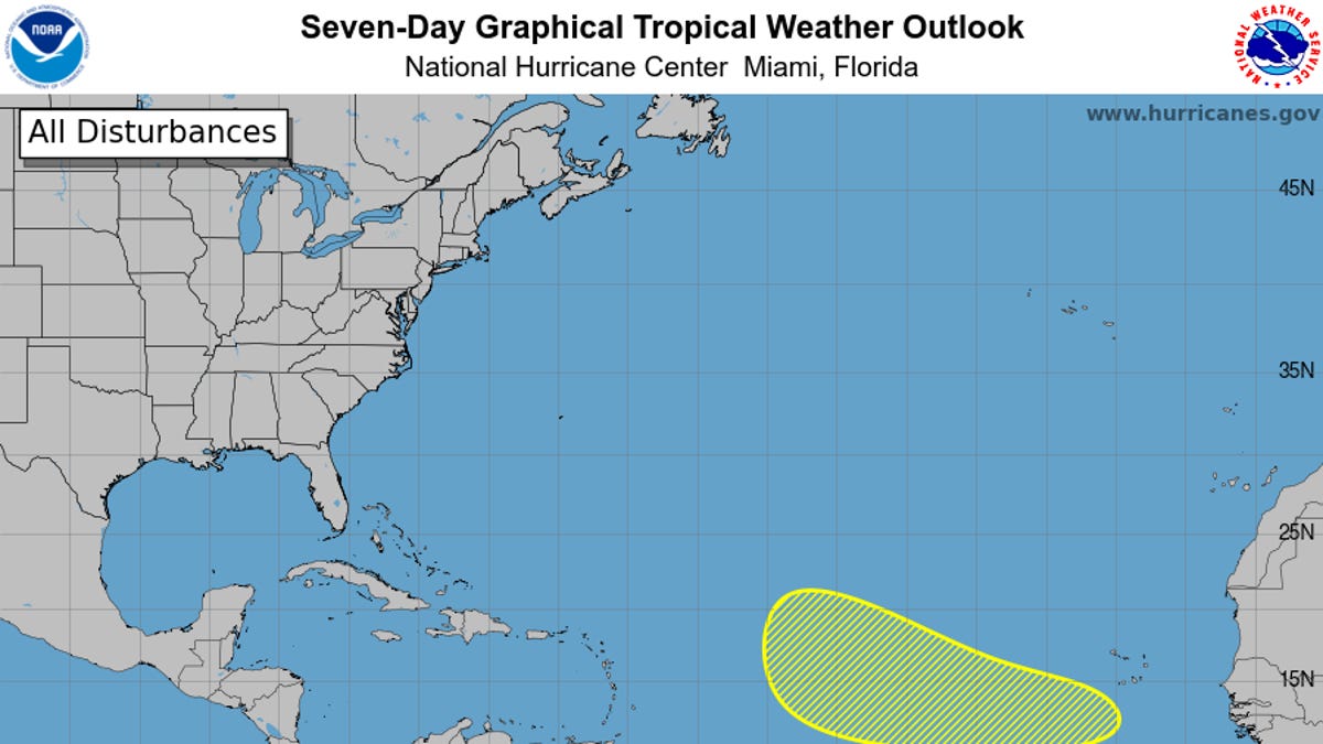
That persistent dry air prevented a tropical rainstorm from strengthening into a tropical storm east of the Caribbean over the weekend. A weak tropical wave of low pressure struggled to maintain a small cluster of thunderstorms just east of the Leeward Islands on Monday. Instead of easing, the dry air intensified.
This batch of showers and thunderstorms will drift westward from the Leeward Islands toward Puerto Rico by midweek, producing conditions typical of a Caribbean tropical wave. It is one of dozens of tropical waves the region typically experiences from late spring through early autumn.