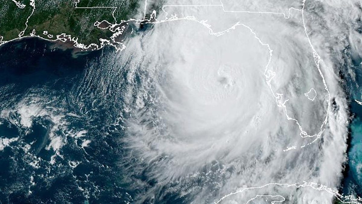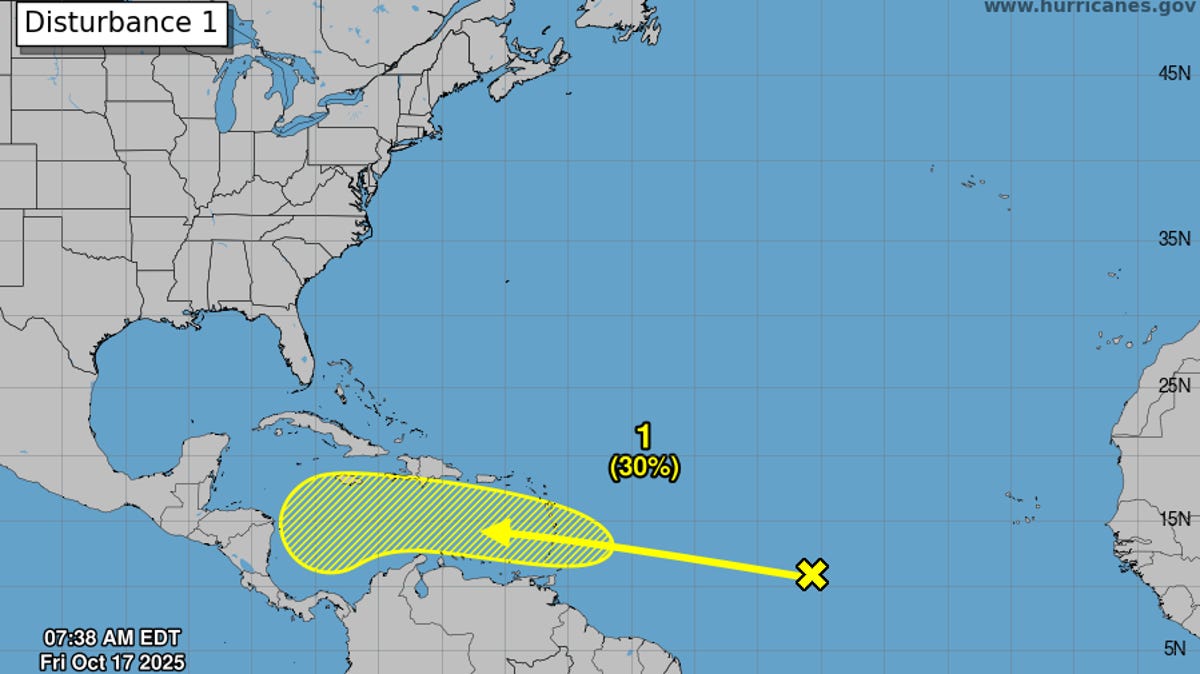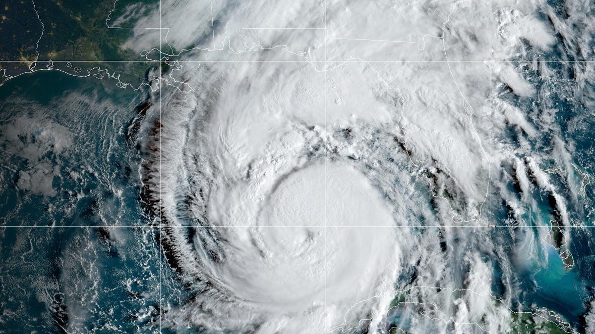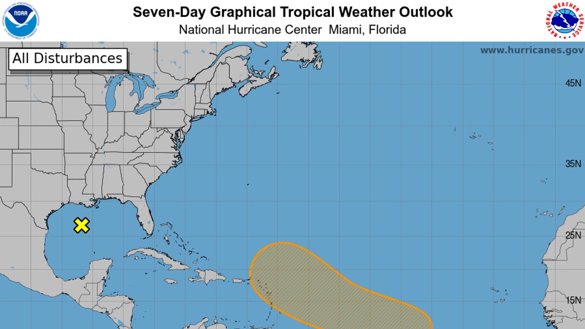
Pull up the National Hurricane Center's daily map this week and you’ll see that no tropical cyclone activity is expected within the next seven days as the 2025 Atlantic hurricane season kicks off on June 1.
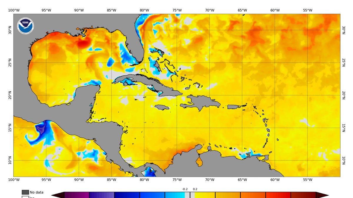
Twenty years ago, this 7-day outlook might have been unthinkable, but with improvements in satellites and forecast technology, meteorologists now know more than ever about when and where storms form and move. Thanks to higher resolution satellites, hurricane researchers also know more about the weather patterns that move westward across the Atlantic and Caribbean that could eventually become tropical storms or cyclones.
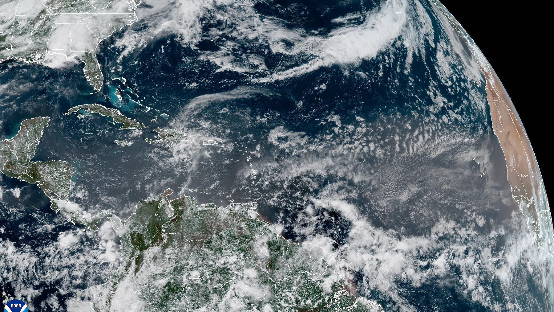
Known as tropical waves, these patterns – found in the atmosphere above the surface and not in the ocean – have always moved across the Atlantic and around the globe. These waves are found in areas of low pressure above the surface in the atmosphere.
Forecasters are watching these waves more closely than ever and understand more about how some of them become the seeds of tropical storms and hurricanes, said Kelly Núñez Ocasio, assistant professor in the atmospheric sciences department at Texas A&M University.
As a result, the waves also catch the attention of casual observers who find their way to the page where the hurricane center’s highly trained specialists present their discussion of what’s happening across the Atlantic basin. When a tropical wave gets mentioned, there's no immediate cause for alarm or concern.