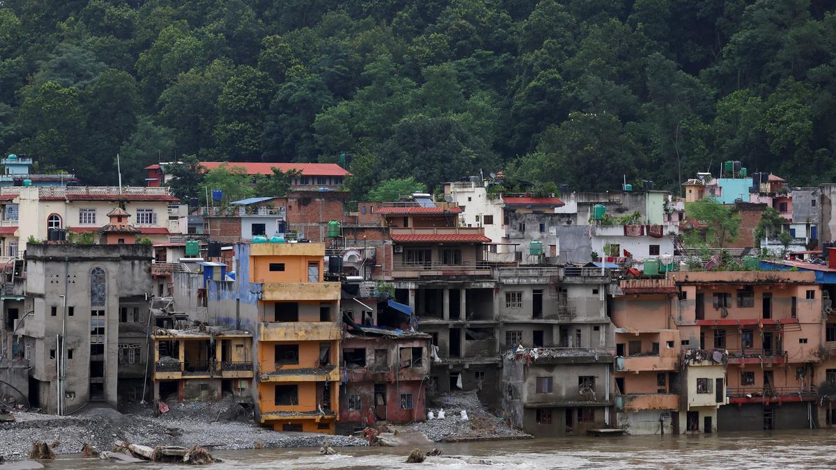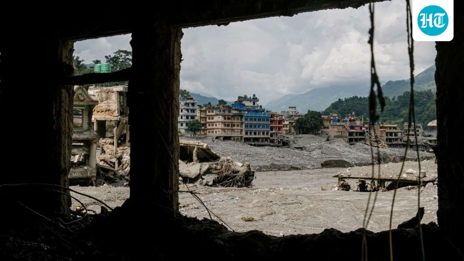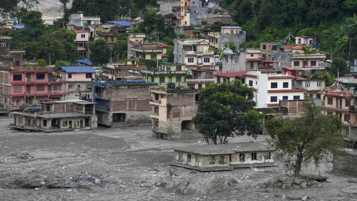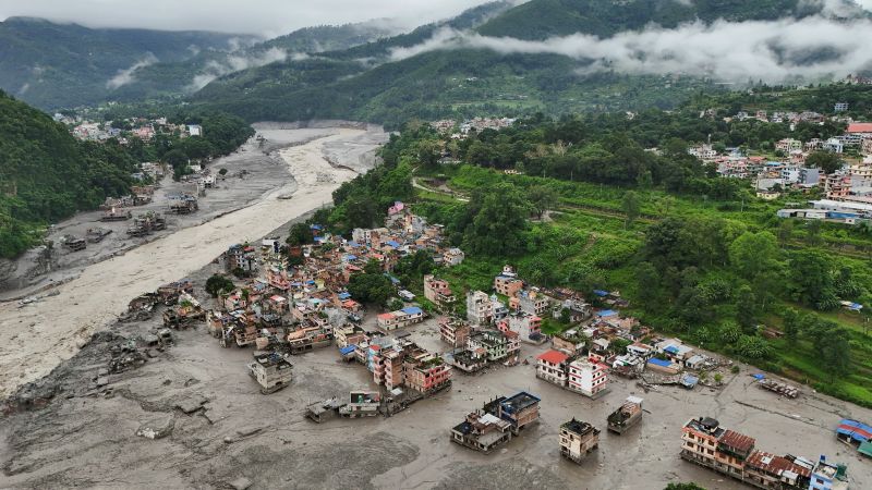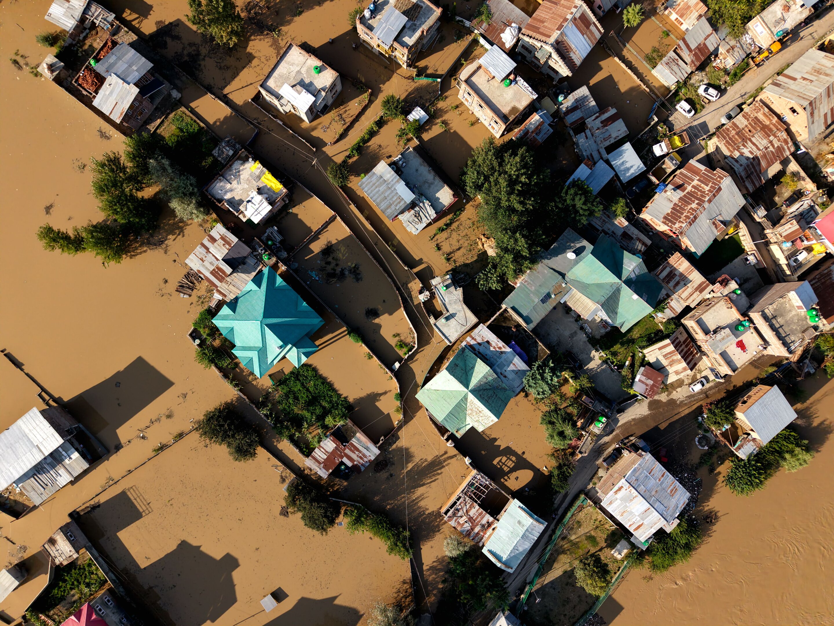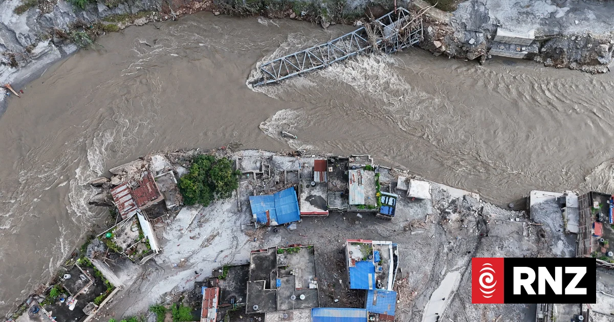
THREE features of the catastrophic flood that tore through Nepal on Aug 16, 2026, do not fit Pakistan’s mountain disaster strategy: it started without rains; it originated across the border; it had huge compounding factors. None of these three is a one-off. They describe a disaster category that has been forming across the region for over a decade, growing more frequent, widespread and severe. But Pakistan’s climate planning has stayed focused almost entirely on the monsoon.
A mass of rock and glacier ice broke away from an altitude of about 5,200 metres in the upper mountain range, generating seismic energy equivalent to a 5.2-magnitude earthquake. The fall produced enough friction to melt the ice on the way down, turning a dry avalanche into a slurry of mud, ice and boulders moving at up to 167 kilometres an hour at a height of 9m. The debris choked the river and formed a dam. When that gave way, a second surge followed; both hit settlements and the hydropower works below.
It started above the cloud levels. Slopes at this altitude are held up by permafrost gluing the rock and glacial ice buttressing the valley walls. Warming removes both: thawing permafrost raises pore pressure and cuts shear strength, while retreating glaciers stop bracing the slopes from outside. The rock fails on temperature’s schedule, not the monsoon’s, which is why Chamoli in Uttarakhand in India went down under clear skies in 2021 and Langtang followed five years later.