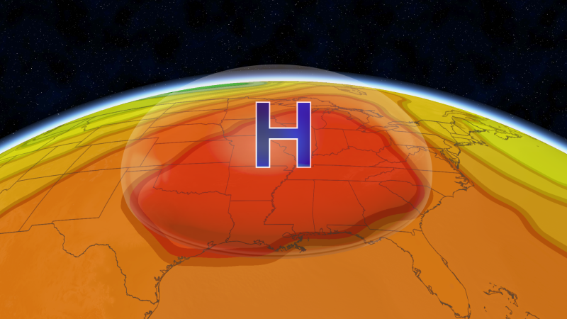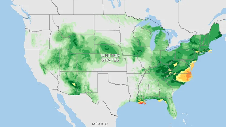
The Southeast is roasting under a heat dome that’s set to send several rounds of severe storms and flooding to the Northeast and Great Lakes next week.
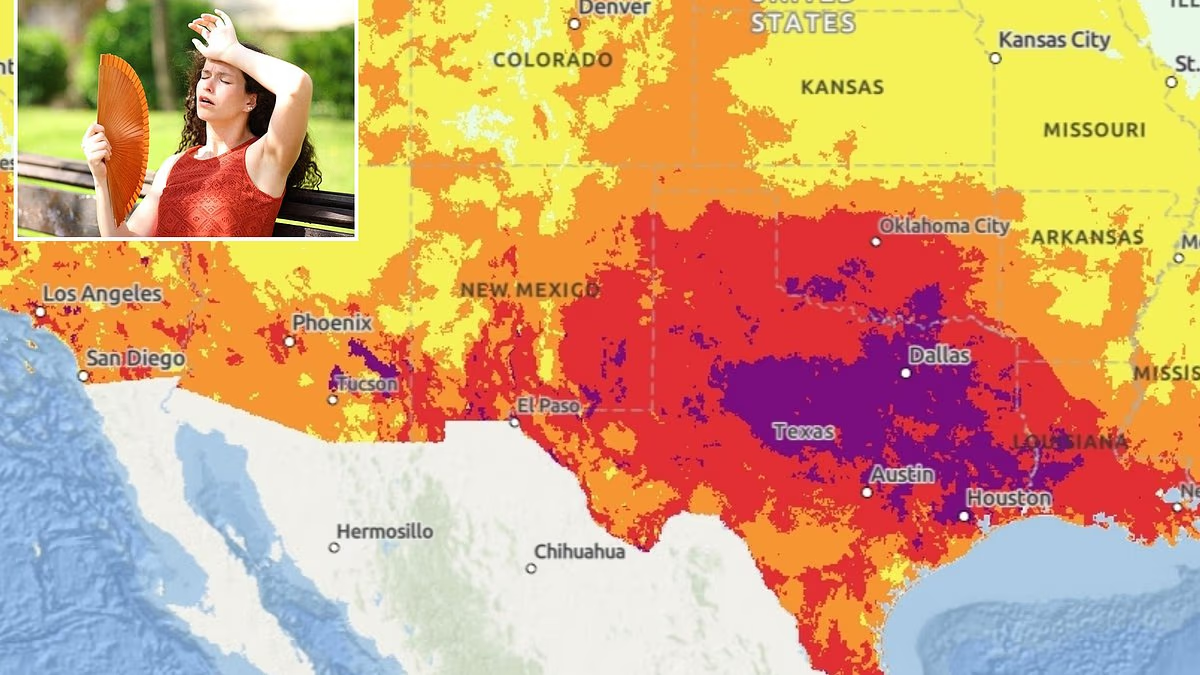
Fall will be here soon, but it won’t feel like it across much of the South and central US, where a heat dome stretching from the Rockies to the East Coast has pushed temperatures above 100 degrees over the past week, especially in Texas, Oklahoma, Kansas, Louisiana and Arkansas. Combined with the humidity, some days have felt closer to 110 degrees.
The heat itself may not set many record highs in the next few days, but overnight lows are expected to be 10 to 15 degrees above average, with some spots as hot as 20 degrees above. Well over 100 record-warm daily lows could be broken over the next week.
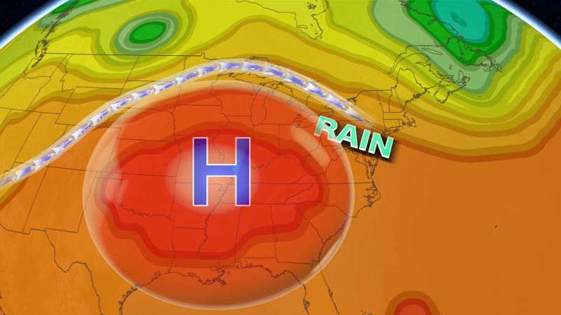
But the heat dome, an area of high pressure that traps warm air beneath it, isn’t just sending temperatures soaring. It’s also feeding a storm threat facing the Northeast and Great Lakes starting Tuesday in two ways.
First, it acts like a boulder in the jet stream, obstructing the normal flow of air and sending storms riding up and around its edges. It’s similar to the setup that fueled deadly flooding across the Plains and Midwest earlier this month.