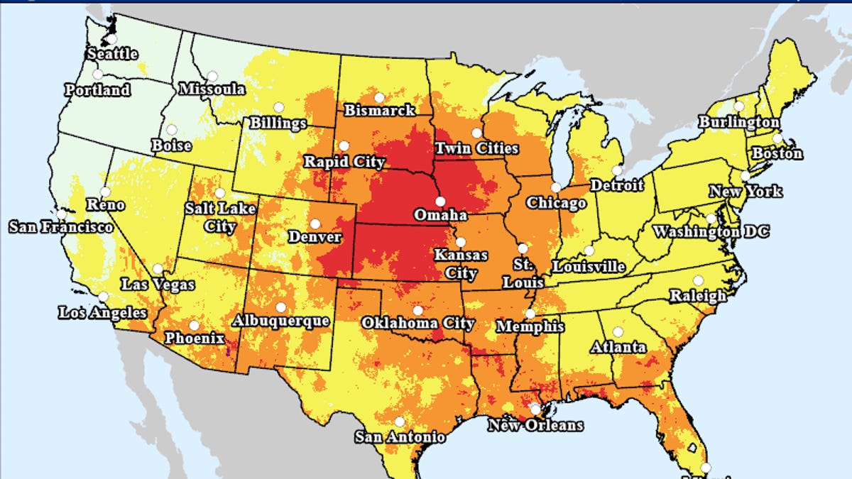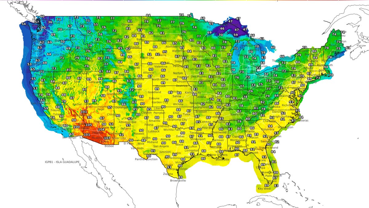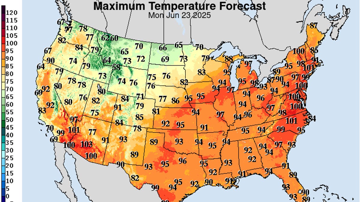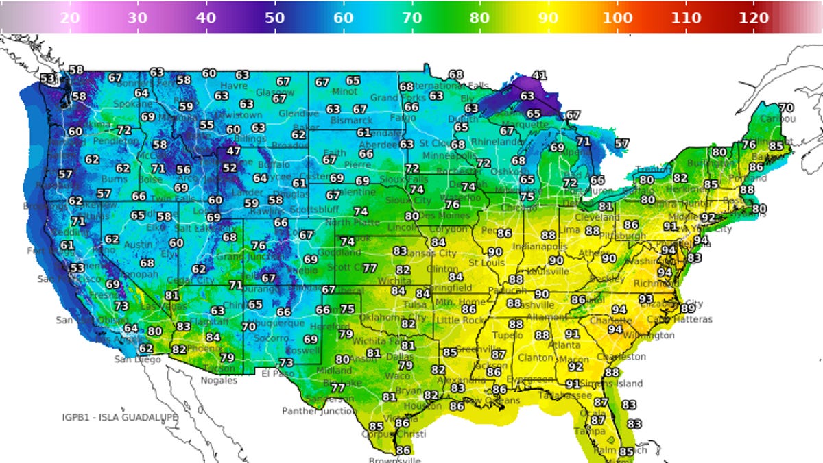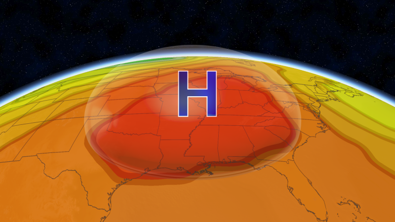
A large heat dome that will dominate the weather pattern across the eastern two-thirds of the nation into late June will produce more than record-smashing temperatures, as severe thunderstorms will continue riding its periphery, warn AccuWeather meteorologists.
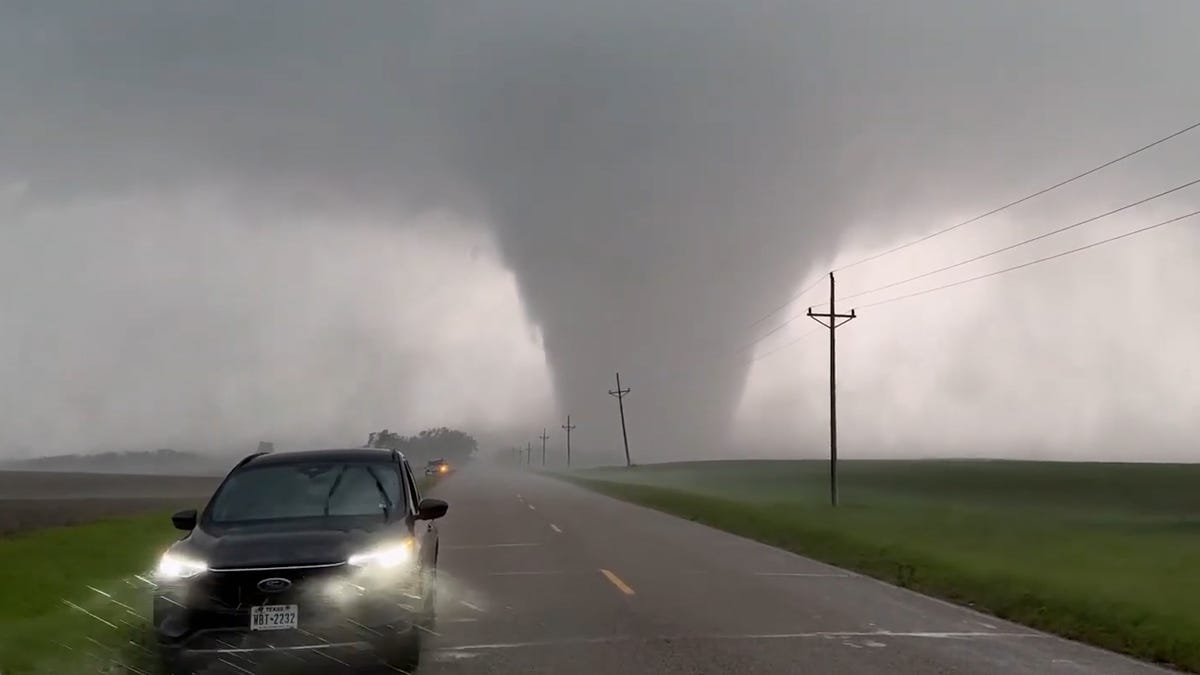
The storms, fueled by the heat clashing against cooler air near the edge of the dome of high pressure, will be found mostly in the Plains and Upper Midwest in the coming days, but may also venture into parts of the Northeast, forming a "ring of fire." Because of the atmospheric energy that will be available, they will pack a punch.
"The thunderstorm complexes that will be moving along the northern and western periphery of the heat ridge the next few days will be fast-moving, and bring downpours, lightning, hail and gusty winds," said AccuWeather Senior Meteorologist Chad Merrill.
Storms to reset in the High Plains late this weekend
After impacting parts of the Great Lakes and Northeast into the weekend, severe thunderstorms are expected to re-form over the western High Plains during the second half of the weekend, say AccuWeather severe weather experts.