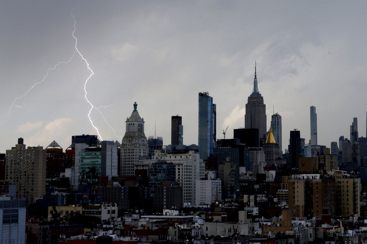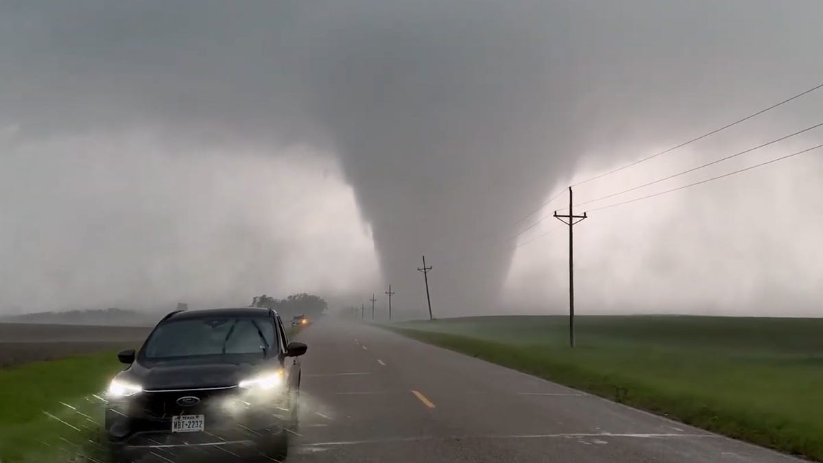
The high pressure system baking much of the Eastern half of the nation with extreme heat continues to help spawn dangerous thunderstorms up into the Plains and Upper Midwest, and over three days at least a half-dozen weather-related fatalities were reported.
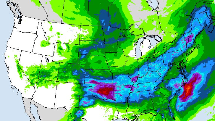
On June 23, the Storm Prediction Center showed nearly 20 million people at risk of severe thunderstorms from the Central Plains to the Great Lakes through the afternoon and into the evening.
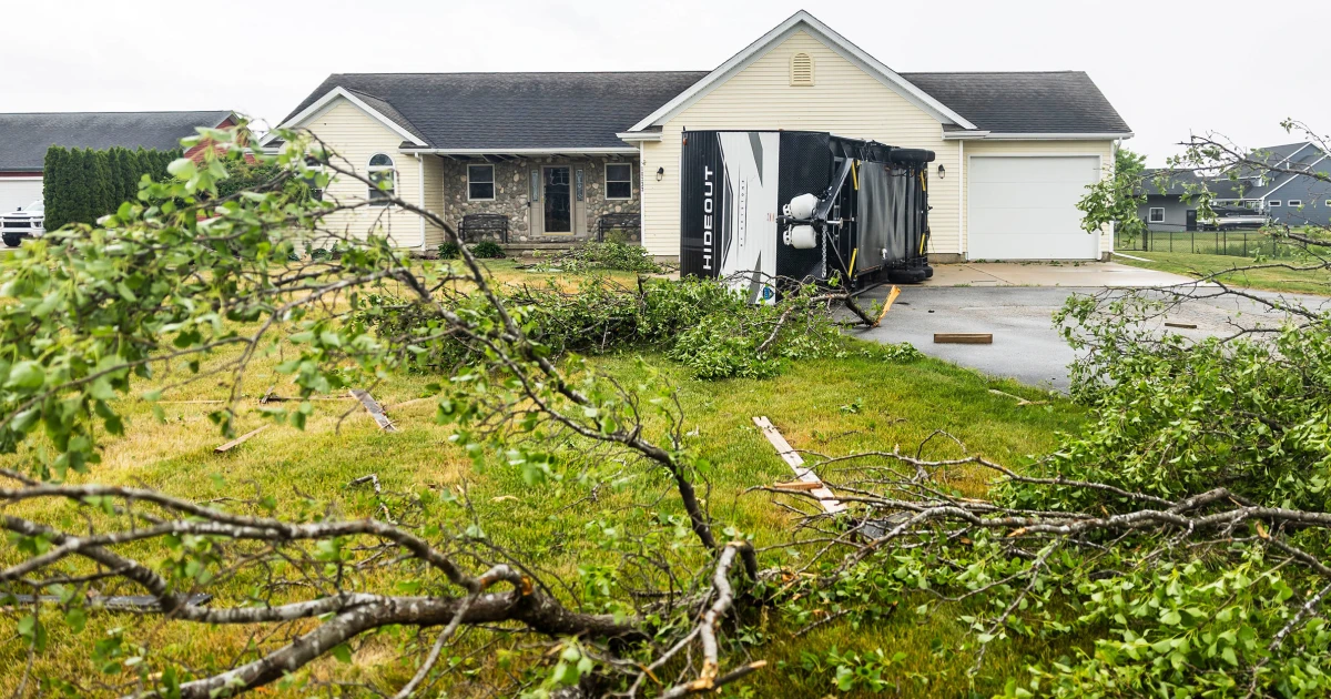
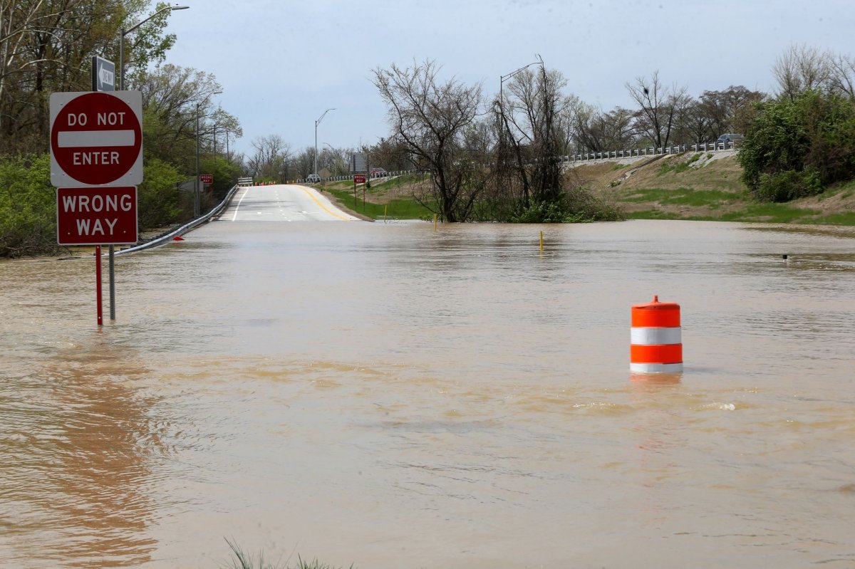
A 106 mph wind gust was reported in Bemidji, Minnesota on June 21, according to the National Weather Service in Grand Forks, North Dakota. Wind gusts as high as 75 mph to 99 mph ripped through eastern North Dakota the same day, leaving nearly 23,000 utility customers still without electricity in the two states roughly 48 hours after the storms, according to USA TODAY's outage tracker.
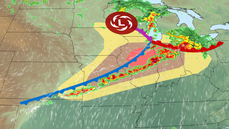
The event was officially labeled a derecho, the weather service announced on June 23. A derecho, from the Spanish word meaning "straight ahead" is a long-lived, widespread storm, accompanied by significant winds. The weather service is conducting post-storm surveys to determine which damage was caused by straight-line winds and which by tornadoes.
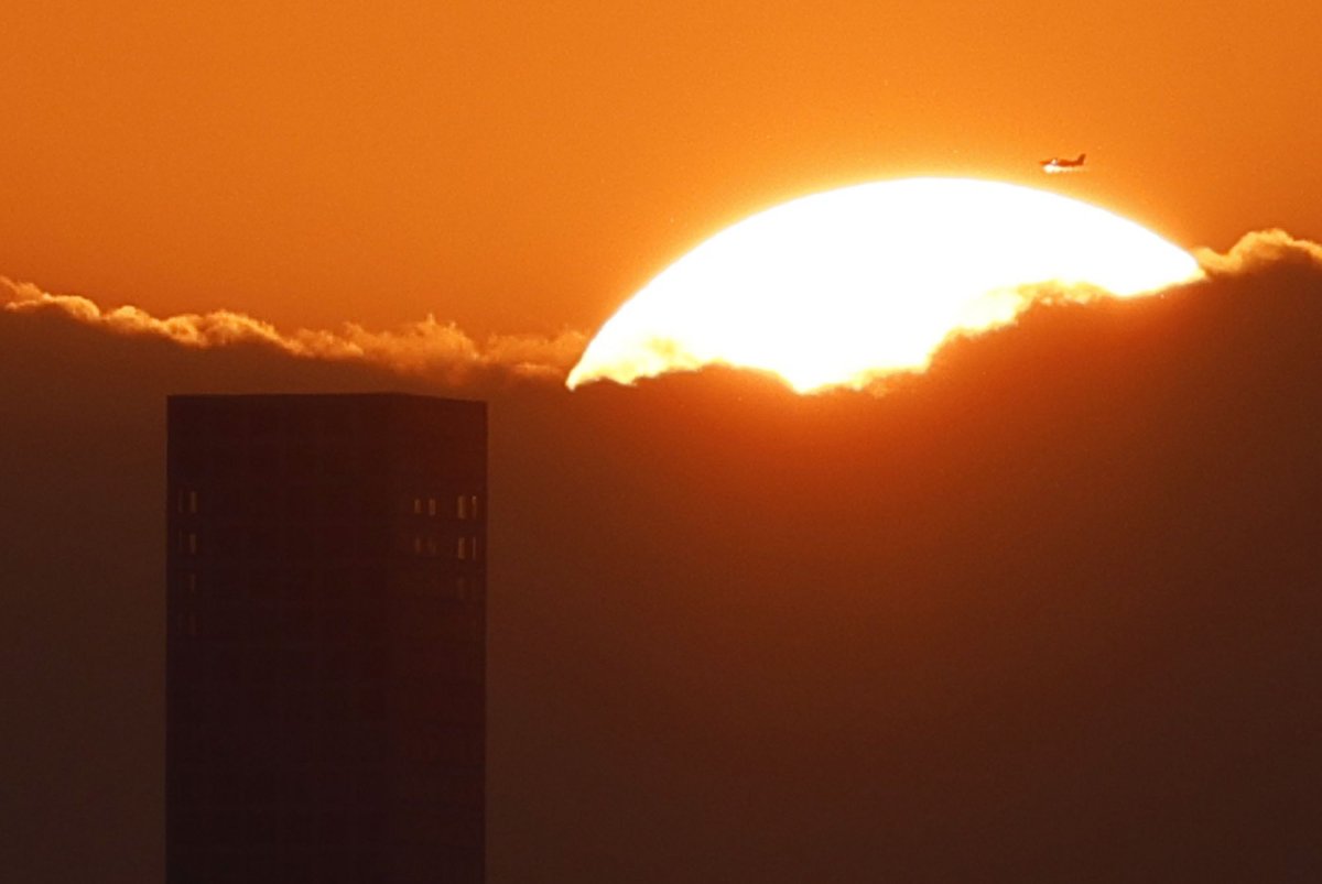
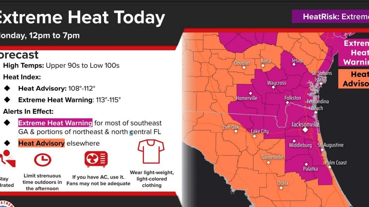
The high winds and storms are originating in a pattern known as a "ring of fire," where thunderstorms build in a clockwise ring of airflow around the edges of the dome of high pressure fueling the current heat wave. Tens of millions are under heat advisories in the East, and record-breaking temperatures are expected at least through June 24.