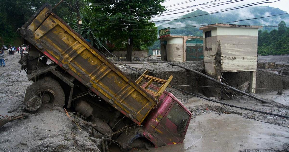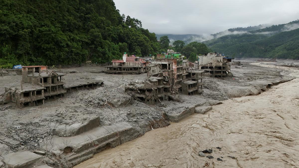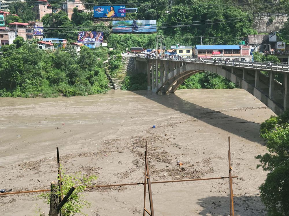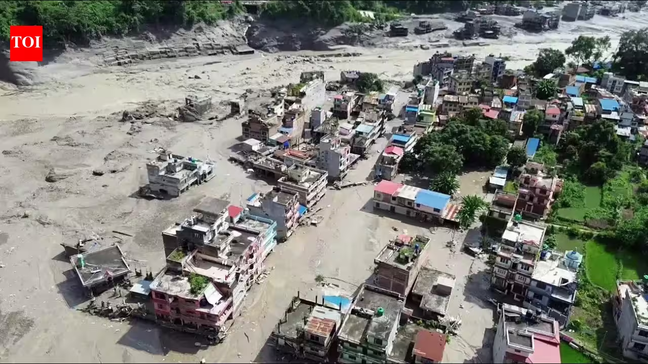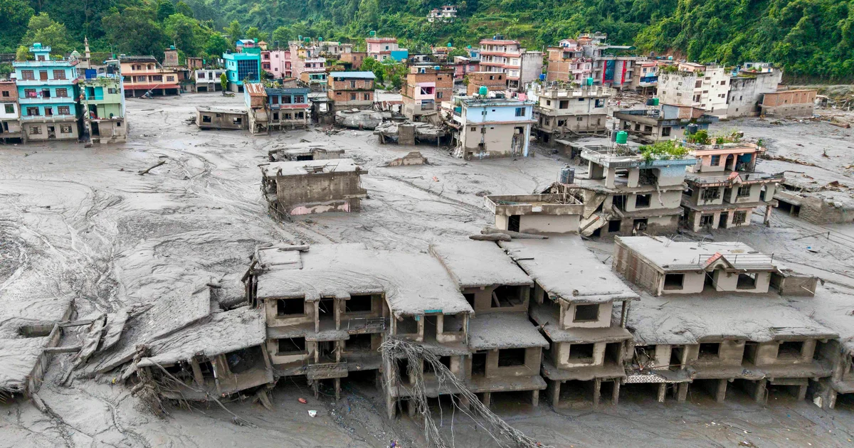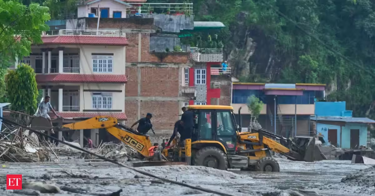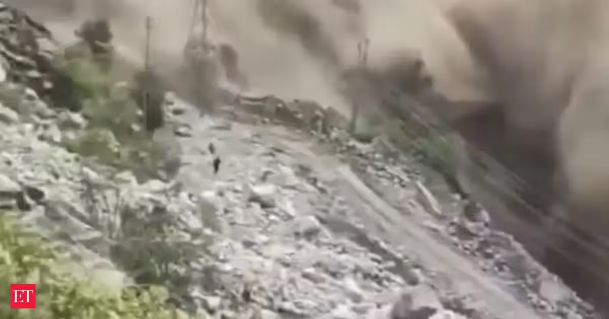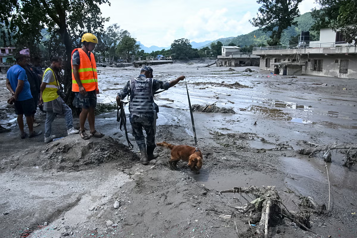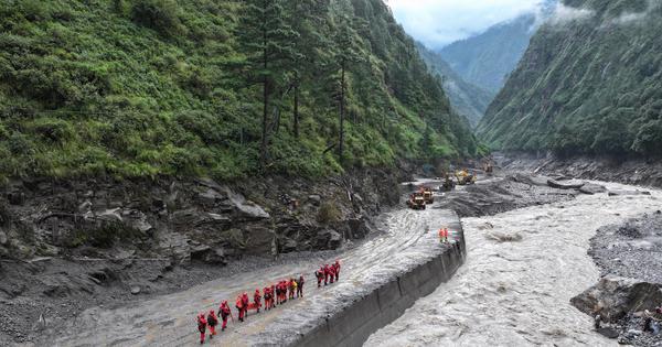
On Wednesday morning, I woke up to a message from a disaster authority about tremors that were felt in Shimla and Chamba at around 5 am. Just a few hours later, the United States’ earthquake hazards programme reported another earthquake of 4.4 magnitude in Nepal. I went about my day thinking that these were usual Himalayan tectonic activities. But soon, videos of a mammoth wave of water, silt and debris crashing down Nepal’s Bothe Koshi river near the Nepal-Tibet border overtook my X feed. More than 1,500 people are currently missing.By evening, preliminary studies pointed towards some potential causes – a large volume of ice and rock debris from a glacier may have fallen into the tributary of the river, generating a sudden surge downstream. India has seen similar such events – in 2021, Chamoli in Uttarakhand saw massive devastation as a result of an ice and rock avalanche.Experts soon began discussing the possible factors that could have led to such a fall. Some wondered if the earthquake had triggered it. But the US agency instead suggested another conclusion – that the glacial collapse and debris flow may have been so strong that it, in fact, caused the earthquake. Some speculated that the collapse may have been accelerated due to warming, though more evidence will need to establish such a connection.Landsat 9 captured very clear images of the Himalayan glacier that collapsed, triggering the catastrophic flash floods in Nepal.Estimating very roughly from these images, it appears that the area that failed may have spanned ~1 km² of ice and rock.h/t @theiaincameron pic.twitter.com/L48gqGPTV8— Dr. Robert Rohde (@RARohde) August 27, 2026
Nepal: Warming may have induced glacial floods, but the damage downstream is manmade
Glacial lake outburst floods are now increasingly common across the Himalayas.
1,422 words~6 min read