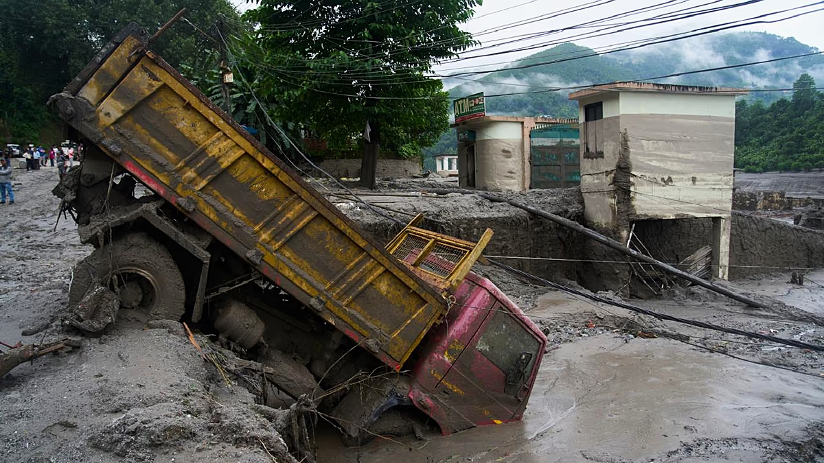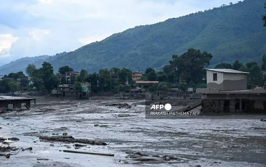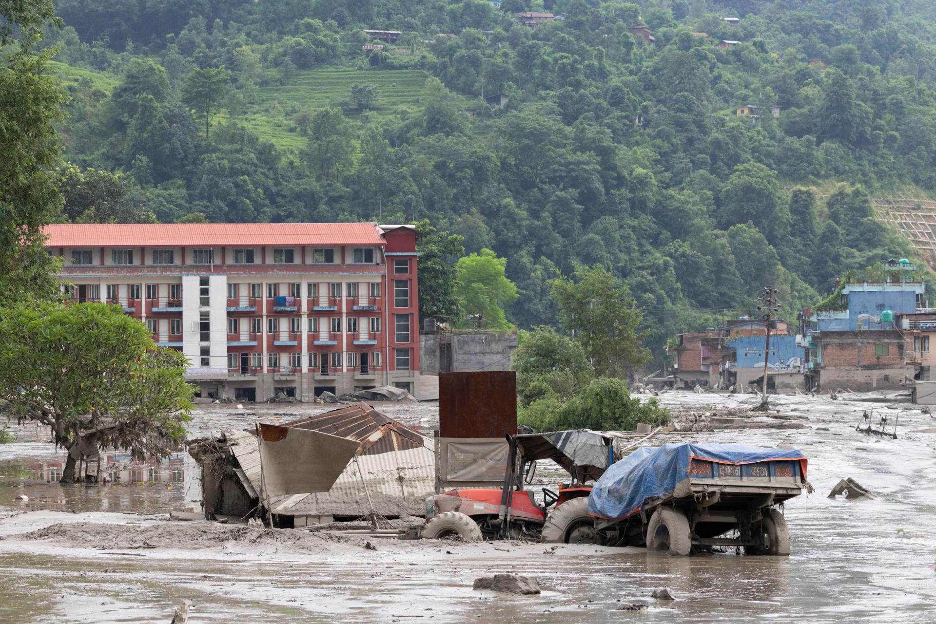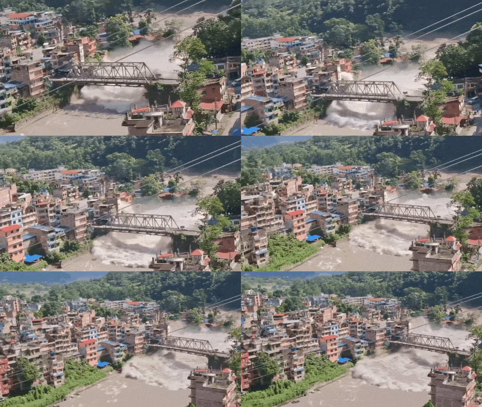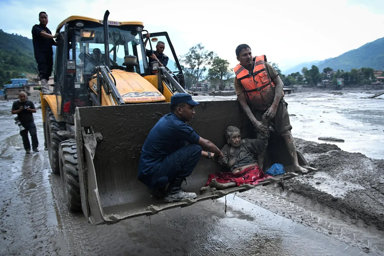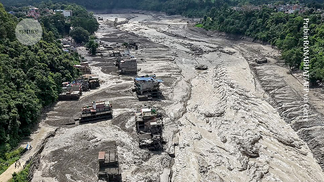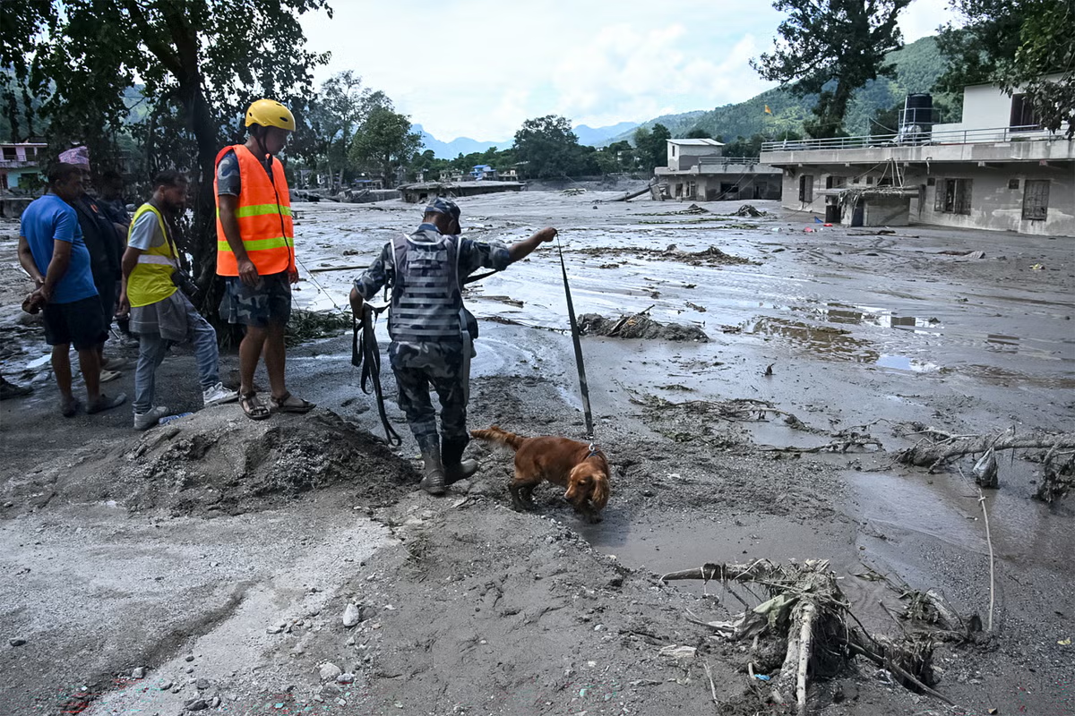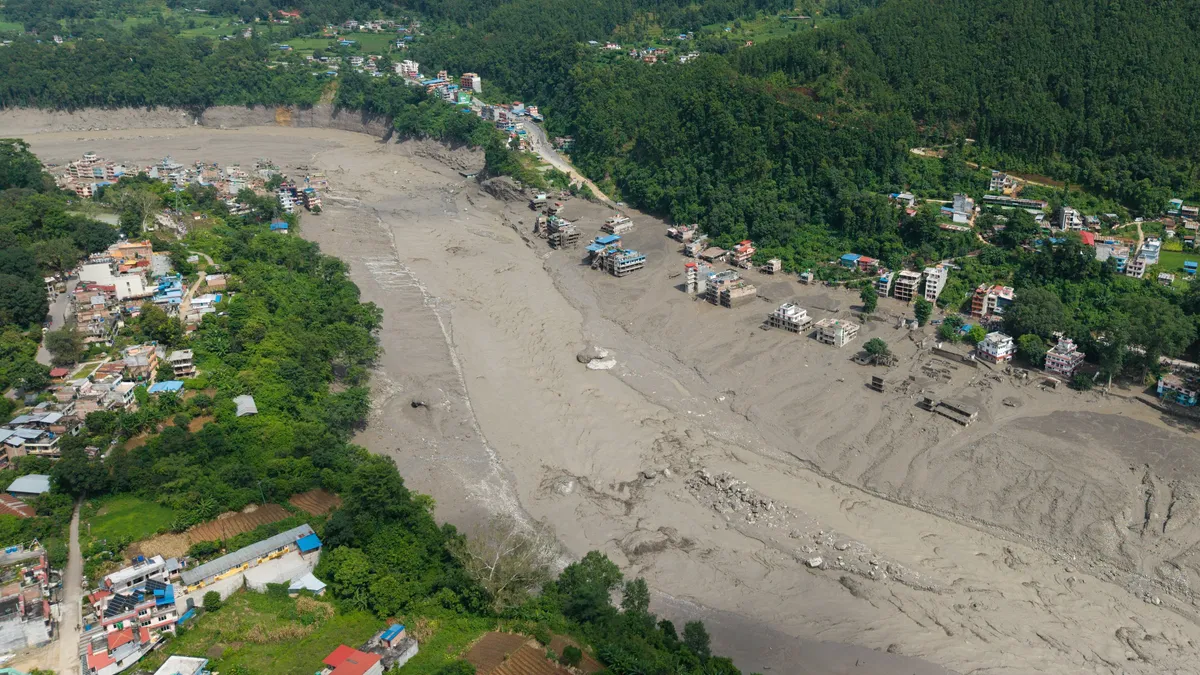
Scientists don't yet know exactly what triggered the Nepal flood, but they suspect a glacier collapse and suggest climate change also played a role.The volume and speed of the wall of mud, boulders and debris that rushed more than 60 miles down a river through Nepal on Aug. 26 shocked even experienced researchers who study mountains, glaciers and waterways in the Himalayas."The force of this thing is just almost incomprehensible," said Alton Byers, a faculty research scientist at the Institute of Arctic and Alpine Research at the University of Colorado at Boulder. It's "one of the largest events" of its kind that he's seen in some 30 years of research, Byers told USA TODAY.Communities were devastated, nearly 1,500 are missing, and at least 165 have been reported dead, Reuters reported. According to authorities, among the missing are at least 800 foreigners, including dozens of Americans.The working theory is that a glacial collapse was the source of the debris flow that washed away buildings, cars and people with incredible speed and force, scientists told USA TODAY.While some scientists said it's too soon to definitively link the event to the region's warming climate, Byers noted that flood events of various origins are being seen with "increasing frequency and magnitude" as the Himalayas – Sanskrit for abode of snow – and other high mountain regions warm faster than most of the world.What caused the Nepal flooding?Exactly what triggered the collapse and the full set of cascading events that led to the flooding remains uncertain. "There's some really good ideas about what may have happened, but we won't know the exact series of events that led to this flood for days, possibly weeks," Byers said.It appears a massive ice and rock debris flow plummeted down from a high altitude, near the point where the Bhote Koshi river flows into Nepal, north of Kathmandu. The preliminary details are laid out in a rapid assessment provided to the government of Nepal, written by Jeffrey Kargel with the Tucson, Arizona-based Planetary Science Institute, in collaboration with an international group of scientists.It's believed there were two sources of initial materials, both near the Langtang Lirung peak in the Nepalese Himalayas near the border with Tibet, one a rock source very near the peak and the other glacier ice and snow a few kilometers to the east, Kargel wrote. "There may have been extensive failure all along the area in between."Scientists are drawing the conclusions based on satellite images of the peak and a seismic event in the vicinity at 8:37 a.m. local time. Originally recorded as an earthquake, the seismic event was a 5.2 magnitude landslide, a glacial collapse and debris flow, the U.S. Geological Survey reported.Rapid flow of cement-like slurry swept downriverThat failure sent a huge volume of rock and ice – an estimated 13 million cubic yards to 10 times that or more – hurtling down the mountain with speeds that may have exceeded 186 miles per hour at times, Kargel wrote. That's the equivalent of at least 500,000 large dump truck loads full of rock and ice at a minimum, and it would have swept up even more rock, debris and water as it surged down the mountain and along the river.Given the available information, the most likely mechanism for the flooding is a glacier collapse, said Dan McGrath, an associate professor in the geosciences department at Colorado State University. The ice would have melted during its cascade downward, "providing the source water for the flood."Glacial flow is "a hyper-concentrated slurry" like cement, moving with unbelievable, destructive force, unleashing boulders "as big as houses," Byers said.Water levels in the Bhote Koshi basin started rising rapidly around 9 a.m., according to a news release from the International Centre for Integrated Mountain Development. Further downstream, levels on the Trishuli River at one point reportedly rose by more than 27 feet in 30 minutes, according to the International Centre's news release.How will scientists determine what happened in the Nepal flooding?Scientists in several countries immediately started gathering satellite images for analysis, Byers said. The amount of video across social media is "quite unusual," and will help to document the sequence of events, he said.They'll also need boots on the ground and in the air, via helicopter reconnaissance. Based on his own experience with previous flood investigations in the Himalayas, Byers said researchers will need to obtain permission from China to go upriver into Tibet, and they'll need to visit and talk with local communities about what happened. "Then you weave all that together and you come up with a pretty good idea of what happened," he said.Climate change happening faster than envisionedWhile acknowledging that climate change is altering glaciers, snow conditions, permafrost and mountain slopes in the region, the International Centre said it's "too early to determine what role climate change played in this specific event."Researchers have linked previous flooding events in the region to the effects of warming on glacier loss and glacial lakes, including two catastrophic floods in the past two years, one in August 2024 in Nepal's Everest region and another in Tibet on July 8, 2025.Byers suggested the massive debris and ice landslide could be linked to the melting of permafrost at the highest elevations, "like taking a stick of butter out of the fridge and putting it on the counter."Scientists have warned for years that permafrost is melting in the Arctic and high mountain regions of the world, with cascading impacts. "It's happening much faster than we had envisioned early on," Byers said.After researchers published a study of a 1,578-foot tsunami and landslide in August 2025 in Southeast Alaska, the University of Alaska Fairbanks wrote that the likelihood of similar large-scale events has "increased substantially across the North as glaciers retreat and permafrost degrades."A recent international study presented evidence that "permafrost is thawing across much of the planet." The research, published in the journal "Nature Communications Earth & Environment," used more than two decades of research from the Arctic, Antarctic and high mountain regions. Permafrost, a layer of ground made up of soil, rock and sediment, underlies nearly 15% of the land surface in the Northern Hemisphere.It's been 17 years since Byers was surveying glacial lakes in the Himalayas and ran into a television crew just after crossing over an 18,000-foot pass. Asked about climate change and the region's lakes, he recalls telling them, "This is serious."He reflected on that experience Wednesday as he watched the horrific flooding."We didn't know how serious (the warming) was going to be," he said. "What we've seen since then, in the last 17 years, is an acceleration of the frequency and magnitude of these events that really has taken us by surprise."The U.S. Embassy urges concerned U.S. citizens seeking information about family members in Nepal to call 1-888-407-4747 toll-free from the United States and Canada, or 1-202-501-4444 from other locations.Dinah Voyles Pulver, a national correspondent for USA TODAY, writes about climate change, violent weather and other news. Reach her at dpulver@usatoday.com.
Glacier collapse may have triggered 'almost incomprehensible' Nepal flood
Scientists don't yet know exactly what triggered the Nepal flood, but they suspect a glacier collapse and suggest climate change also played a role.
1,166 words~5 min read