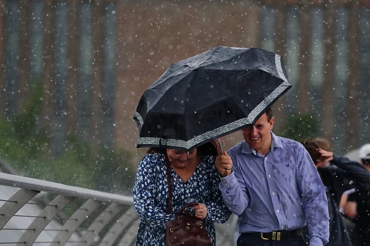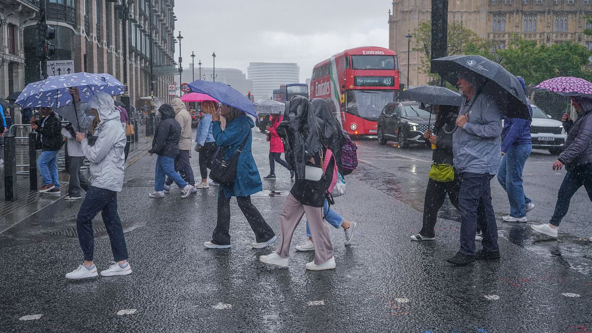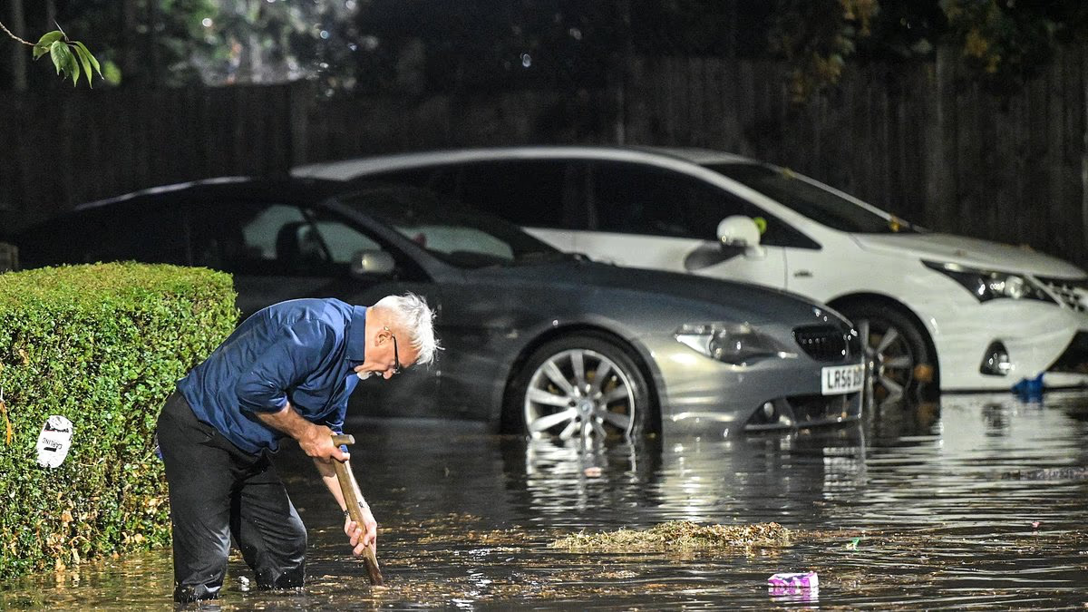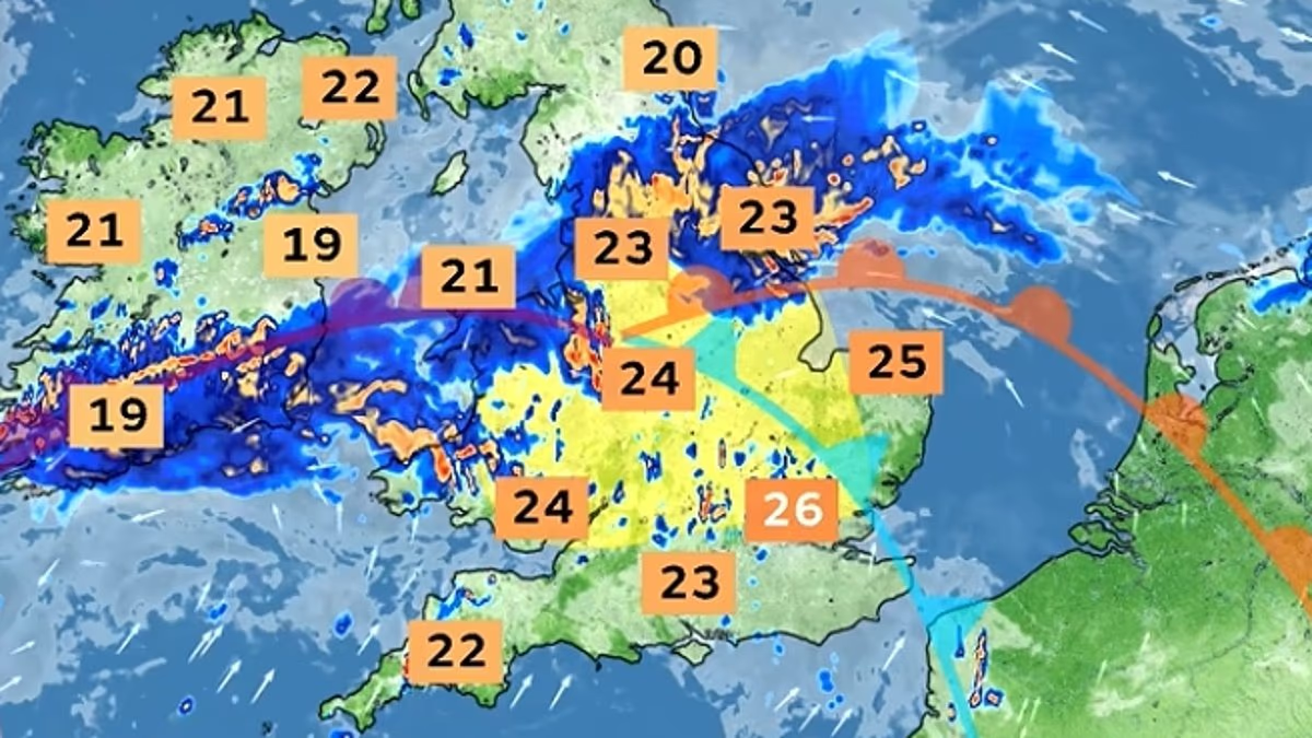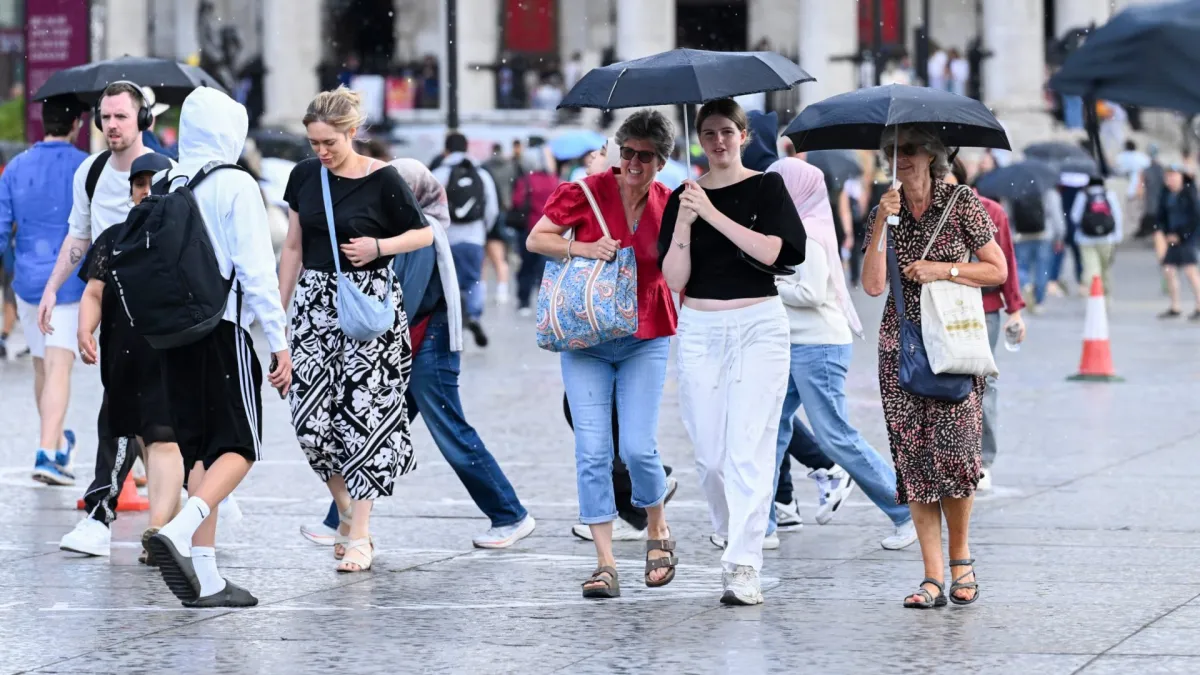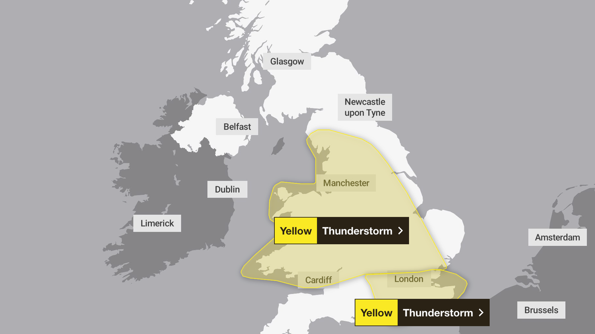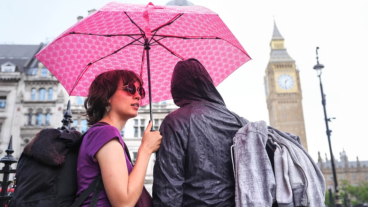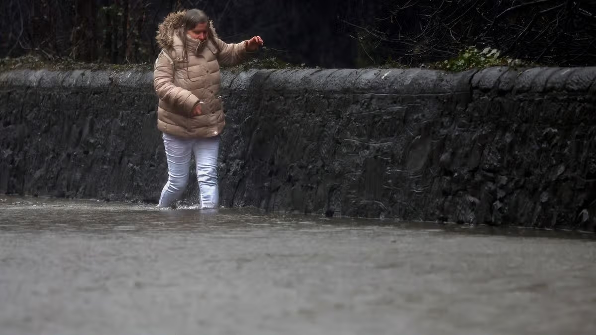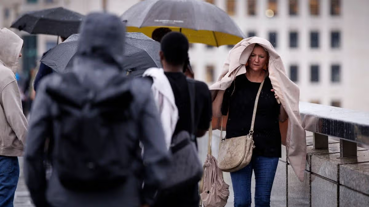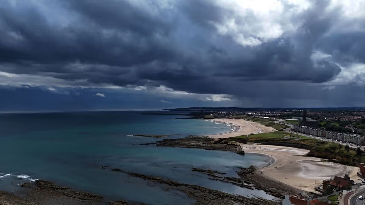
Parts of the West Midlands have been hit by flooding, while Wales and large parts of England are bracing for thunderstorms.Two yellow thunderstorm warnings have been issued for Thursday. The first covers London and the South East until 8am, while the second covers Wales and large parts of England from 5am through to 10pm.Emergency services reported “significant flooding” in Birmingham following a warning for the Perry Barr district on Wednesday night, brought on by swelling river levels.Emergency crews have been attending incidents concentrated around Curbar Road, Thornbridge Avenue and Haddon Road. In a message posted on X, the fire service said: “Crews are being supported by West Midlands Police and Birmingham City Council. Please avoid the area, where possible.”Birmingham City Council told the public to “take care and avoid walking, cycling or driving through flood water”.People shelter under umbrellas from the rain in Whitehall, central London (PA)The Environment Agency has issued 22 flood alerts across the Midlands and South East, signalling that flooding is possible. According to the Met Office, some locations could see 50-75mm of rainfall alongside lightning and hail, which may trigger disruption despite warm conditions reaching highs of 27 or 28C.The South East warning area could see 30-40mm of rainfall and “fairly large hail between 1-2cm”, while the bigger warning area could have more than 75mm of rain through 12 hours in parts, Met Office forecaster Craig Snell said.Temperatures will drop closer to average for the time of the year over the weekend, with highs of 24 or 25C on Friday, then 22 or 23C until Monday.Most of England and all of Wales are currently affected by droughtMr Snell said of Thursday: “We’re watching the risk of some heavy rain and thunderstorms moving up from the south.“On Thursday as we wake up there will be a band of potentially heavy rain and thundery rain stretching across parts of the UK.“For parts of the Midlands and Wales it’s going to be quite a wet day really.“We could see some further thunderstorms move into the south east around Thursday evening.”Friday will see further heavy rain and thunderstorms across the UK, before further rain moves in on Saturday, and a mix of sunshine and showers on Sunday and Monday.Mr Snell said: “To sum up the bank holiday weekend, it’s going to be pretty unsettled, there will be some sunny moments in between if you can dodge the downpours.“It’s not going to be a complete washout, if you’ve got outdoor plans over the weekend, keep a close eye as there will be rain moving in across most parts.”It follows hot weather across the UK which coincided with extremely dry conditions, with drought being declared in nearly three-quarters of England and the whole of Wales.The Met Office has previously said the UK is on course for its hottest summer on record after five heatwaves swept the country, with temperatures of up to 38.1C recorded in London.
UK braces for thunderstorms as Birmingham hit by ‘significant flooding’
Wales and large parts of England are under thunderstorm warnings
484 words~2 min read