The appeal of hyperspectral satellites has long been apparent.
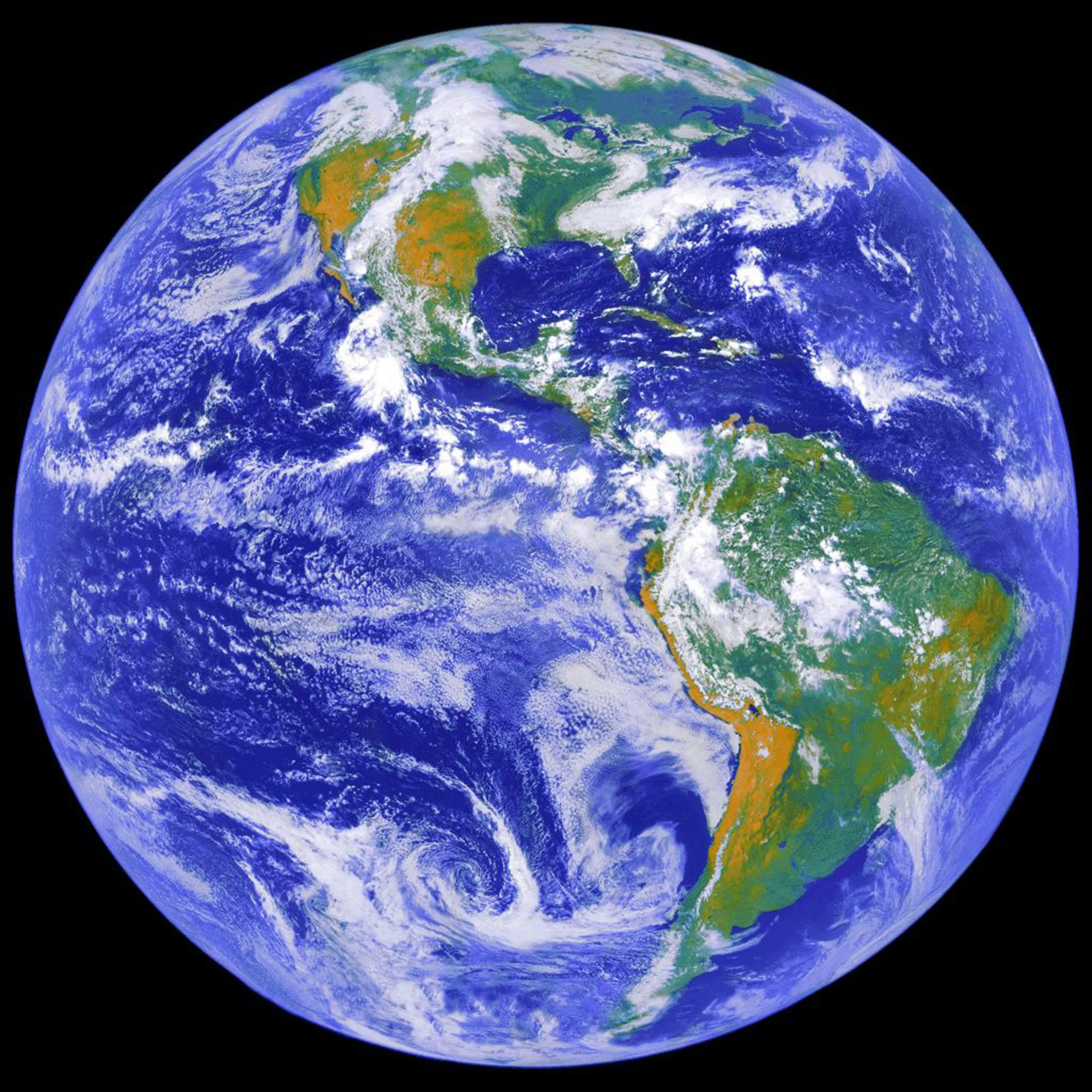
By measuring the intensity of light in each pixel in hundreds of narrow wavelength bands, hyperspectral sensors allow users to see methane emissions in the atmosphere, fertilization in the soil and determine whether they’re looking at camouflage or canopy.
It’s a way to “decode the Earth at a chemical level,” said Shoaib Iqbal, CEO and co-founder of Australian hyperspectral startup Esper Satellite Imagery.
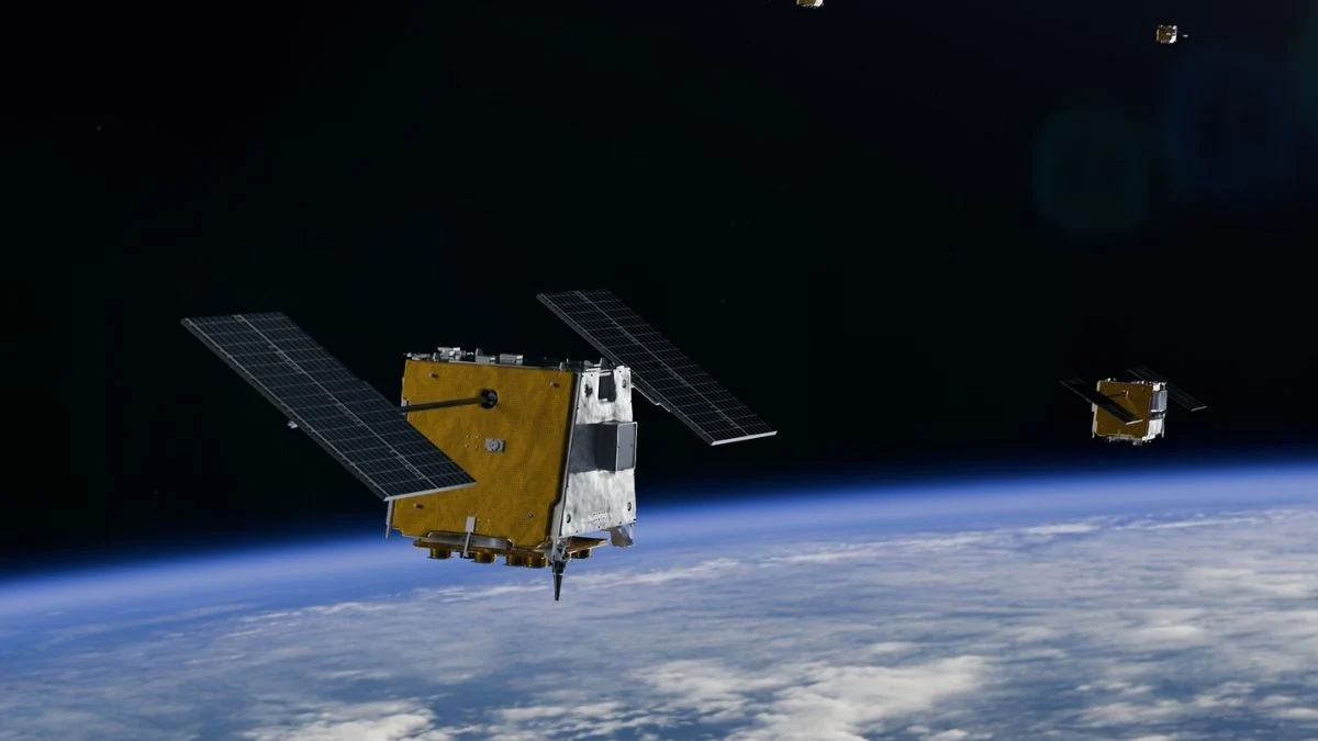
Constellations of small satellites have promised global insights that are impossible to obtain with airborne hyperspectral sensors and revisit rates that improve on government hyperspectral missions that often cost hundreds of millions of dollars.
But for more than a decade companies have grappled with the complexity of calibrating hyperspectral sensors and turning the raw data into information customers value.