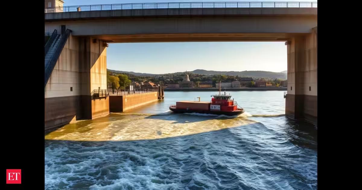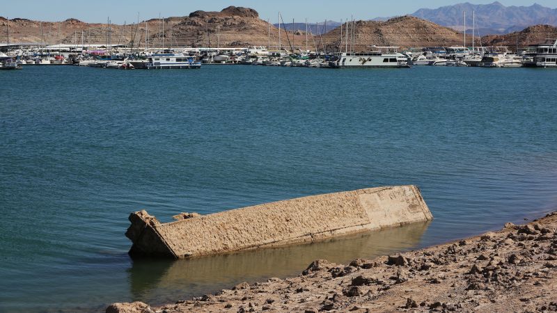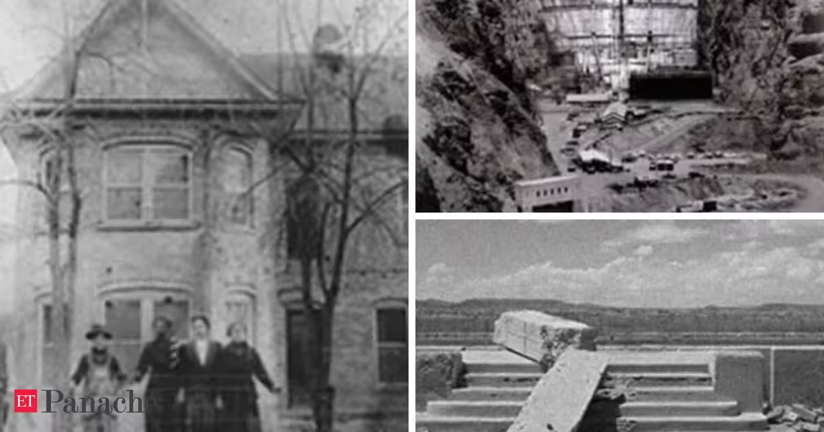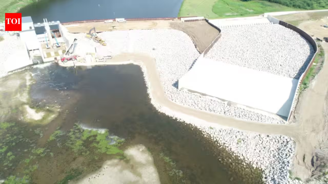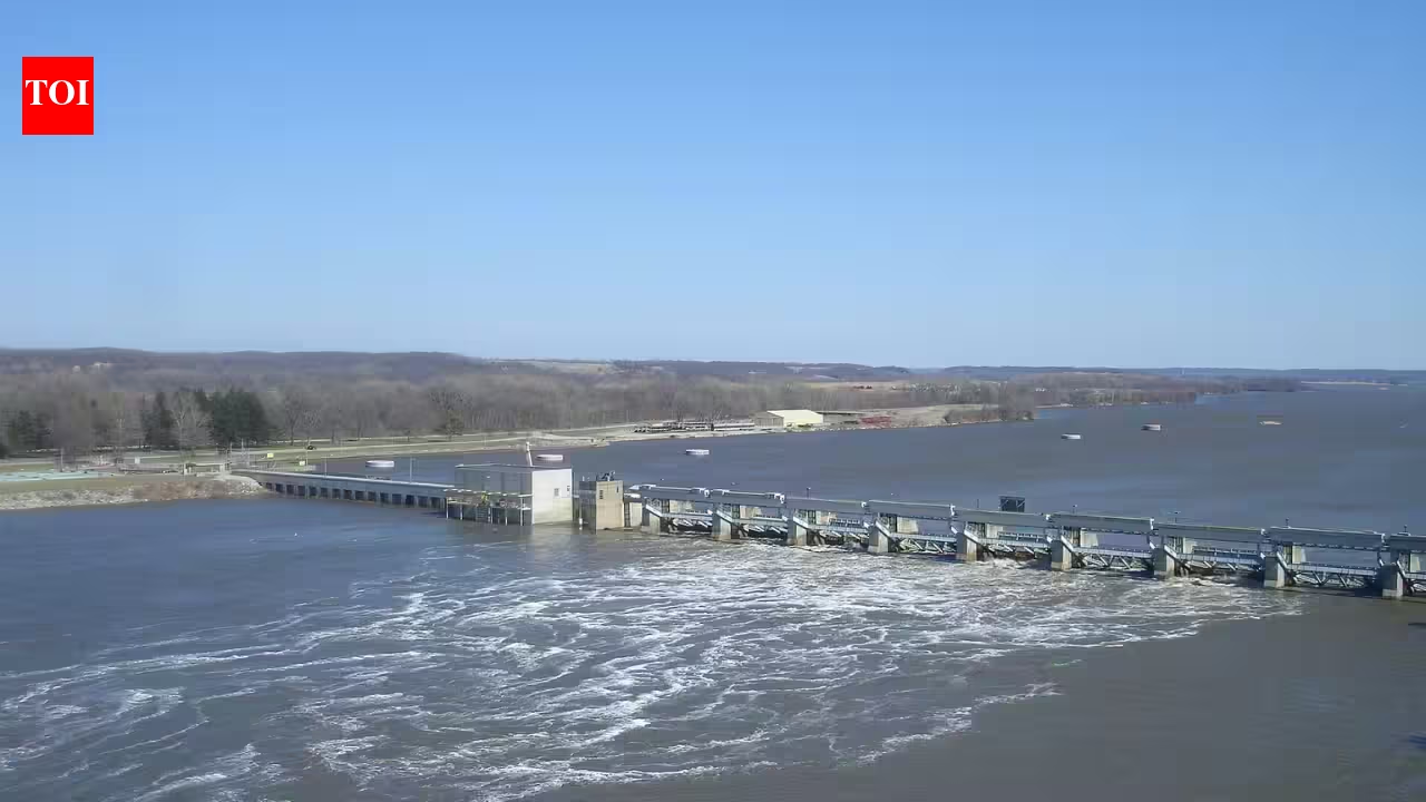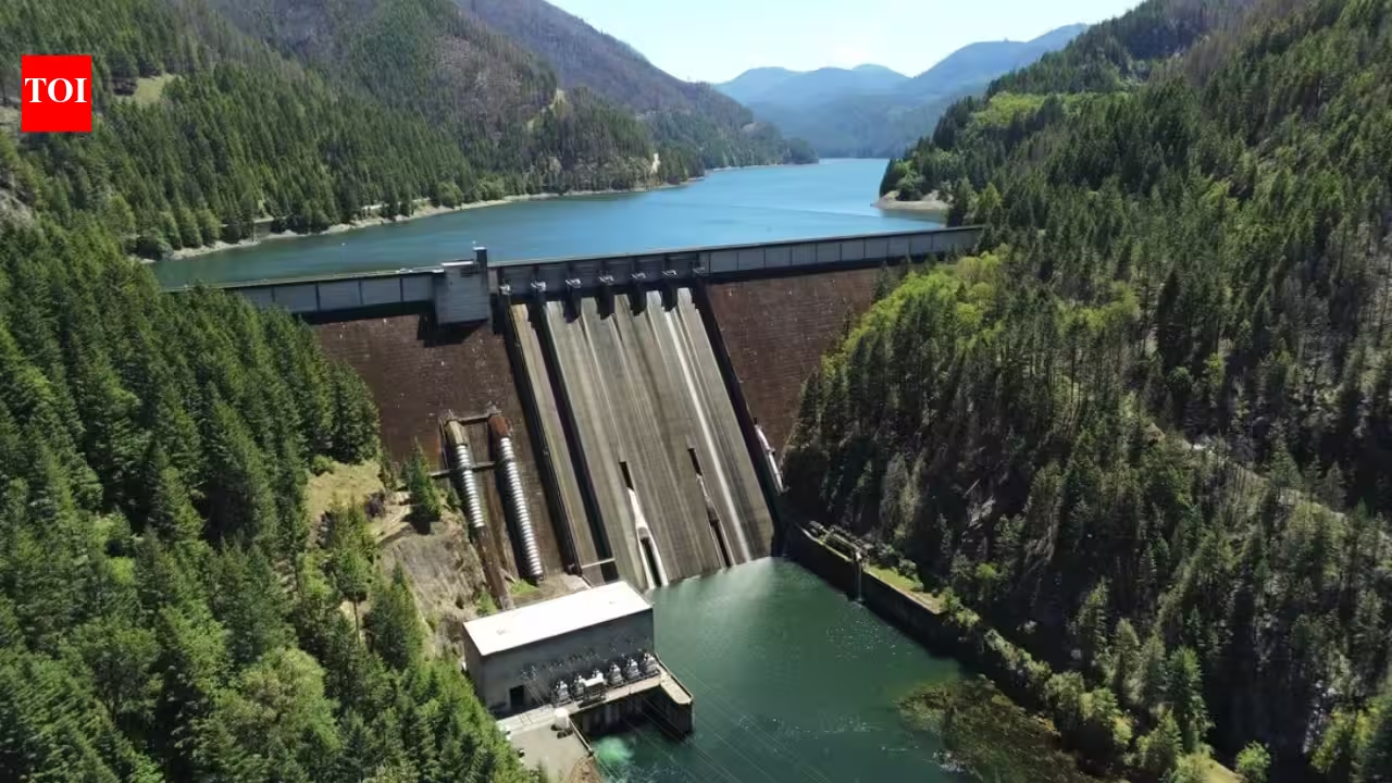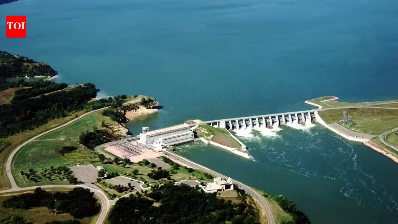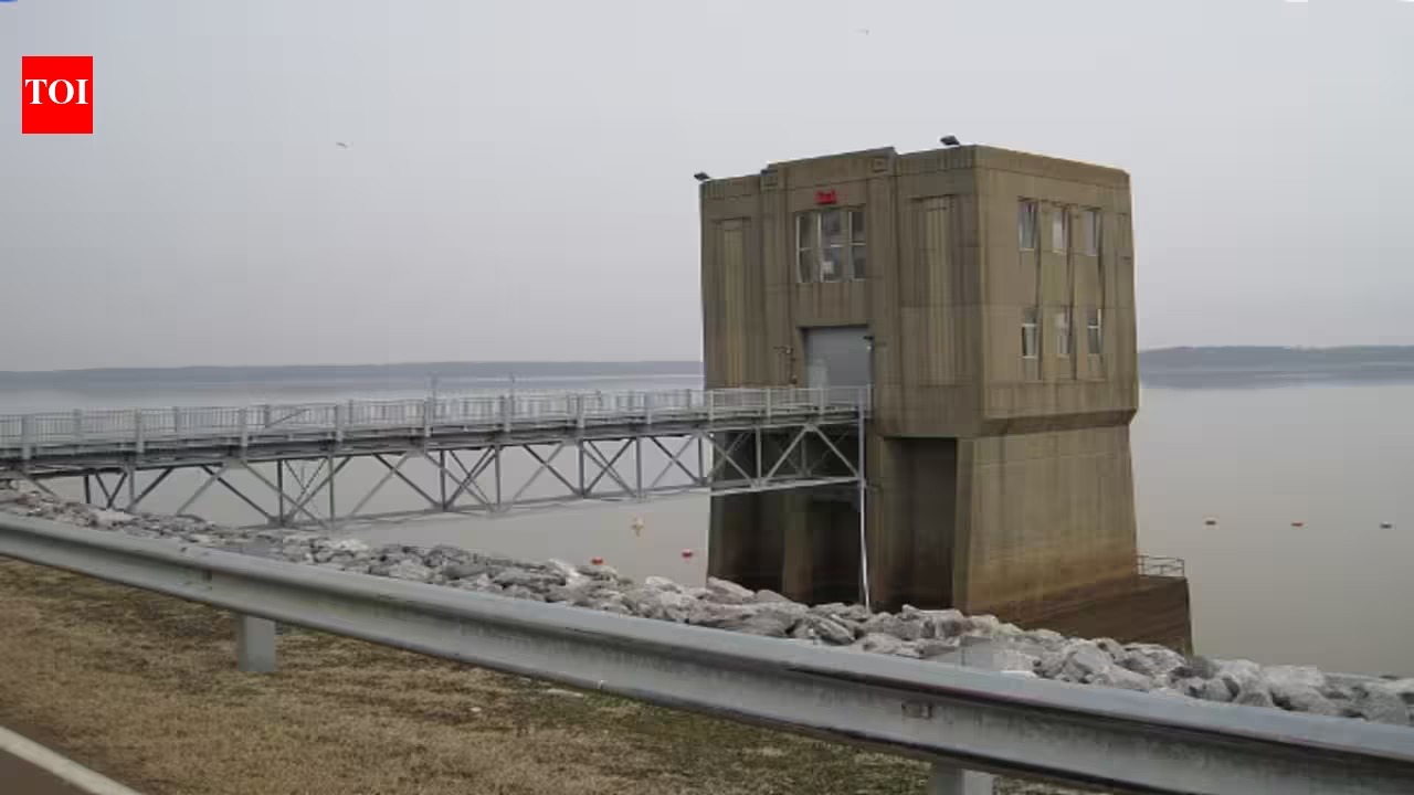
Arkabutla Lake and Dam in DeSoto. Image credits: Wikimedia CommonsBeneath Arkabutla Lake in northern Mississippi lies the original site of a town that no longer exists there. In 1942, the federal government moved the entire town of Coldwater roughly one mile south to make way for the Arkabutla reservoir, part of a 1936 flood‑control project whose dam was completed in 1943 after the Great Mississippi Flood of 1927, as documented by the U.S. Army Corps of Engineers Vicksburg District. Eighty-four years later, the lake that swallowed the old townsite has become a center for fishing, hunting, and habitat conservation.How the 1927 flood led to Arkabutla LakeThe story begins with the Great Mississippi Flood of 1927, the nation’s most destructive river flood, whose aftermath led to the 1936 Yazoo Headwater Project and the relocation of Coldwater for Arkabutla Lake, according to the U.S. Army Corps of Engineers Vicksburg District. When the Arkansas and Mississippi rivers broke their levees, the resulting flooding across Arkansas, Mississippi, and Louisiana caused many millions of dollars in property damage, with total economic losses approaching $1 billion in 1927 dollars. This catastrophe led to the Flood Control Act of 1928 and an extensive flood-control program, including what was then the world’s largest levee system.Engineers eventually determined that the Yazoo River watershed contributed heavily to flooding in the Mississippi Delta region. The 1936 Yazoo Headwater Project resulted in the construction of four reservoirs in the state of Mississippi. These were Arkabutla, Sardis, Enid, and Grenada. Arkabutla, the second of the four reservoirs constructed, was built on the Coldwater River and happened to be located in the same place where the town of Coldwater was situated.Relocating the town instead of the damTo accommodate the reservoir, the town of Coldwater and its population of about 700 people were moved one mile south of its initial location for $250,000 for the government, according to the U.S. Army Corps of Engineers Vicksburg District’s history of Arkabutla Lake and the Living New Deal documentation of the Arkabutla Reservoir Project. The earthen dam, which flooded the town, was 11,500 feet long, on average 67 feet tall, and 482 feet wide at its base, according to a U.S. Army Corps of Engineers environmental statement on operation and maintenance of Arkabutla, Enid, Grenada, and Sardis Lakes. A monument commemorating the town is erected at the initial site of the town just west of the Coldwater exit on Interstate 55.The dam was completed in 1943 and was one of four flood-control reservoirs the Corps constructed in northern Mississippi under the Yazoo Backwater project. When completed, the Yazoo Basin flood‑control system, centered on the four headwater reservoirs (Arkabutla, Sardis, Enid, and Grenada) and downstream levees, was designed to provide full flood protection to more than 1.2 million acres and partial protection to roughly 300,000 additional acres in the Mississippi Delta, according to U.S. Army Corps of Engineers histories of the Yazoo Headwater Project and the Mississippi River & Tributaries (MR&T) system. Some of the areas to benefit from this project included Greenwood, Yazoo City, and Belzoni.From flood control to wildlife habitatAlthough flood control is still the most important function of the reservoir, Arkabutla Lake has evolved into a natural habitat. With a project area of 57,250 acres of land and water and more than 2 million visitors annually for boating, fishing, camping, swimming, and hunting, plus roughly 30,000 acres reserved for public hunting of deer, turkey, quail, and waterfowl, Arkabutla Lake is one of the region’s most heavily used recreation reservoirs, according to U.S. Army Corps of Engineers Vicksburg District pages and Recreation.gov descriptions of Arkabutla Lake.Managing a reservoir this size for both recreation and conservation requires balancing competing demands, and that challenge has drawn academic interest. Research led by fisheries scientist Leandro Miranda examined the relationship between angler activity and reservoir water levels at three Mississippi flood-control reservoirs, published in the journal Lake and Reservoir Management under the title Water Levels Shape Fishing Participation in Flood-Control Reservoirs. Fishing activity was found to increase with an increase in water level until an intermediate level, then decrease again with even higher water levels, an outcome that is explained as a consequence of the trade-off between the "fishability" of the waters and the actual catch rate at a particular depth level. This finding may be relevant to bodies of water such as Arkabutla Lake, where the Corps manages water levels according to flood-control rule curves.This result may be relevant to reservoirs such as Arkabutla Lake, where the Corps adjusts water levels in accordance with flood‑control rule curves while also managing a heavily used fishery. However, these researchers noted that such reservoirs are normally controlled on a localized basis, and that considering the whole basin instead of considering the reservoir as an isolated unit can provide useful information that might be ignored otherwise. It may therefore be useful to consider the basin view, since Arkabutla is one of four reservoirs in the Yazoo Basin.On-the-ground conservation workRoutine habitat management in Arkabutla involves some of the same struggles outlined in these studies. The Corps establishes cover crops, like sunflowers, to offset habitat destruction, carries out controlled burns to manage plant life and promote animals such as turkey and quail, and implements disking and strip-disking practices in approximately 360 acres of moist-soil management areas to stimulate growth of vegetation beneficial to waterfowl wintering. Wooden nesting sites such as duck, bluebird, and bat boxes are constructed in collaboration with volunteers and partnering organizations.The site also includes the nearly 4,300-acre Askew Wildlife Management Area, which the Corps purchased as part of the same Yazoo Headwaters project that created the lake in the 1940s. This land is managed through an adaptive management scheme intended to restore bottomland hardwood habitat affected by earlier channelization efforts on the Yalobusha and Tallahatchie rivers.Community-based programs round out the conservation effort. Since 1998, the Adopt-A-Stream program has worked with local schools to collect water-quality data for the Mississippi Department of Environmental Quality. Fish Habitat Day is an annual event that brings together local companies and volunteers to place donated Christmas trees and other structures on the lake bottom to create fish habitat. Every January, volunteers also take part in the Mid-Winter Bald Eagle Survey.Nearly eighty years after the government moved a town to create it, Arkabutla Lake has become more than a reservoir: it is also a functioning laboratory for studying reservoir fisheries. For now, the abandoned town of Coldwater remains beneath the lake, a reminder of the history that shaped Arkabutla.
In 1942, the federal government moved Coldwater for Arkabutla Dam; 84 years later the Mississippi lake is managed for outdoor recreation and conservation
Beneath Arkabutla Lake in northern Mississippi lies the original site of a town that no longer exists there. In 1942, the federal government moved the entire town of Coldwater roughly one mile south to make way for the Arkabutla reservoir, part of a 1936 flood‑control project whose dam was completed in 1943 after the Great Mississippi Flood of 1927, as documented by the U.S.
1,080 words~5 min read