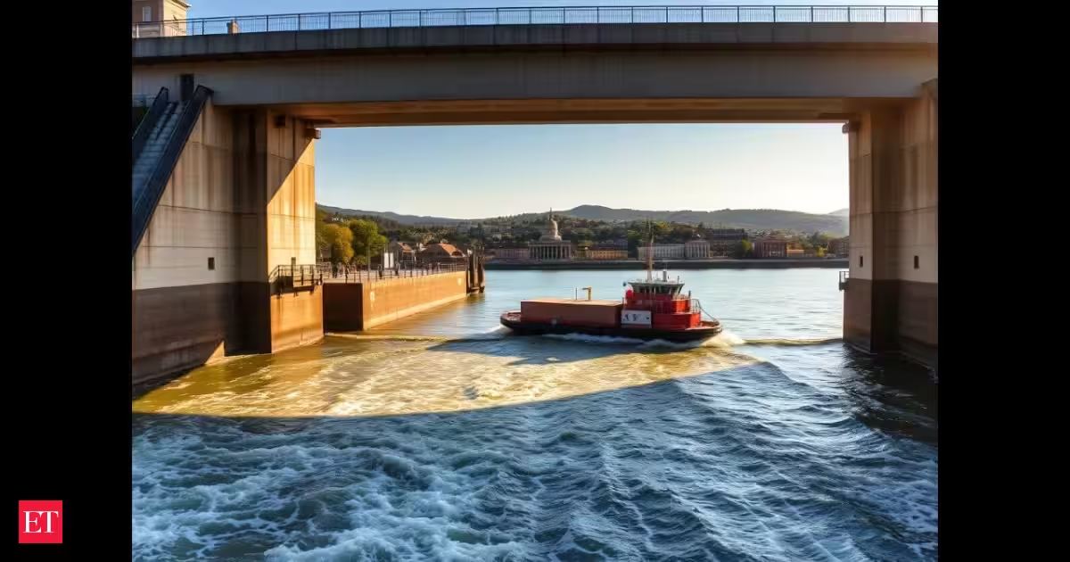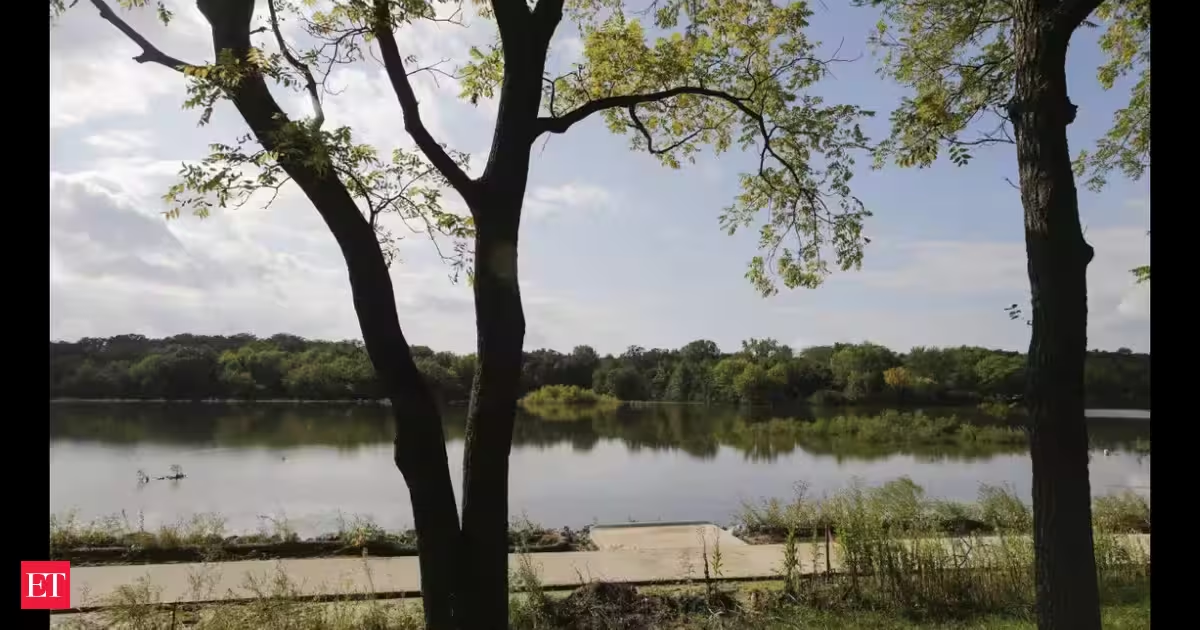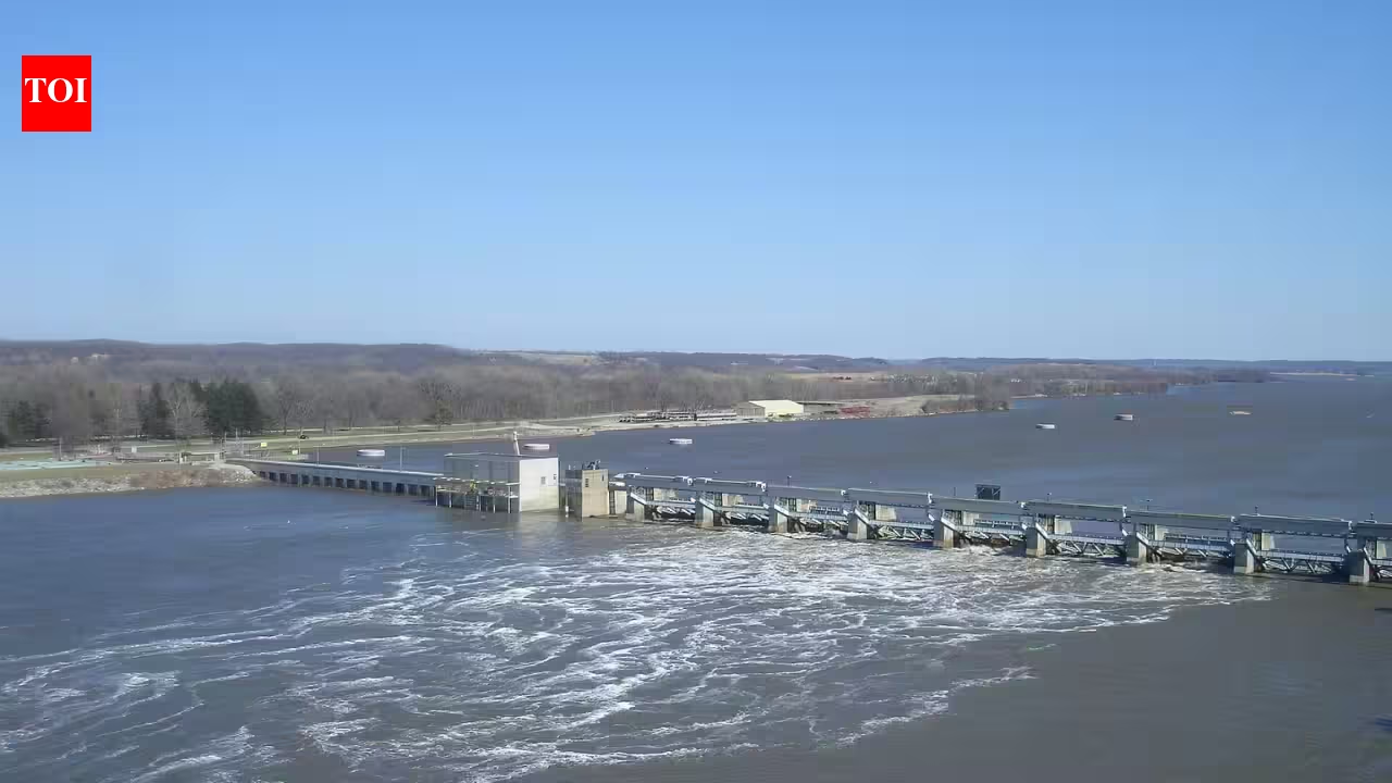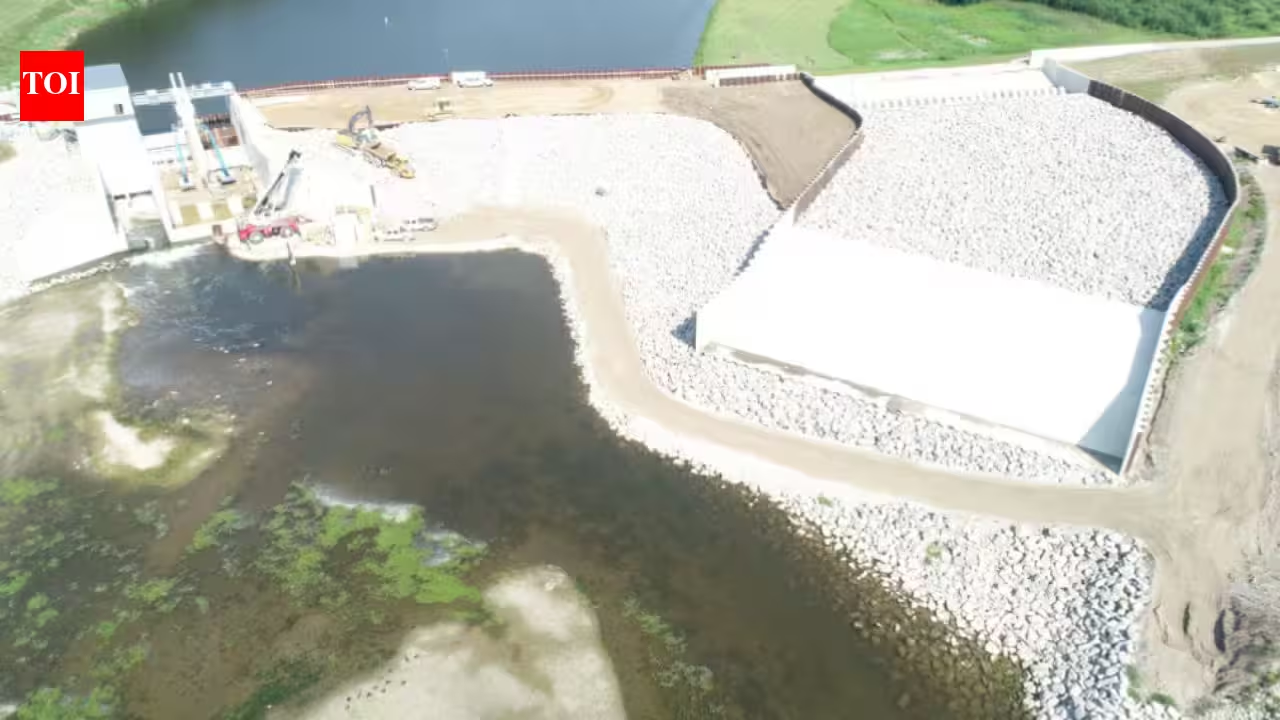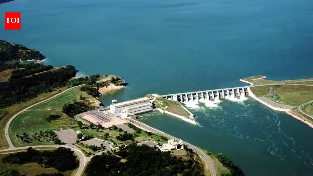
An aerial view of Gavins Point Dam and its powerhouse, with Lewis and Clark Lake stretching out behind the spillway. Credits - Wikipedia In the early hours of July 31, 1955, the US Army Corps of Engineers closed the final gap in Gavins Point Dam near Yankton, South Dakota, and water began backing up to form Lewis and Clark Lake. Official project statistics published by the Corps of Engineers confirm the closure date, along with reservoir filling that began the following month and reached the minimum operating pool by December 22 of that year. More than seven decades later, that same stretch of water now draws over two million visitors a year according to federal recreation data, making it one of the busiest outdoor recreation destinations anywhere in the Upper Great Plains.The dam itself was part of a national response to repeated flooding along the Missouri River basin. According to the US Army Corps of Engineers Omaha District, which continues to manage the site today, Gavins Point was built as part of the Pick Sloan Missouri River Basin Program, a system of six mainstem dams authorized under the Flood Control Act of 1944 following a string of destructive annual floods, including one in 1943 alone that caused an estimated 40 million dollars in property damage. Construction on Gavins Point began in 1952 and continued for roughly five and a half years, with crews moving more than a thousand cubic yards of earth every hour during the final push to close the structure in the summer of 1955.Closing the last mainstem damGavins Point sits at the downstream end of the Missouri River's system of large federal dams and is the final structure water passes through before continuing toward St. Louis and its confluence with the Mississippi. When the closure finally happened on that July morning, workers who had spent years on the project gathered by floodlight to watch the last section sealed, and by mid-morning nearly 7,000 people had turned out to mark the moment. The finished embankment stretches roughly 8,700 feet across the river and stands about 74 feet tall, an earthen and chalk-fill structure built to hold back a reservoir with a total capacity of nearly half a million acre-feet of water.Filling the reservoir behind the new dam created Lewis and Clark Lake, a body of water that eventually stretched around 25 miles upstream and covered more than 31,000 acres, with roughly 90 miles of shoreline split between the Nebraska and South Dakota banks. The powerhouse at the dam began producing electricity in 1956, and the wider project was formally dedicated in August 1957, when the Assistant Secretary of the Army broke a bottle of Missouri River water across the spillway in front of a crowd of about 10,000 people.A working dam that became a recreation destination almost by accidentGavins Point was built for more than flood control. The completed project was designed to combine flood damage reduction with hydropower generation, downstream navigation support, irrigation, fish and wildlife habitat, and recreation, all managed together as a single system by the Corps of Engineers. Federal recreation listings for the area describe Lewis and Clark Lake today as a hub for camping, fishing, hunting, hiking, boating, sailing, swimming, birdwatching and photography, with wintertime visitors adding ice fishing, cross-country skiing and snowmobiling to the list once the lake freezes over.That range of activity has turned the project into a year-round economic driver for surrounding towns. Marinas, boat ramps, campgrounds and trails now line both shores of the lake, managed jointly by the Corps and state park agencies in Nebraska and South Dakota. Anglers regularly pull walleye, sauger, largemouth bass and catfish from waters that barely existed as a lake before 1955.Water rushes through the spillway gates at Gavins Point Dam on the Missouri River, the tailrace churning below as it flows onwards toward the Mississippi. Credits - Wikimedia Commons A dam still doing the same job seven decades onThe Corps continues to track the reservoir much as it always has, even where individual sites are run day to day by state park agencies. Its lake data system lists the full network of campgrounds, marinas and access points spread across both the Nebraska and South Dakota shorelines, from the Lewis and Clark State Recreation Area near the dam itself to smaller sites further upstream along the reservoir.For a project built to curb Missouri River floods, recreation has become as central to its identity as its original engineering mission. Nearly seventy-one years after the gates first closed on that July morning in 1955, the lake they created continues to draw campers, anglers and boaters back to the same chalk bluffs and golden valley that once sat beneath a river prone to flooding almost every spring.
In 1955, the Army Corps closed Gavins Point Dam on the Missouri: 71 years later, Lewis and Clark Lake has grown into a Great Plains recreation hub
In the early hours of July 31, 1955, the US Army Corps of Engineers closed the final gap in Gavins Point Dam near Yankton, South Dakota, and water began backing up to form Lewis and Clark Lake. Official project statistics published by the Corps of Engineers confirm the closure date, along with reservoir filling that began the following month and reached the minimum operating pool by December 22 of that year.
791 words~4 min read