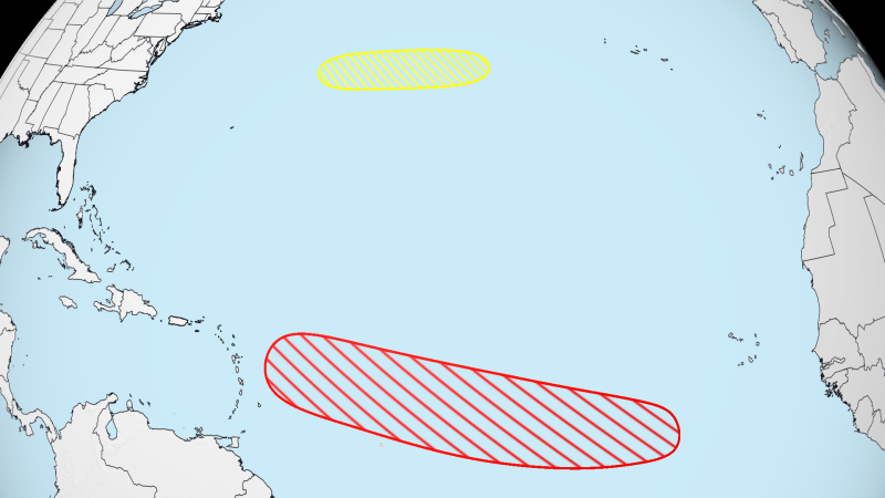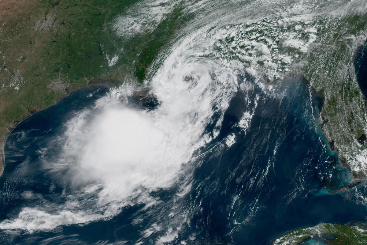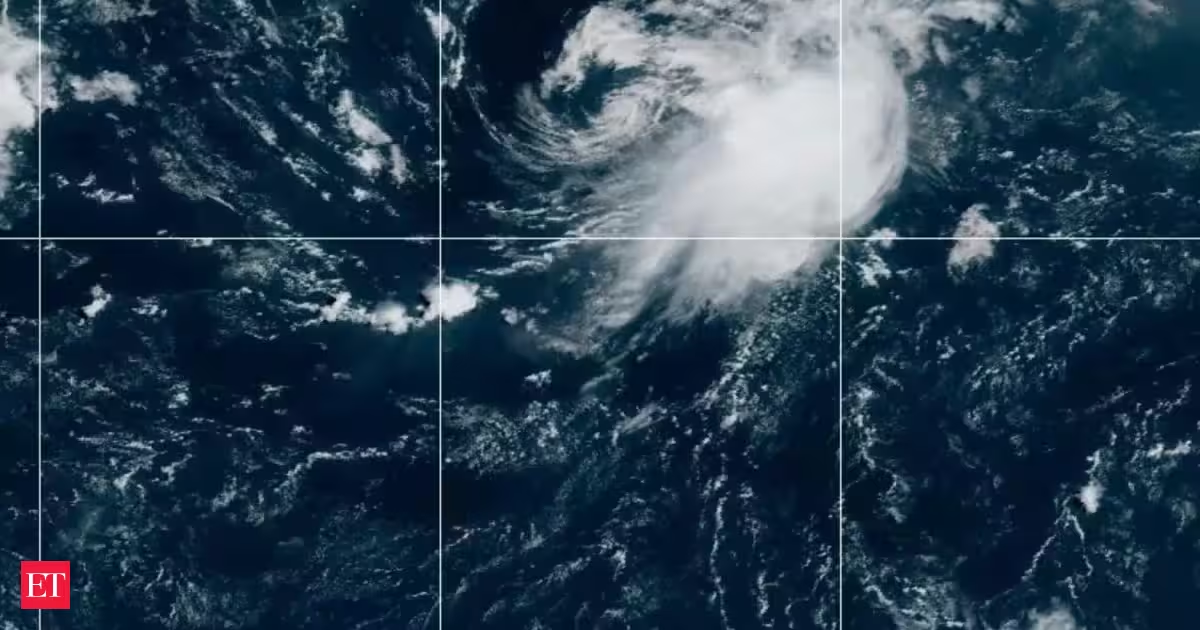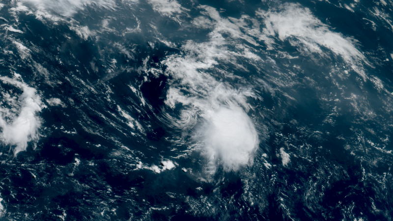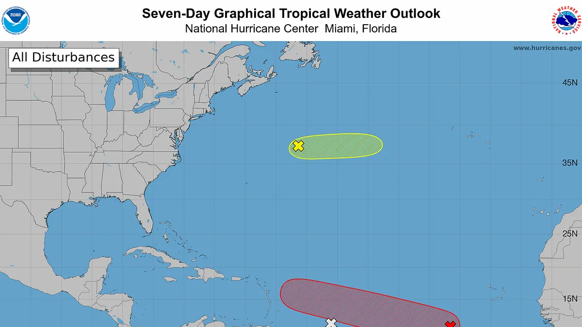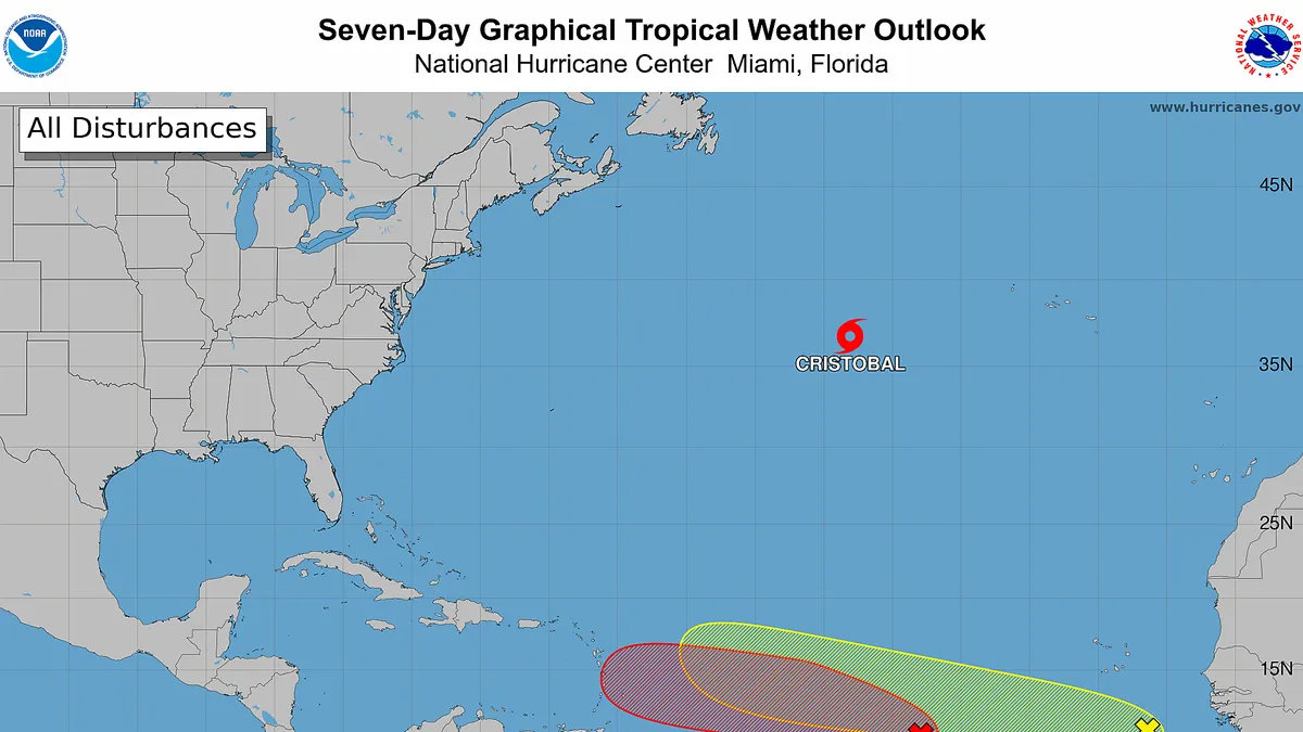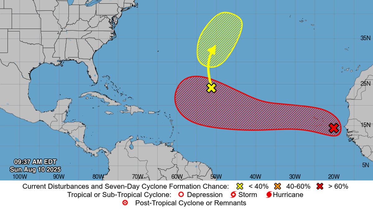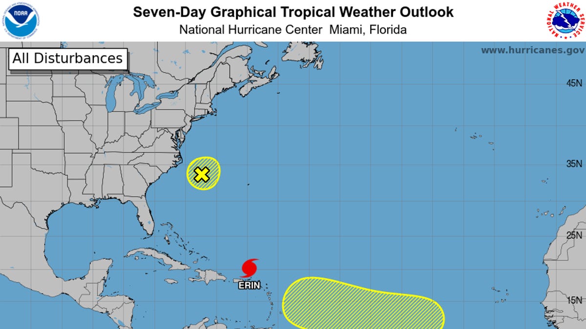
Thanks to a rapidly growing “super” El Niño, Atlantic hurricane activity has been exceptionally quiet this season. Only two tropical storms, Arthur and Bertha, have formed so far, and we have yet to see a single hurricane take shape. There’s a chance that could soon change. The National Hurricane Center is currently monitoring not one, not two, but three areas of potential cyclone formation in the Atlantic Basin. Of the three, “Disturbance 1,” as federal forecasters are currently calling it, has the highest chance of development over the next week at 60%. Fortunately, it’s located far offshore of the United States, a few hundred miles south of the Cabo Verde islands. Disturbances 2 and 3 have a 10% chance of cyclone formation in the next week. Disturbance 2 is located about midway between the coast of West Africa and the Western Antilles, while Disturbance 3 is a few hundred miles northwest of Bermuda.
“The easternmost system [Disturbance 1] could become a tropical depression during the latter portion of the week, though nothing is an immediate land threat,” the NHC stated on Sunday. An awakening Atlantic While the chances of any of these disturbances becoming a tropical cyclone are still relatively low, this sudden burst of activity is a reminder that we are just one month away from the peak of Atlantic hurricane season.