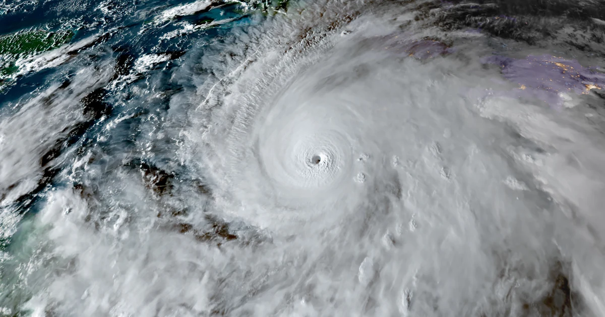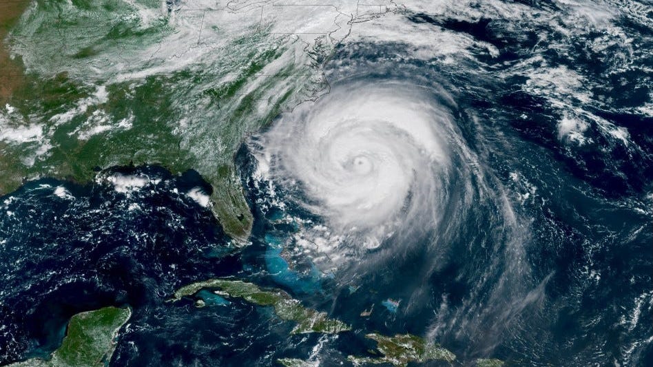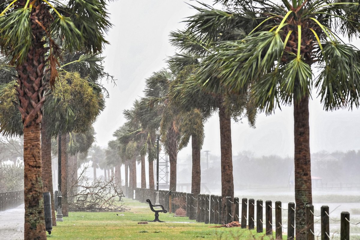
The early-season storms that do form in June can spring up fast and furious close to U.S. shores. So far, there's few signs of any tropical activity.Show Caption
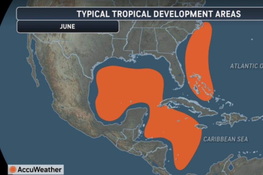
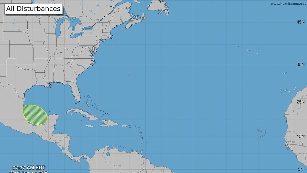
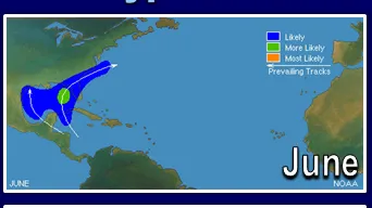
Almost one week into Atlantic hurricane season and forecasters see few signs of any tropical activity yet. But hurricane forecasters say it's worth staying alert.Overall, while June is typically a slow month for hurricane activity, the storms that do form can spring up fast and furious close to U.S. shores.Instead of watching tropical waves cross the entire Atlantic Ocean for a week or more, which often happens later in the season, AccuWeather hurricane expert Alex DaSilva said that early-season storms are usually the result of spin developing off of cold fronts moving south, dips in the jet stream moving over warm ocean water, or clusters of showers and thunderstorms that develop, spin and move north from Central America.Most of these storms usually move toward the northeast Gulf Coast and Carolinas early in the month, and then the western Gulf can be impacted later in the month.The good news: June storms uncommon, often weakAccording to AccuWeather's DaSilva, "June hurricanes are pretty rare. On average, a June hurricane happens around every five years or so, but this can vary."He said the most recent June hurricane to form was Beryl in 2024. And the last June hurricane to hit the U.S. was Bonnie in 1986. This storm made landfall east of Houston, killing five people.Michael Lowry, hurricane specialist with WPLG-TV in Miami, said that only once in the record books has a tropical cyclone formed east of the Caribbean islands in the first few weeks of June (Tropical Depression Two in 2003 that didn’t even survive a full 24 hours), "which means we generally have less time to prepare when early season storms threaten."June is historically the least active month of the six-month hurricane season, according to Lowry. (The hurricane season lasts from June to November.) And even the hurricane-starved month of November has more hurricanes than June, said DaSilva in an e-mail to USA TODAY.In a Substack post, Lowry said that the storms that do form tend to stay on the weaker side — only three Category 3 or stronger hurricanes have ever been recorded in June: Audrey (1957), Alma (1966), and Beryl (2024) — but when tropical storms or the less-common hurricane does form in June, they tend to do so closer to the U.S."And typically, it’s rainfall and flooding — not strong winds — that are the hallmarks of these early bloomers," Lowry said.Why is it hard for hurricanes to form in June?"Hurricanes are hard to form in June because of several reasons," DaSilva explained. "One, the sea-surface temperatures are cooler during this time as compared to the middle of the hurricane season."Wind shear is also usually strong and widespread. The other factor is June usually has a lot of dry dusty air that crosses the Atlantic from Africa. This dry and dusty air can choke out developing tropical storms."European scientists from the Copernicus Atmosphere Monitoring Service earlier this week said that a large plume of Saharan dust had made its way across the ocean, and was impacting islands in the Caribbean Sea with hazy skies and degraded air quality.Here's the catch: Storms can 'happen closer to home'While later-season hurricanes are often tracked for thousands of miles through every stage of development, early-season storms are more likely to spring up right off the coast of the United States."It’s during the opening weeks of the season especially that formations happen closer to home in the western Caribbean, Gulf, and off the southeast U.S.," Lowry said.DaSilva agreed with this assessment, noting that "in June, the most likely areas to have development are closer to the U.S. Usually we look in the Gulf, in the western Caribbean and off the Southeast coast for areas to watch for development."He said that, most of the time, early season development is not associated with tropical waves as we typically see later in the year.What's the forecast for the next couple of weeks in the Atlantic basin?DaSilva said that environmental conditions — such as warm waters and lowering wind shear — are expected to become more favorable for storms to develop during the second week of June."We will have to closely monitor the Gulf around the middle of the month as tropical moisture can stream north from Central America and the Eastern Pacific. If anything develops during the middle of the month, it would likely track toward the northern or northeastern Gulf Coast," he said.Doyle Rice is a national correspondent for USA TODAY, with a focus on weather and climate.