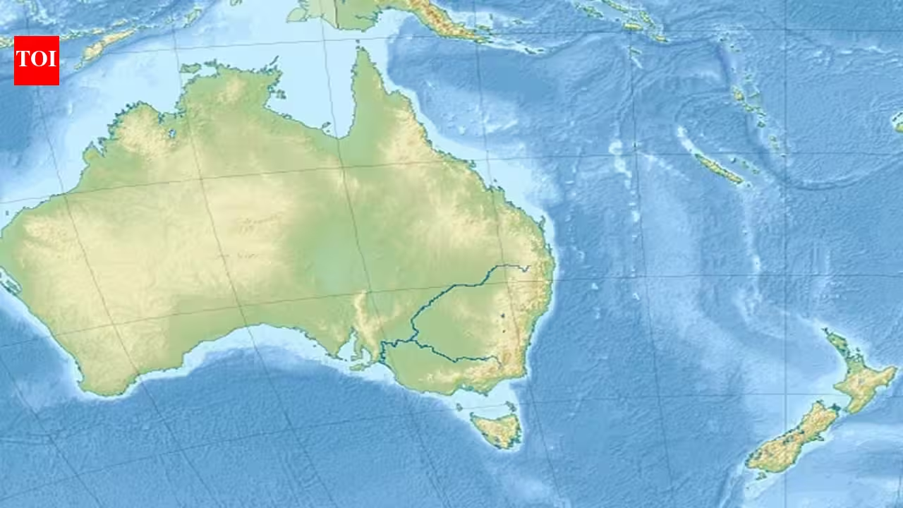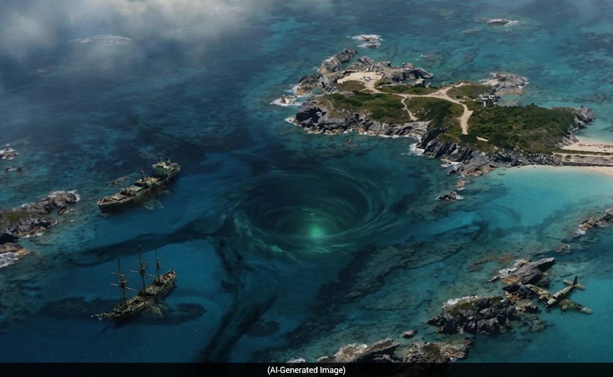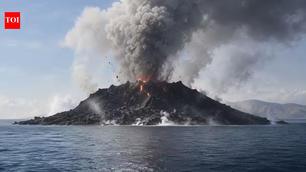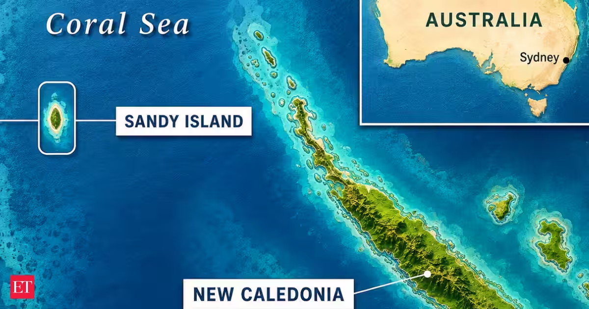
SynopsisFor more than a century, Sandy Island, a phantom island, graced the maps until Australian geologists uncovered open water in its place in 2012. This long-standing error stemmed from a supposed sighting by a 19th-century whaling ship. The confusion may have arisen from floating pumice rafts, pointing how digital mapping inaccuracies can persist.Sandy Island appeared on maps for more than a century despite not existing. Image Credit: ChatGPTFor more than 130 years, a strip of land called Sandy Island sat quietly on world maps between Australia and New Caledonia, in the eastern Coral Sea. It showed up in atlases, on Google Earth, and even in scientific databases used by researchers. Then, in October 2012, a team of Australian geologists sailed to the spot and found only open ocean. According to the official expedition report published in Eos, a journal of the American Geophysical Union, the crew of the research vessel Southern Surveyor grew suspicious when their onboard navigation charts showed deep water in an area where their scientific maps and Google Earth clearly marked a landmass.The paper says the apparent island had already been dropped from French hydrographic charts in 1974, yet it survived in global databases because the same coastline files were reused across systems. During the ECOSAT voyage, the R/V Southern Surveyor sailed 5 kilometers south of the reported position and found a minimum depth of about 1,300 meters, with the track showing differences of up to 2,500 meters from the global bathymetry products.How a 19th-century whaling ship started it allIt all began in 1876, when, according to legend, the whaling vessel Velocity recorded land somewhere in the Coral Sea. By 1908, the report had appeared on a British Admiralty map and was later reprinted on other maps for decades without being checked. All that is required is one false sighting, misinterpreted image, or obsolete survey, and that is all that will be included on the next map.The Coral Sea, where Sandy Island was mistakenly mapped for more than a century. Image Credit: Wikimedia CommonsFrance removed Sandy Island from its official maps in 1974, and Australia followed in 1985 after several searches found nothing. However, the omission of the island did not seem to gain much ground. The island remained included in the World Vector Shoreline Database, a digital dataset created by the U.S. military.The voyage that finally settled itIn October 2012, a University of Sydney team, including geologist Maria Seton, embarked on a 25-day expedition to study the tectonic evolution of the eastern Coral Sea. The island was not part of their planned study, but it lay directly along their route. They noticed that their ship’s navigation charts did not show the island, while reference maps and Google Earth depicted a landmass about 15 miles long and 3 miles wide.The R/V Southern Surveyor sailed straight through Sandy Island's charted location, and found only open ocean. Image Credit: Wikimedia CommonsAs the ship passed the location of the island, the depth reading was almost 4,600 feet. It turned out there was no shallow water, no sandbar, no island, just open sea. The team wrote their findings in "Obituary: Sandy Island (1876–2012)", an article published in Eos, Transactions American Geophysical Union, in April 2013.So where did the island actually come fromIt is not the case that the researchers considered the 1876 sighting an error that came out of nothing. One of the theories presented in their study suggests that floating pumice was the cause. Underwater volcanic eruptions in the area can leave lightweight volcanic rocks floating on the sea surface for extended periods. According to the Eos article, winds and currents in this part of the Pacific Ocean can carry pumice rafts across the coordinates where Sandy Island was marked.Why this still matters for how we trust mapsSandy Island was quickly removed from a number of maps and data sets, including Google Maps and those used by the National Geographic Society, in the aftermath of the 2012 findings. It is safe to infer that the information in a map is not always up to date. However, the real lesson of this story lies elsewhere. It is about how insidious an error can become once it becomes digitized. A dubious 19th-century finding turned out to have influenced a highly accurate, modern satellite-based map over a hundred years later.For those who believe that current maps seem accurate because of their appearance, Sandy Island is a compelling example showing that digital and factual accuracy do not always coincide.( Originally published on Aug 07, 2026 )Read More News onRead More News on
A 15-mile-long island appeared on maps for more than a century. In 2012, scientists "undiscovered" it
In 2012, scientists discovered that Sandy Island, a seemingly real landmass on maps for more than a century, was just open ocean. This article explores the origins of the myth, the expedition that confirmed its non-existence, and the implications for map accuracy today.
758 words~3 min read