HomeAI · summaries
Storia in 2 fonti
A 15-mile-long island appeared on maps for more than a century. In 2012, scientists "undiscovered" it
In 2012, scientists discovered that Sandy Island, a seemingly real landmass on maps for more than a century, was just open ocean. This article explores the origins of the myth, the expedition that confirmed its non-existence, and the implications for map accuracy today.
Confronto fonti
2 prospettive sulla stessa storiaTimeline cronologica
- ·
timesofindia.indiatimes.com
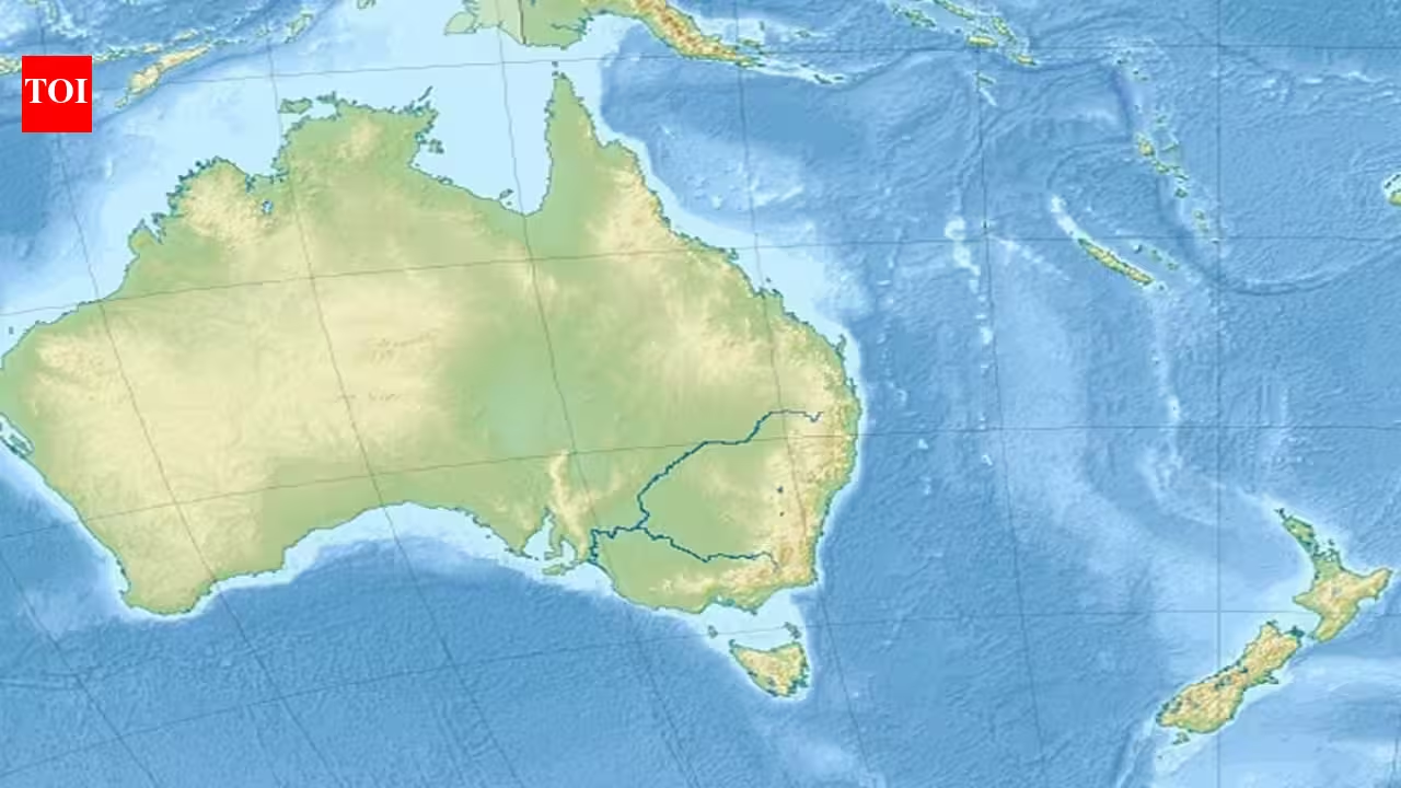
In 1876, sailors reported a 25-kilometre Pacific island; 136 years later, scientists found 1,300 metres of ocean beneath its mapped location
For generations, mapmakers relied on sea captains’ eyewitness reports to draw nautical charts. Dense sea fog, mirages, and other optical effects sometimes led mariners to mistake…
- ·
economictimes.indiatimes.com
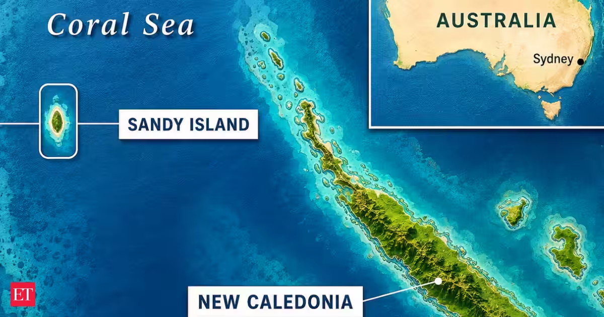
A 15-mile-long island appeared on maps for more than a century. In 2012, scientists "undiscovered" it