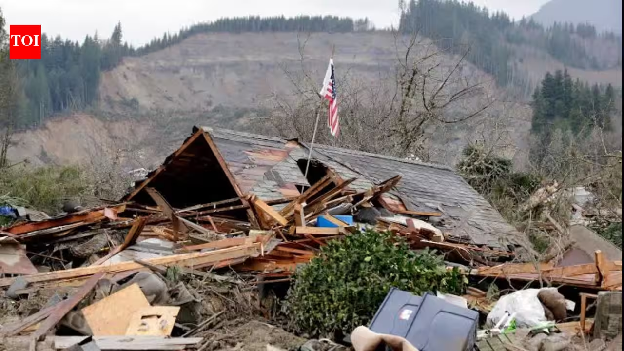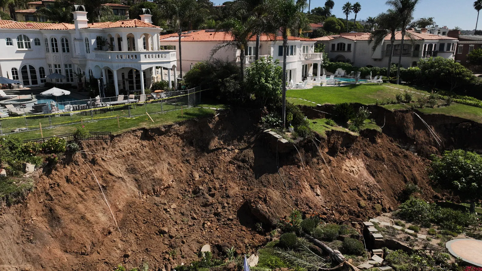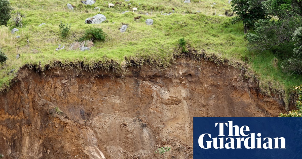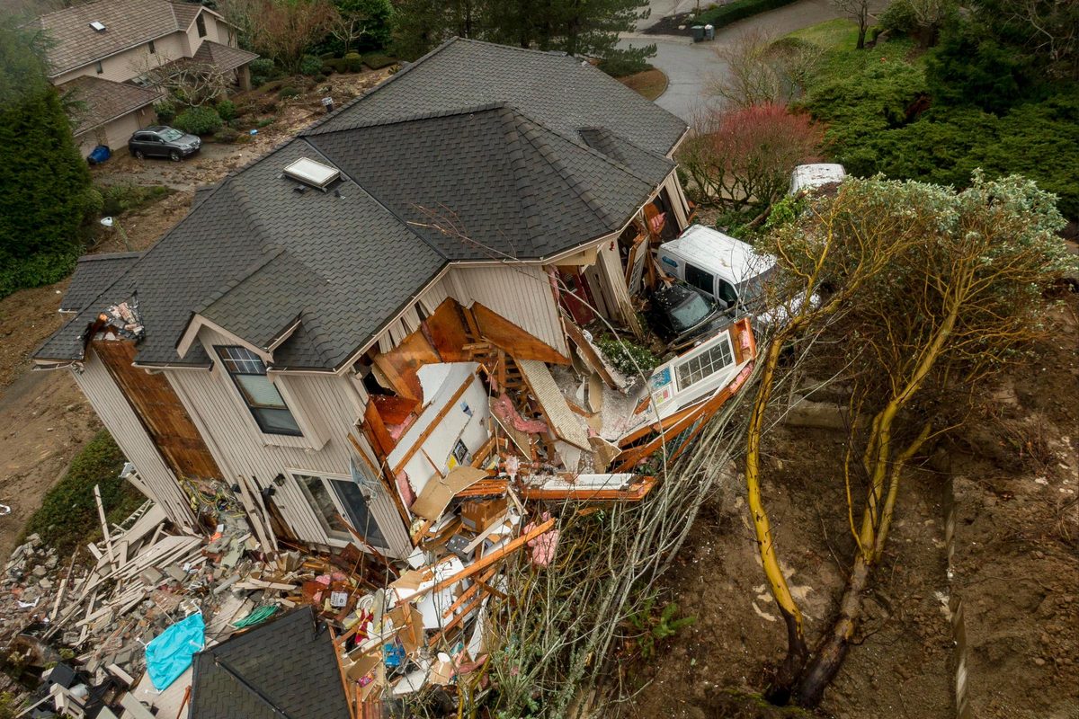
Landslides threaten the lives and homes of 6.5 million Americans living in danger zones, experts warn, and new research reveals where people are most at risk.
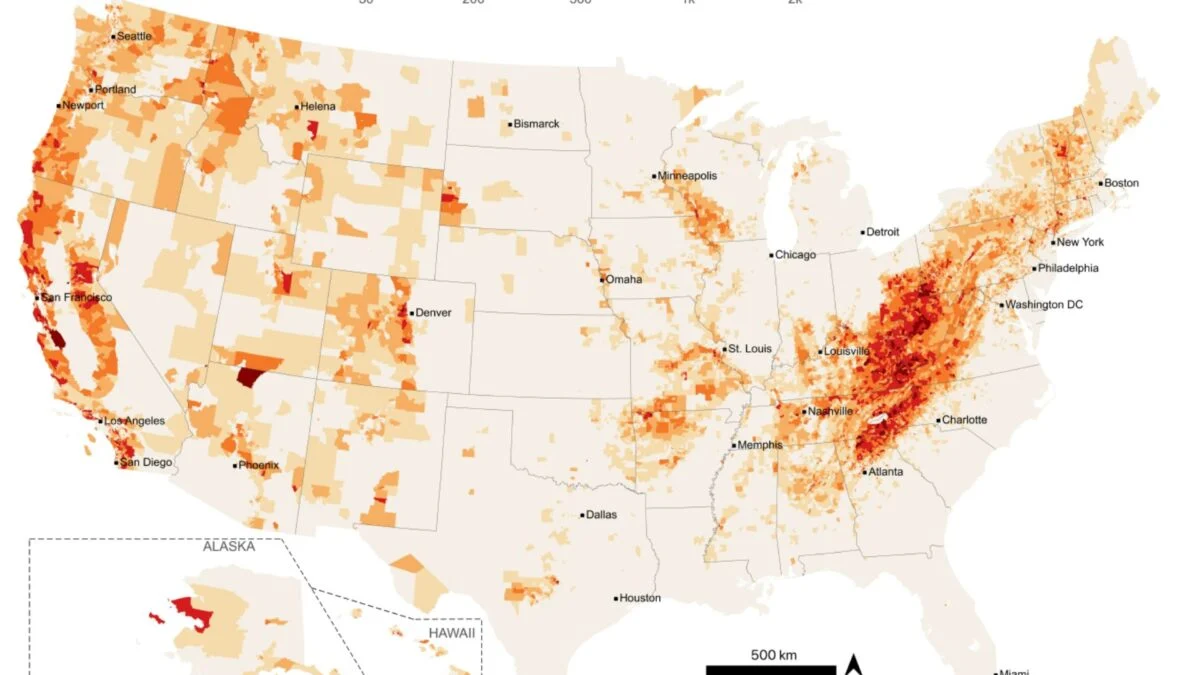
The study, published in Earth’s Future journal, is the first to explore the human geography of landslides in the United States and provides a map of hotspots around the country.
Despite most of the US’s steepest terrain being located in the west, higher population densities mean more than half the people living in a landslide hazard zone are on the east coast.
The Rocky Mountains, Alaska and Hawaii, where local communities are smaller, accounted for just 4 per cent of people living in landslide hazard zones, while states including Nebraska, Minnesota and Illinois, where terrain is flatter but the number of residents is higher, accounted for 700,000 landslide-exposed people.
Researchers combined data from the United States Geological Survey with the spatial footprints of buildings and nighttime occupancy estimates to accurately gauge the number of people living in landslide hazard zones.