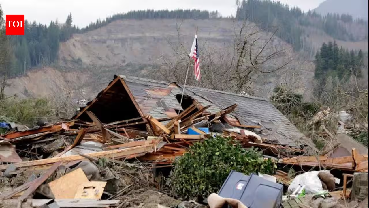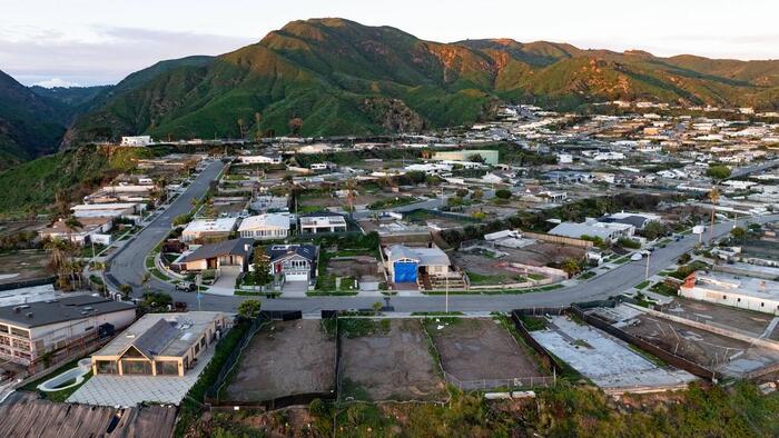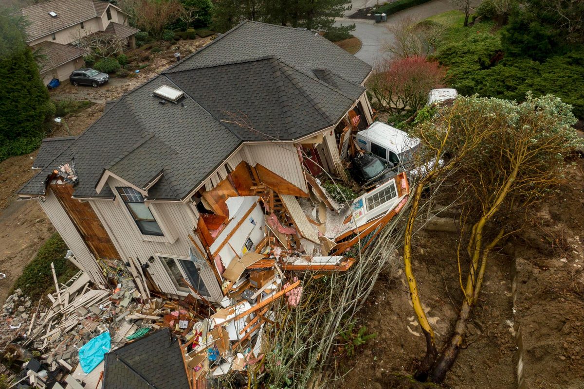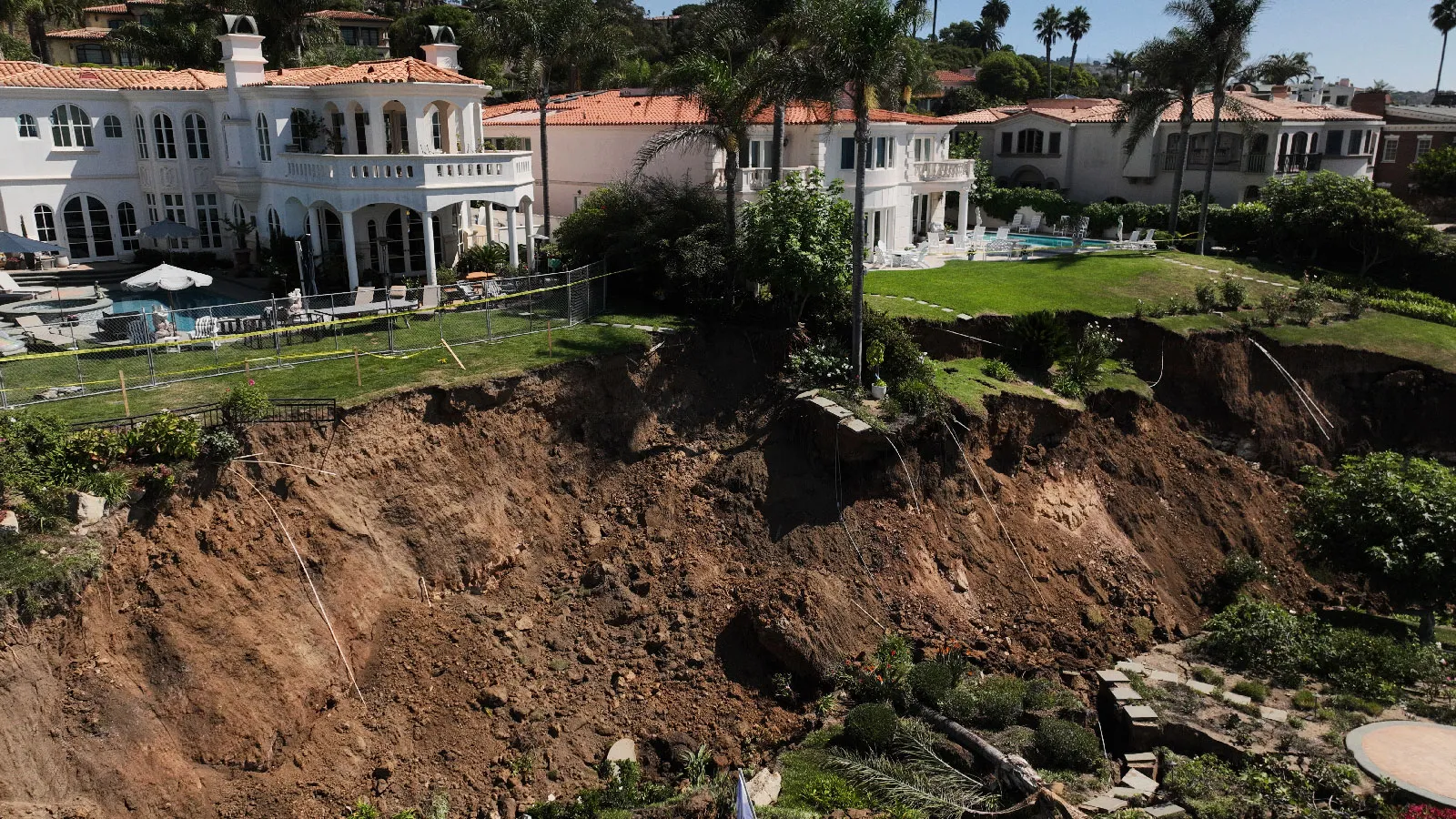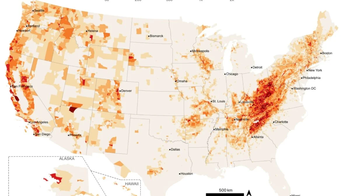
While studying the deadliest landslide in U.S. history—the 2014 Oso disaster that killed 43 people in Washington’s Steelhead Haven neighborhood—Joseph Wartman found himself perplexed. While most of his team members looked up at the slope to understand what triggered the landslide, he fixated on the lower part of the slope, where Steelhead Haven lay buried. “How did this neighborhood come to be? Did people understand how risky a place it was? What resources did they have on hand?” he recalls asking himself. Wartman, director of the Natural Hazard and Disaster Reconnaissance Facility (RAPID) at the University of Washington, told Gizmodo in an email that he still thinks about these questions a lot. In a study published today in the journal Earth’s Future, he and his colleagues provide Americans with potentially lifesaving information about the landslide hazard in their neighborhoods. To the researchers’ knowledge, it is the first study to map landslide hazard zones on a national scale. The findings revealed that 6.5 million Americans live in landslide-prone areas. While these disasters are typically associated with the West, where the terrain is steeper and larger, destructive landslides are more common, the researchers found that over half of people exposed to landslide hazards live closer to the East Coast.
6.5 Million Americans Live in Landslide Hazard Zones. A New Map Reveals if You're One of Them
These disasters can be deadly, and understanding your risk will become increasingly important as the world warms.
901 words~4 min read