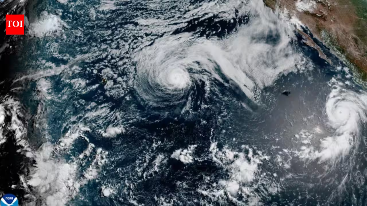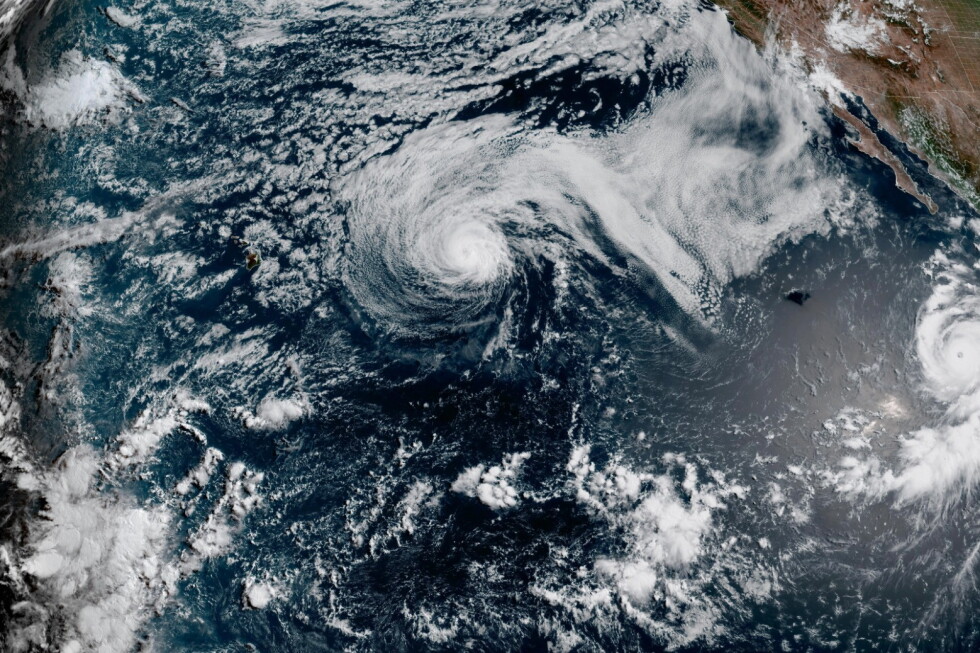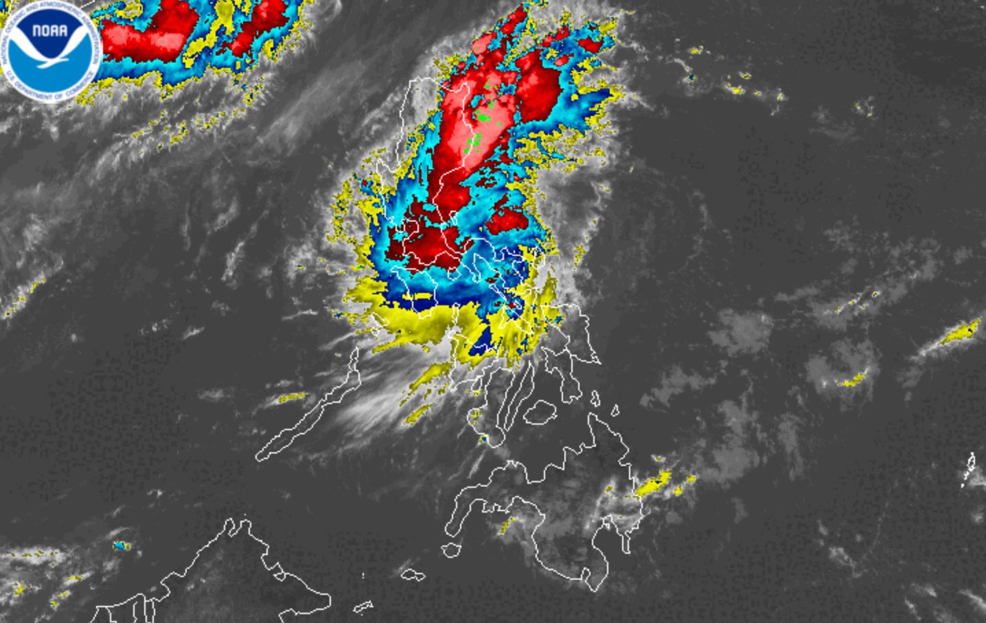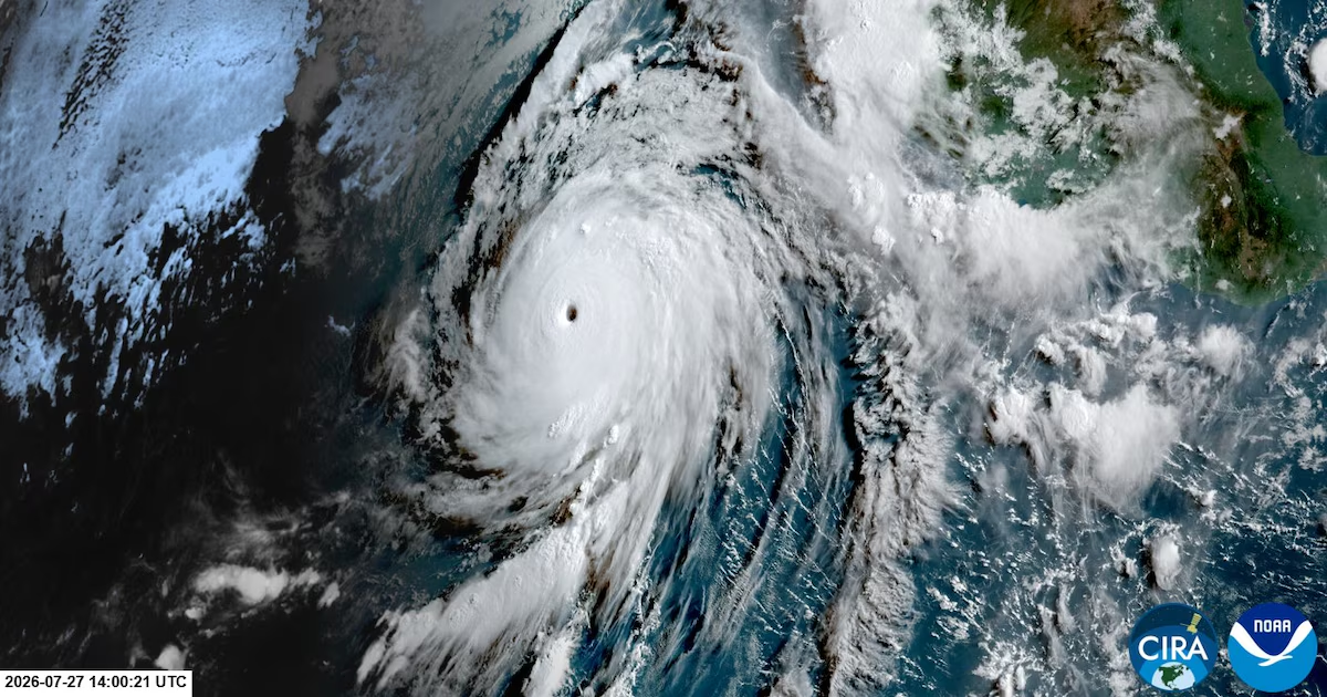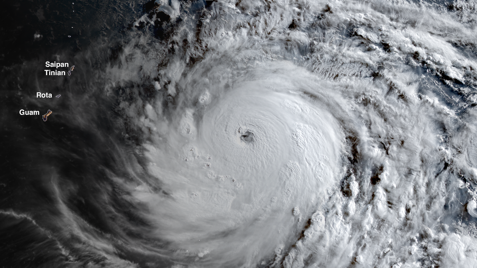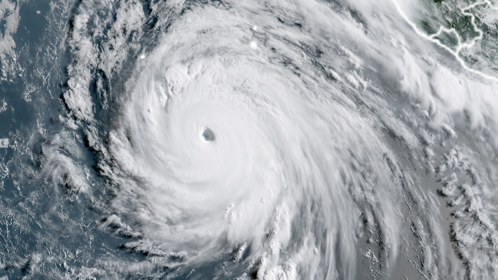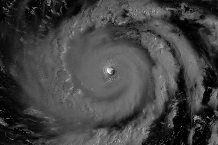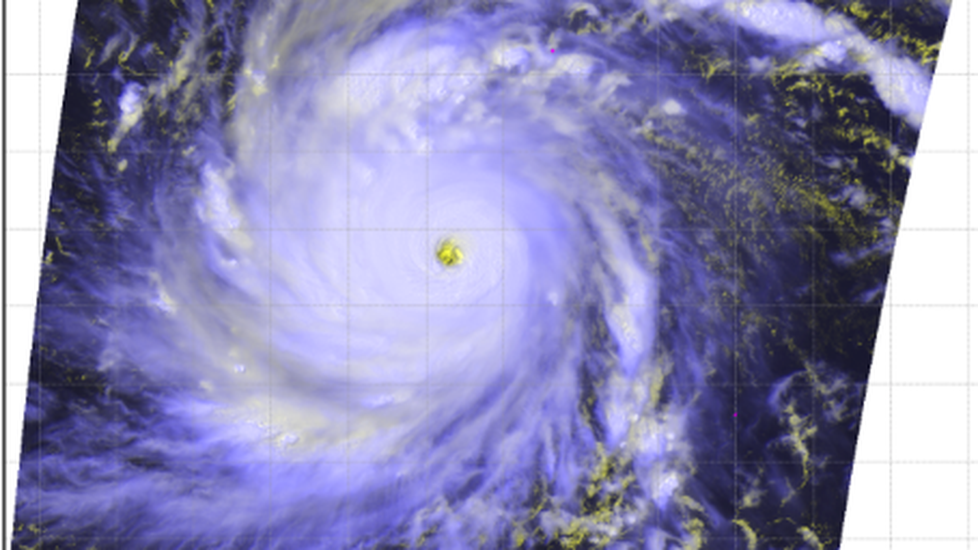
Satellite image of Super Typhoon Dolphin traveling west-northwest on July 29. (Image credit: NOAA)
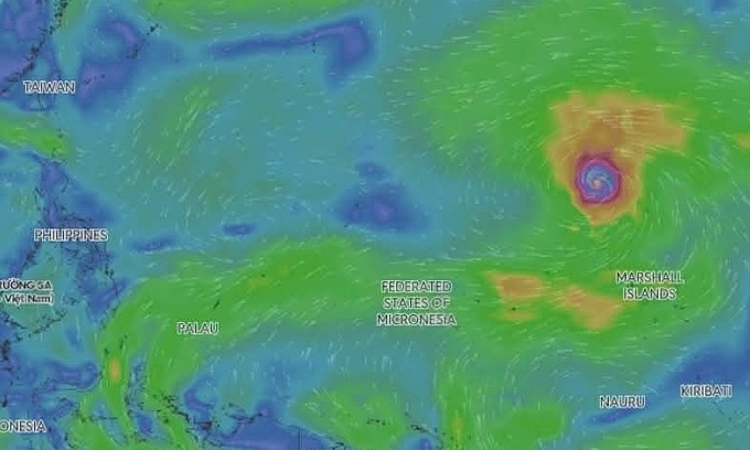
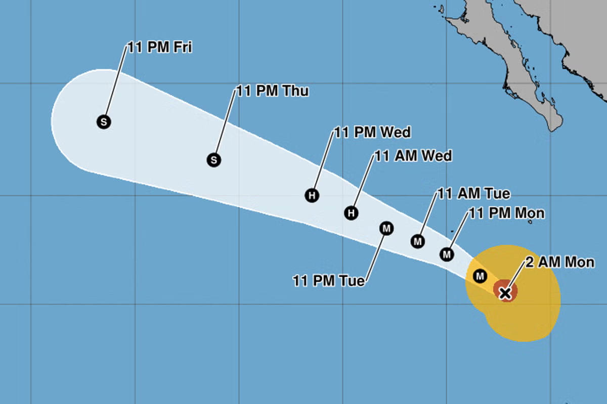
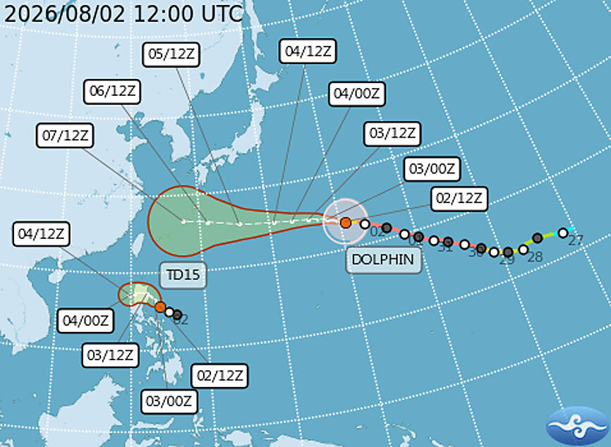
Less than 72 hours after Hurricane Genevieve rocketed to Category 5 strength in the eastern Pacific Ocean, yet another Cat 5 tropical cyclone is flexing its muscle, this one further west. Super Typhoon Dolphin poses no immediate threat to land, at least through the weekend, but it is a storm worth watching because it is both historic – in fact, Dolphin is the strongest typhoon on record to develop so close to the International Date Line – and entirely consistent with the onset of a strong El Niño event (see below).
Dolphin peaked with maximum sustained winds of 165 mph (270 km/h) on Thursday morning local time, with a 910 mb central pressure, after an explosive intensification cycle that lasted less than 36 hours. On Monday, this system was only a tropical storm, but very warm ocean waters between 84°F and 86°F (29°C to 30°C), combined with low wind shear of 5 to 10 knots, allowed it to rapidly intensify into a super typhoon. A super typhoon is defined as a typhoon with sustained winds of at least 150 mph (240 km/h), equivalent to at least a strong Category 4 hurricane. (The International Date Line, or the 180th meridian, is used to distinguish typhoons from hurricanes in the North Pacific.)