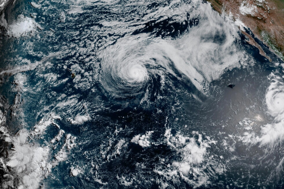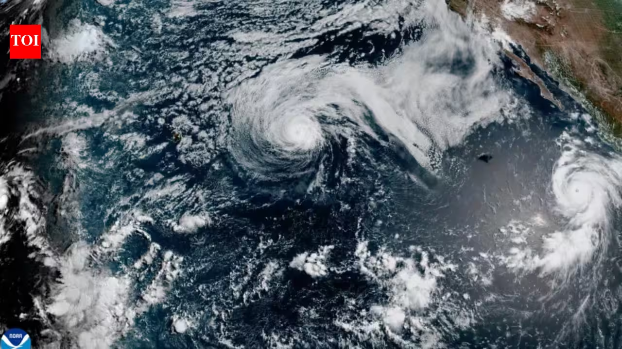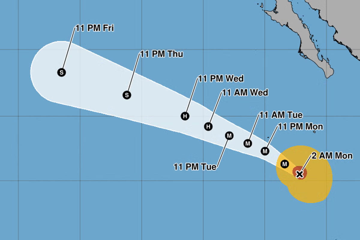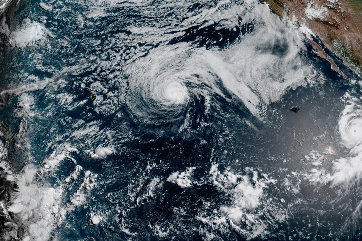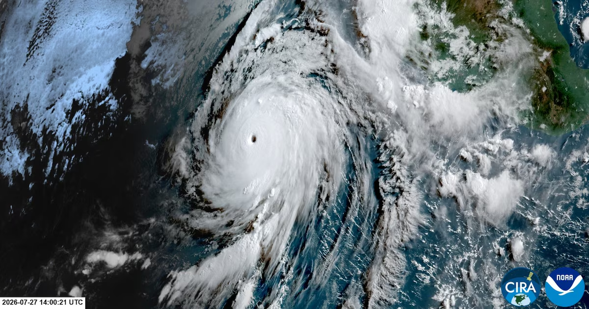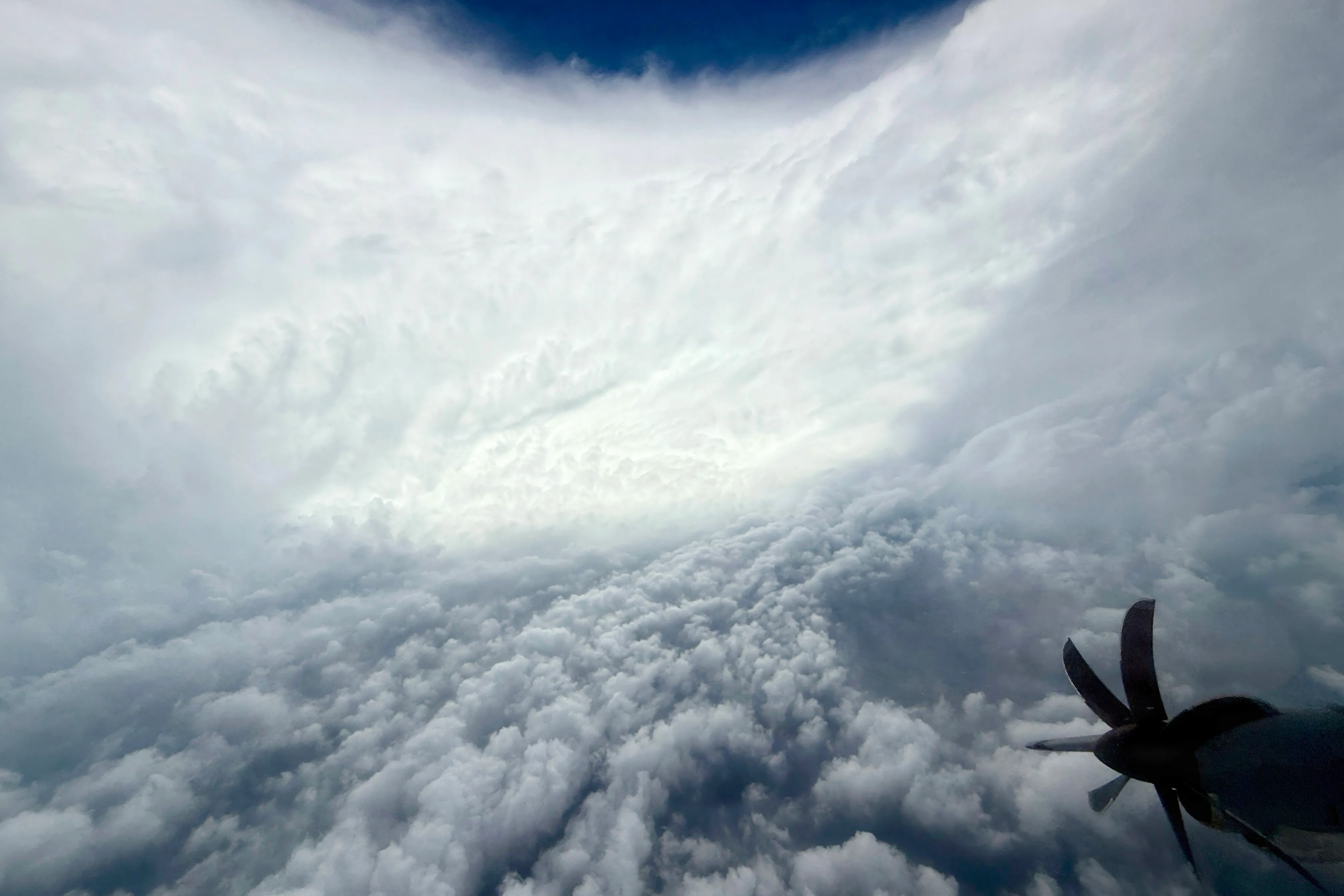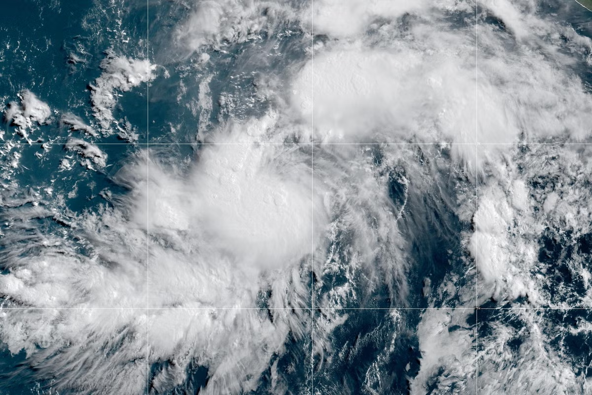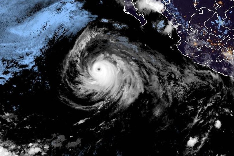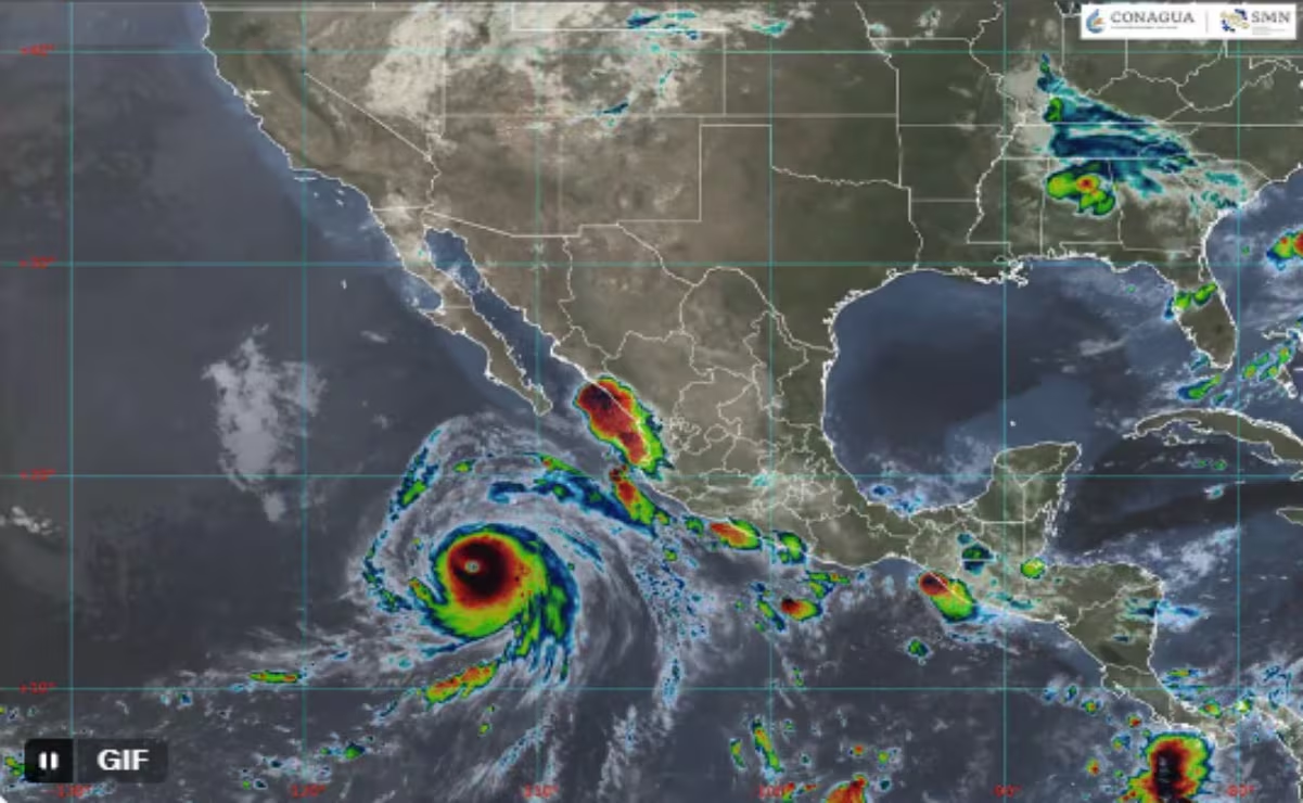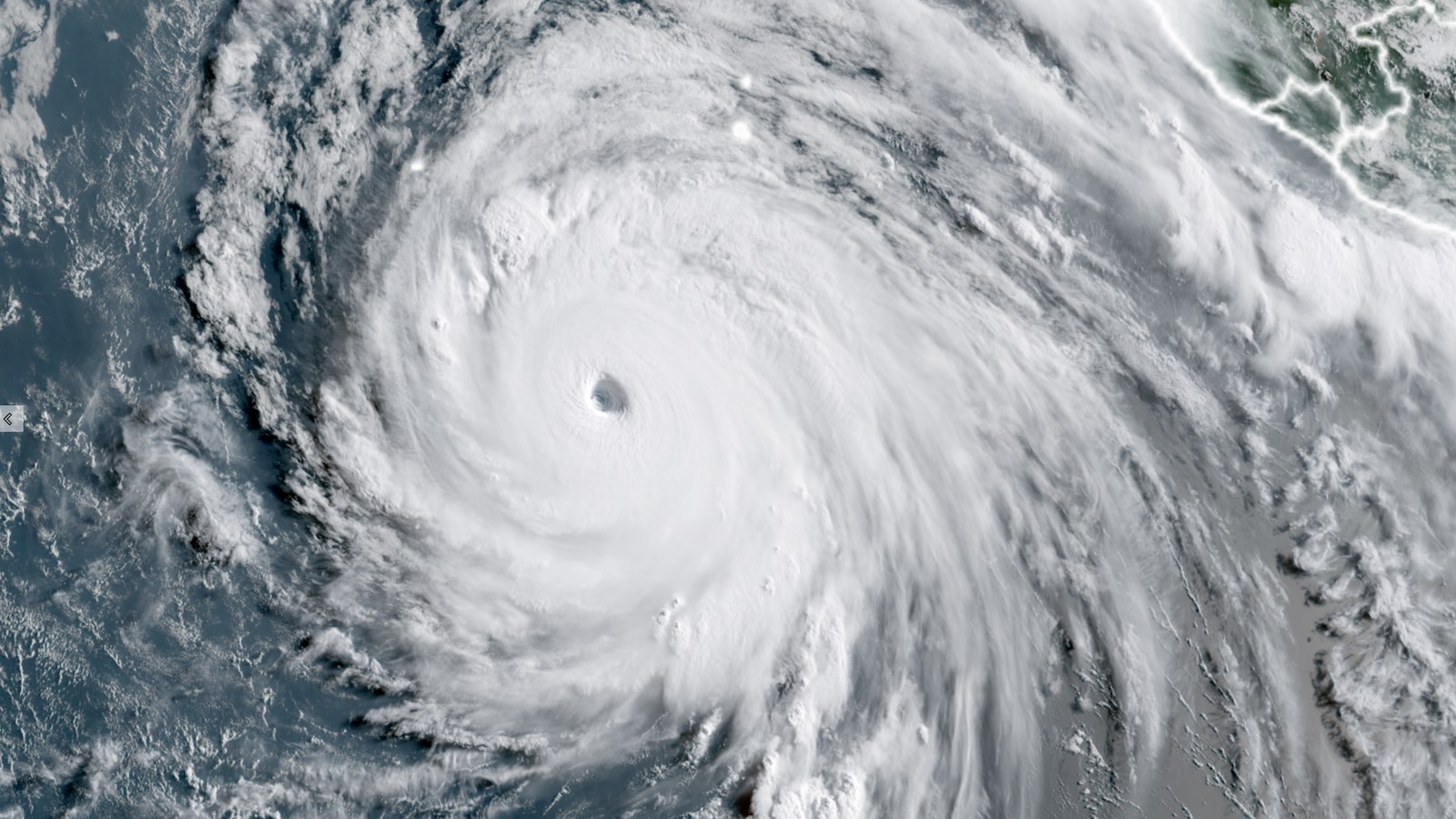
Intensifying at a dramatic pace, Hurricane Genevieve – which was nothing more than a tropical depression on Friday, July 24 – became the first Category 5 storm of 2026 in the Eastern Pacific at 5 a.m. EDT Monday, July 27, with top sustained winds touching 160 mph (257 km/hr) and a central pressure of 925 mb. As of 11 a.m. EDT Monday, Genevieve’s top sustained winds had dropped slightly to 155 mph (251 km/hr), which put the hurricane back in the Cat 4 range – albeit at the very top of that range. Genevieve is the first Eastern Pacific storm to hit Cat 5 status since Kristy in 2024.
Fortunately, Genevieve’s wrath is playing out far away from land. As of 11 a.m. EDT Monday, Genevieve was centered roughly 520 miles south-southwest of the southern tip of Baja California. Genevieve was moving northwest, roughly parallel to the Pacific coast of Mexico, at a brisk 14 mph. Steady steering currents are predicted to keep Genevieve well clear of any land areas over the next five days. The track is forecast to take a slight leftward bend over time, moving it even farther away from land.
Contributing to Genevieve’s rapid ascent to Cat 5 strength were light-to-moderate wind shear, a moist atmosphere (relative humidity above 80%), and sea surface temperatures of around 30 degrees Celsius (86 degrees Fahrenheit). The waters of the tropical Eastern Pacific from Genevieve west to the region south of Hawaii are experiencing near-record warmth for late July. This area lies just north of the Niño3.4 region that straddles the equator, where records for late-July oceanic warmth are getting pulverized – courtesy of the record-early onset of a powerful El Niño event.