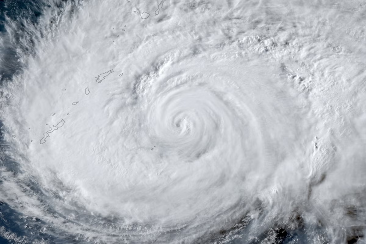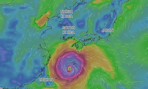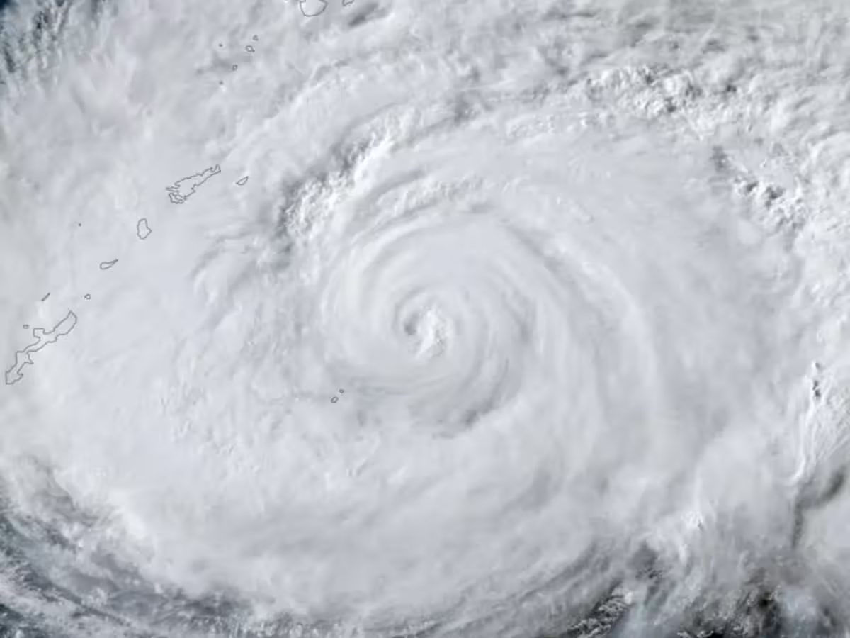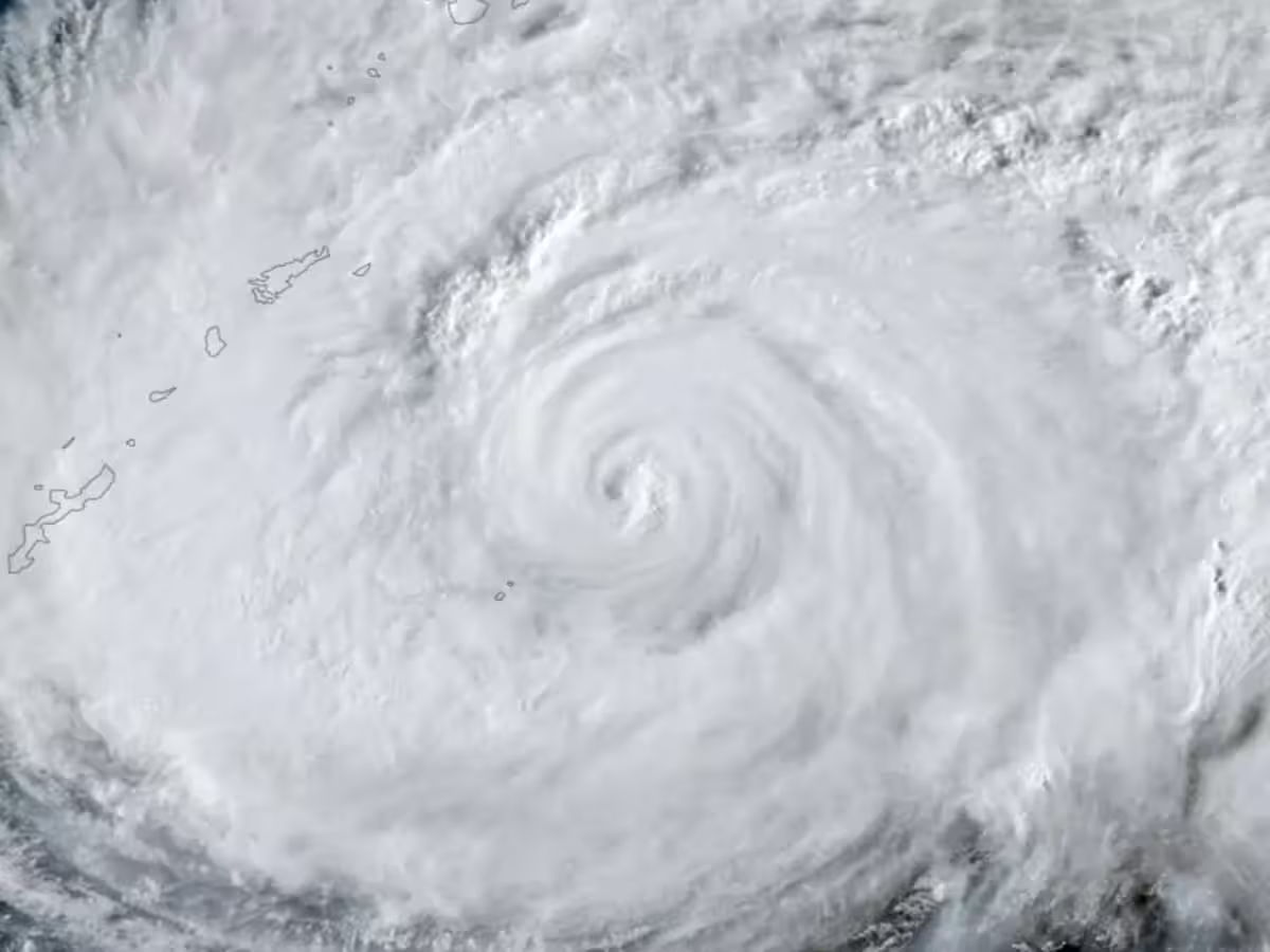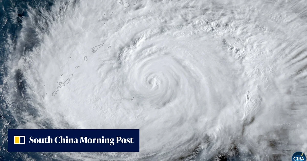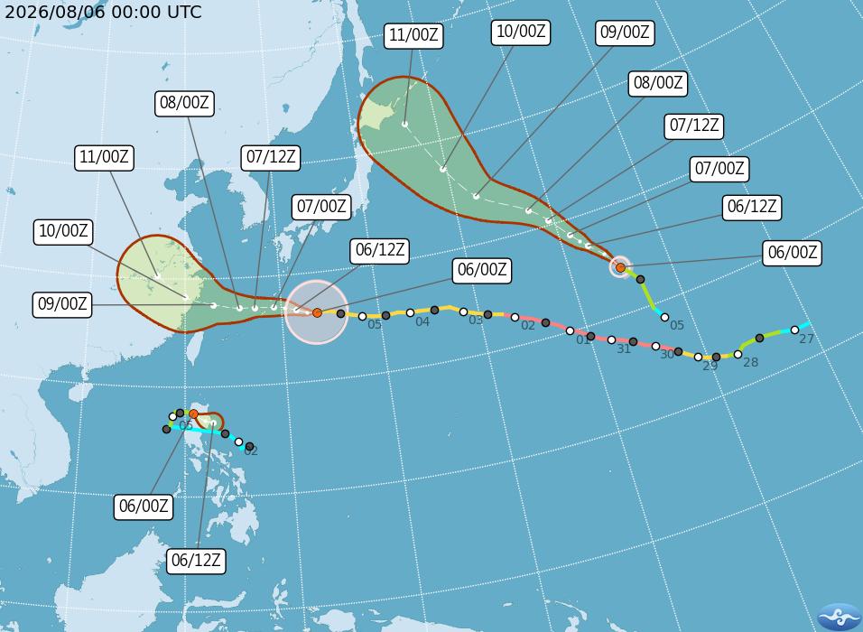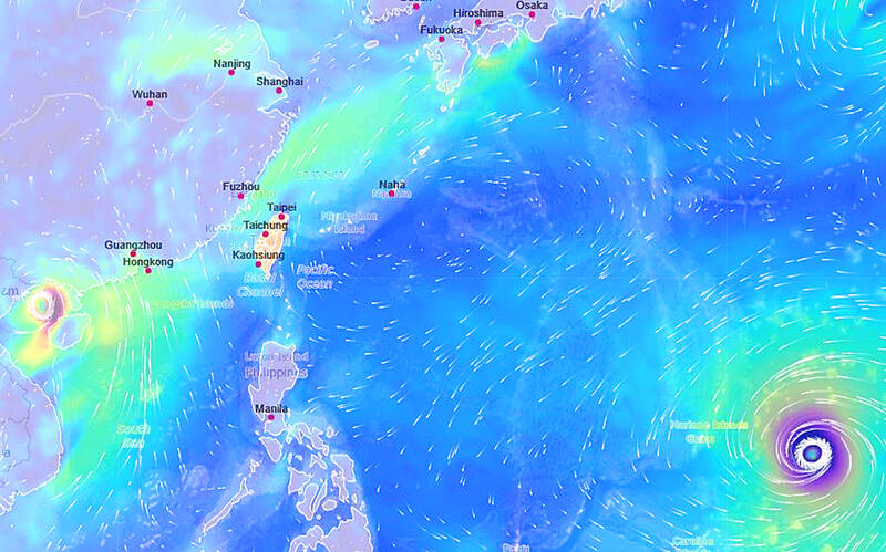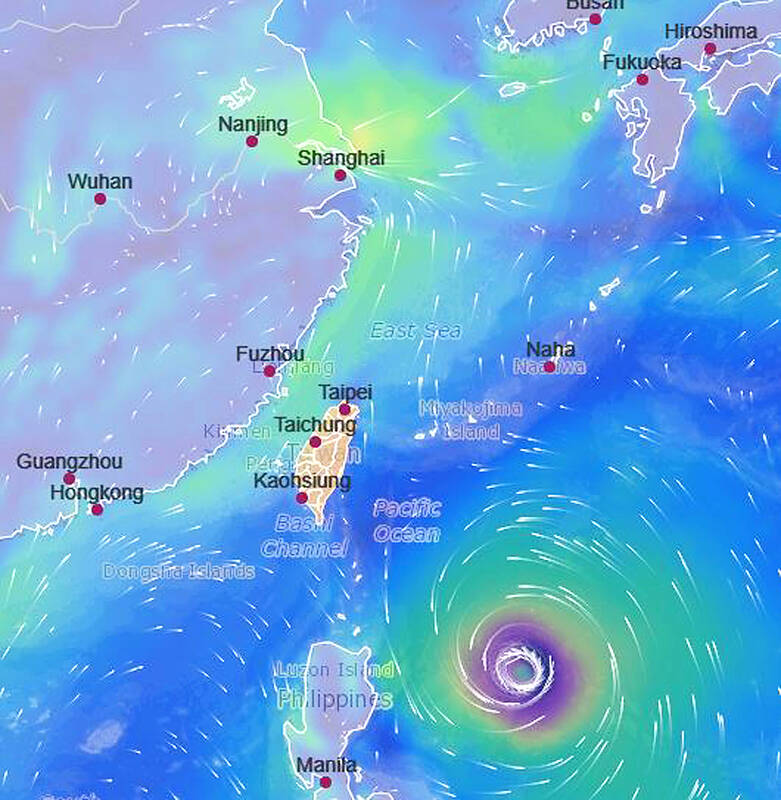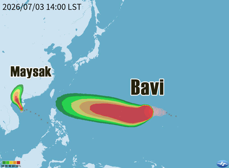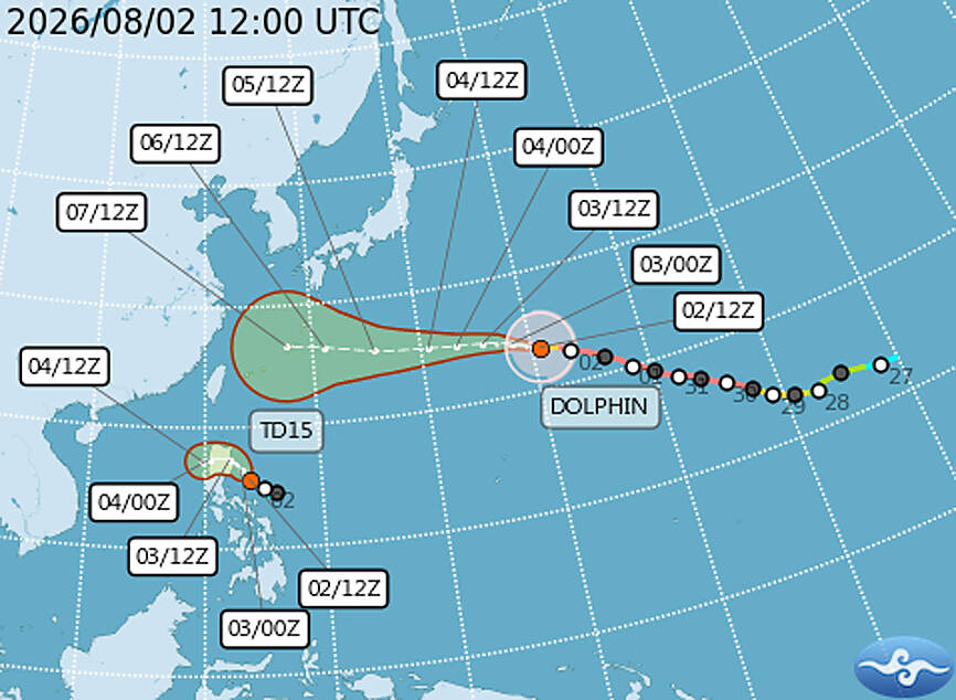
Typhoon Dolphin could bring heavy rain to northern Taiwan later this week if it tracks closer to the nation after passing the Ryukyu Islands, the Central Weather Administration (CWA) said yesterday.The CWA said forecast models agree the storm is to move toward the Ryukyu Islands through Thursday, but diverge over its path after that.One scenario has Typhoon Dolphin passing north of Taiwan, while another has it curving toward the Korean Peninsula if the Pacific high pressure system currently over the East China Sea and Taiwan weakens.
The projected paths of Typhoon Dolphin and a tropical depression are pictured as of 8pm yesterday.
Photo courtesy of the Central Weather Administration
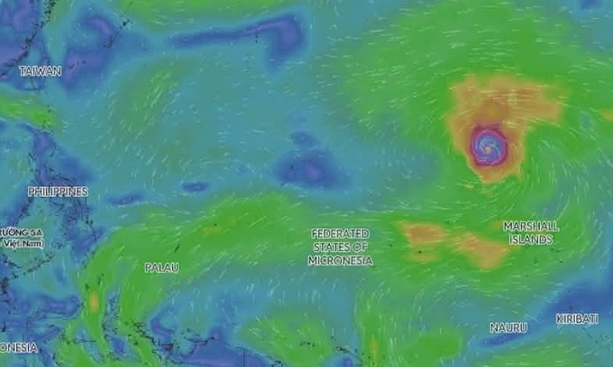
Because of the uncertainty, it is still too early to determine whether Taiwan is to issue a sea warning for the storm, CWA forecaster Liu Pei-teng (劉沛滕) said.Meanwhile, a tropical depression east of the Philippines could strengthen into Typhoon Kujira late yesterday or early today, but is expected to weaken again by tomorrow, with its moisture likely to be absorbed into Typhoon Dolphin, Liu said.
Before the storm potentially affects Taiwan late in the week, the nation is to see typical summer weather through tomorrow, with hot conditions and isolated afternoon thunderstorms, Liu said.Moisture is expected to increase starting later tomorrow, while Dolphin’s outer circulation could begin affecting Taiwan on Friday.The CWA has, for now, forecast localized heavy rain in northern Taiwan and the mountains of central Taiwan on Saturday and Sunday, with torrential rain possible in northern mountain areas.