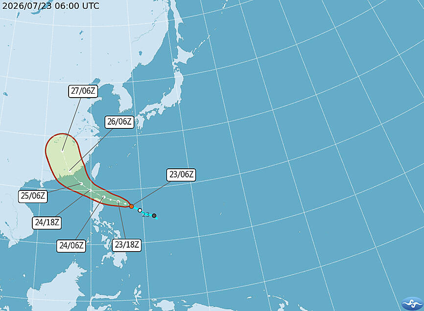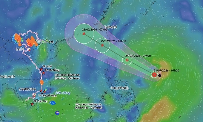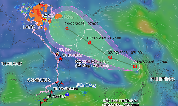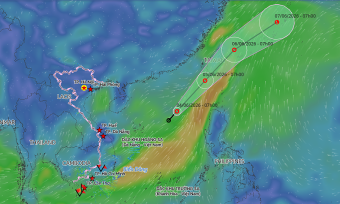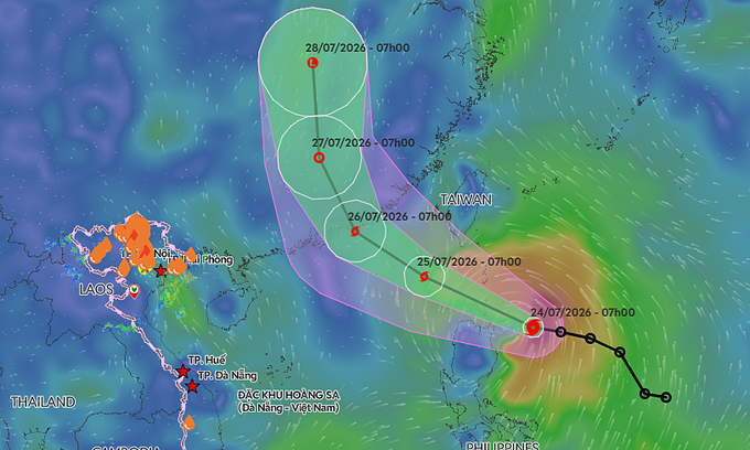
As of 7 a.m. on Friday, the storm lay centered approximately 210 kilometers east of the Philippines' Luzon Island, according to Vietnam's National Center for Hydro-Meteorological Forecasting (NCHMF). It is currently moving west-northwest at 25 kph, packing maximum sustained winds of 74 kph with gusts reaching up to 102 kph.
The storm is forecast to enter the northeastern waters of the East Sea by Saturday morning. It is expected to maintain its speed and trajectory while strengthening, with maximum sustained winds reaching 89 kph and gusts up to 133 kph.
A predicted trajectory of Storm Noul. Graphic by Vietnam Disaster Monitoring System
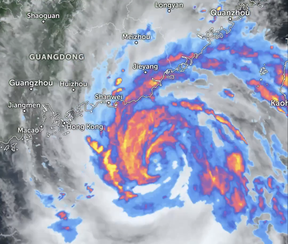
By Sunday morning, Noul should reach the coastal waters of China's Guangdong Province. Wind speeds are predicted to intensify further, reaching 89-102 kph with gusts up to 149 kph.
The storm will then likely shift north-northwest, making landfall in Guangdong at 15-20 kph before gradually weakening back into a tropical depression.