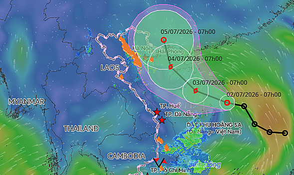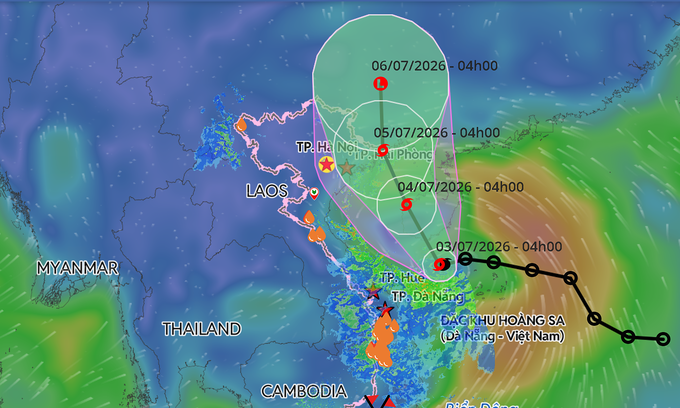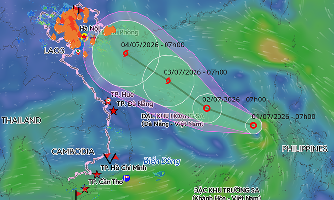
According to Vietnam's National Center for Hydro-Meteorological Forecasting, the system is moving west-northwest at around 10 kph, with winds of 39-49 kph.
Over the next 48 to 72 hours from 9 a.m. Wednesday, it is expected to continue tracking northwest at 15-20 kph and may further intensify into a tropical storm by Friday morning, with winds strengthening to 62-88 kph.
Meteorologists have issued warnings for heavy showers, severe thunderstorms, and waves exceeding 3 m across maritime routes in coming days from Khanh Hoa Province, home to Nha Trang Beach, to An Giang Province, as well as the Gulf of Thailand, home to Phu Quoc Island.
A predicted trajectory of a tropical depression in the East Sea. Graphic by Vietnam Disaster Monitoring System
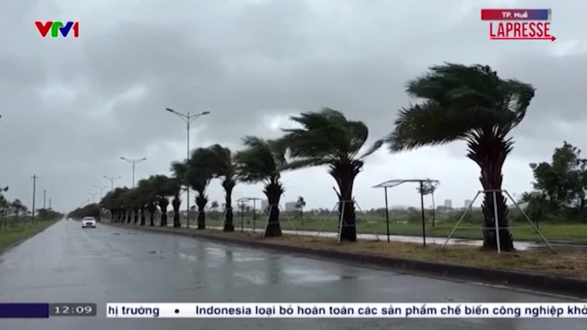
Northern Vietnam and nearby Thanh Hoa Province are already experiencing heavy downpours that began late Tuesday. Authorities warn that continued torrential rain through Thursday could increase the risk of flash floods, landslides in mountainous areas, and urban flooding.