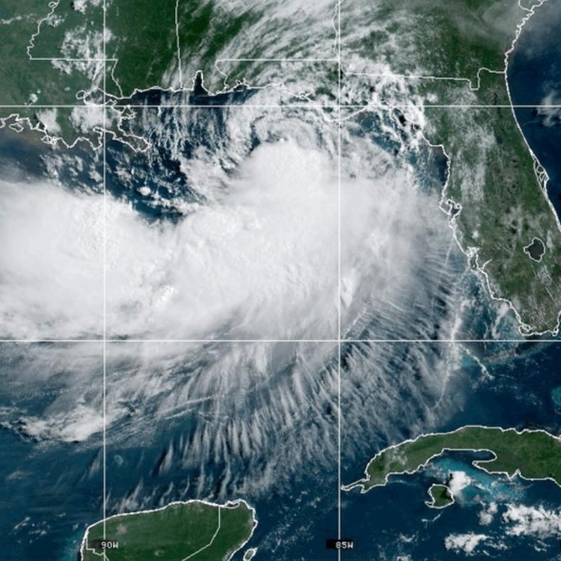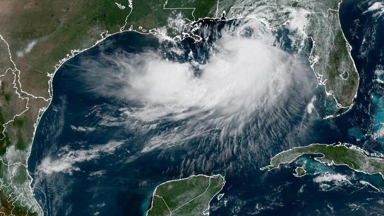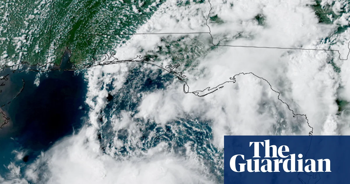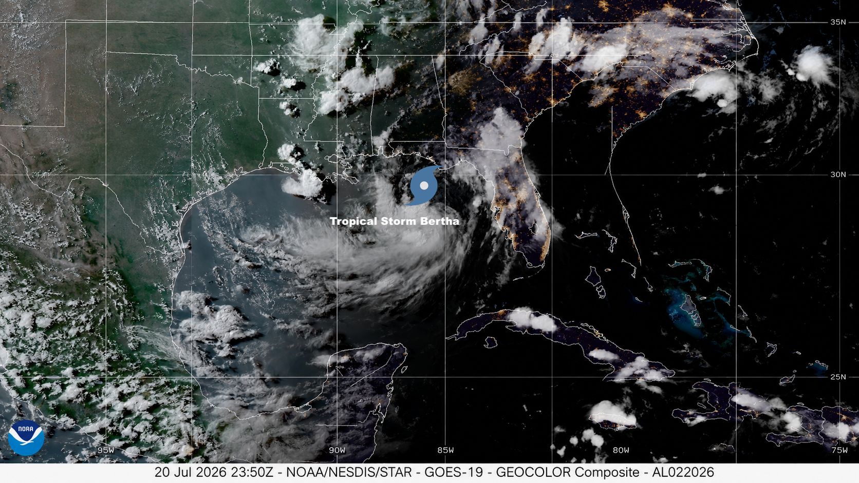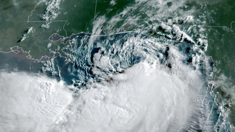
Bertha continues its tour along the Gulf Coast, ushering in tropical storm-force wind gusts, hazardous beach conditions and pockets of rain. But its most significant impacts may unfold hundreds of miles away in the mid-Atlantic.
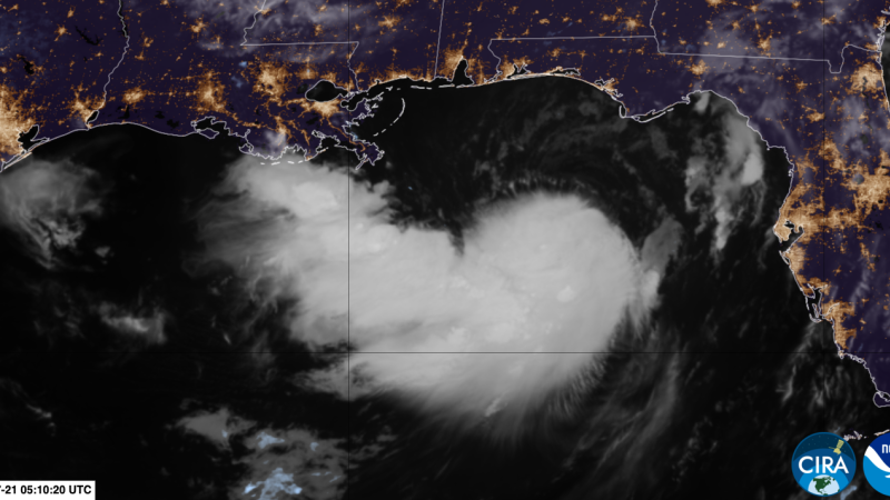
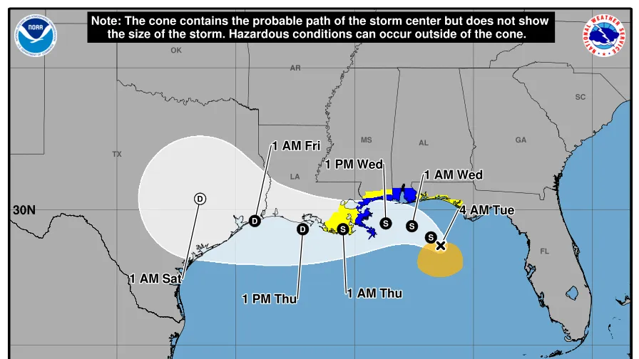
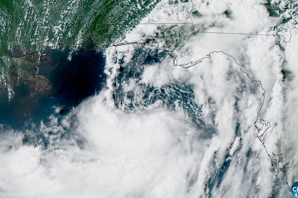
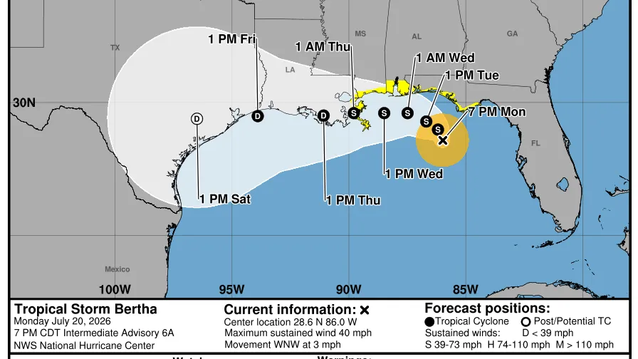
The disorganized, lopsided tropical storm was centered south of the Louisiana coast early Thursday with maximum sustained winds of 45 mph. Bertha will move near or along the Louisiana and upper Texas coasts through Thursday afternoon before moving inland over Texas by Thursday night.
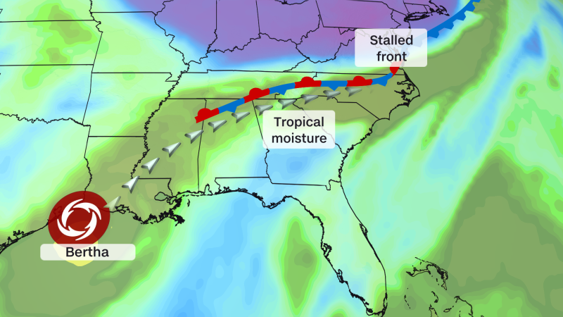
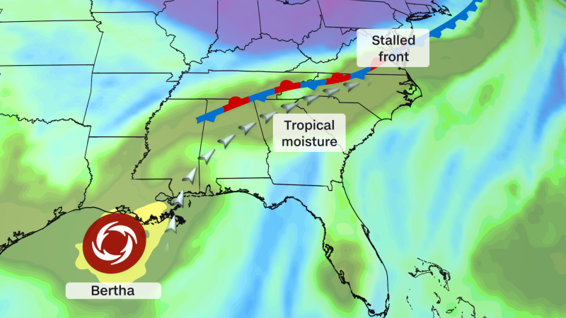
Meanwhile, a plume of tropical moisture linked to Bertha is feeding into a cold front draped across southeast Virginia, parts of the Carolinas and northern Georgia. That moisture will supercharge flooding rainfall through Thursday in the Mid-Atlantic and Southeast, potentially producing more serious impacts than those occurring near Bertha itself.
Bertha is forecast to maintain tropical storm strength until it reaches the upper Texas coast late Thursday, then dissipate over Texas by Thursday night or Friday. The storm could bring 2 to 4 inches of rain, with isolated totals of 6 inches, along the Texas Gulf Coast and in South Texas, potentially causing isolated flash flooding. Meanwhile, its moisture will continue feeding a more dire flood threat farther east.