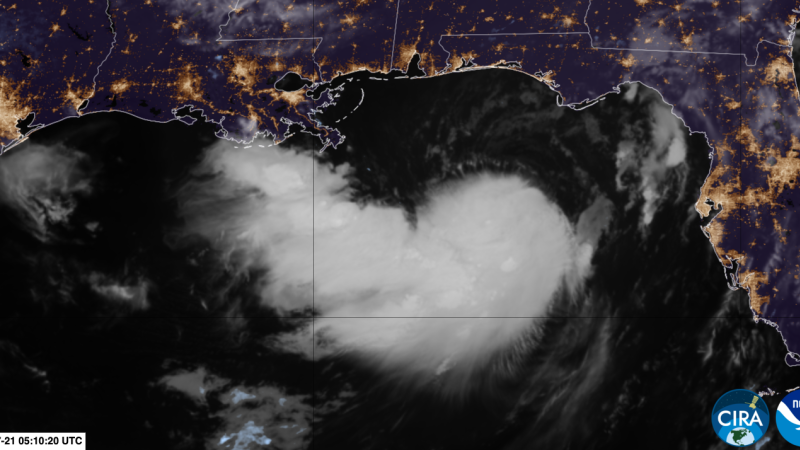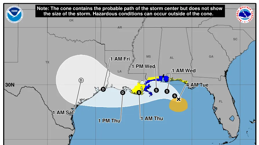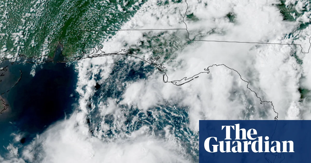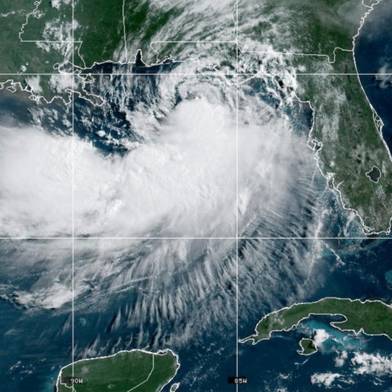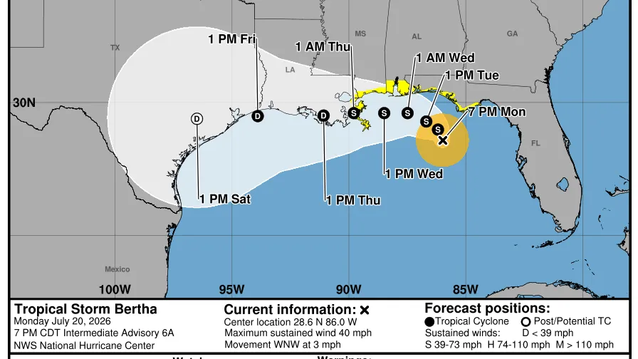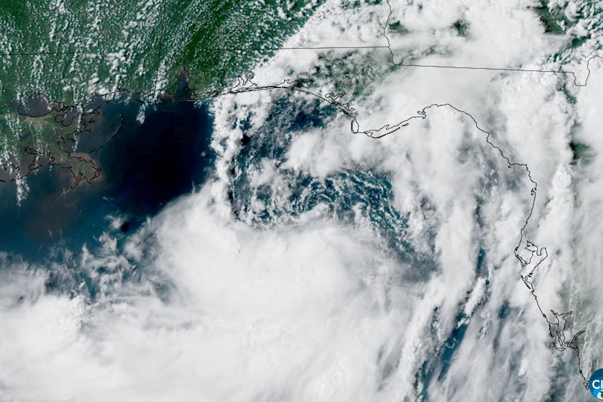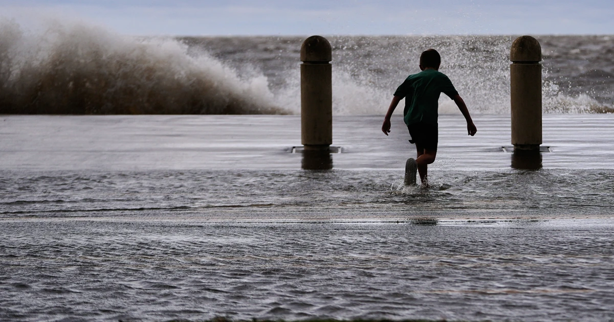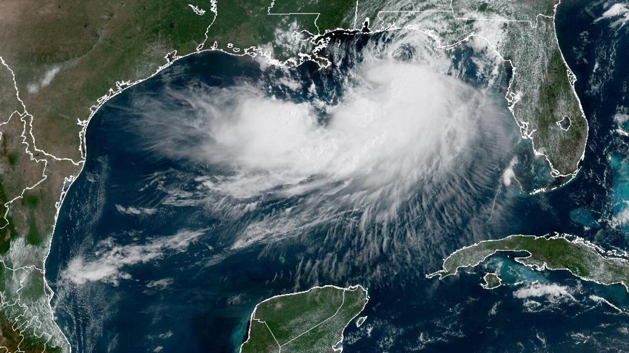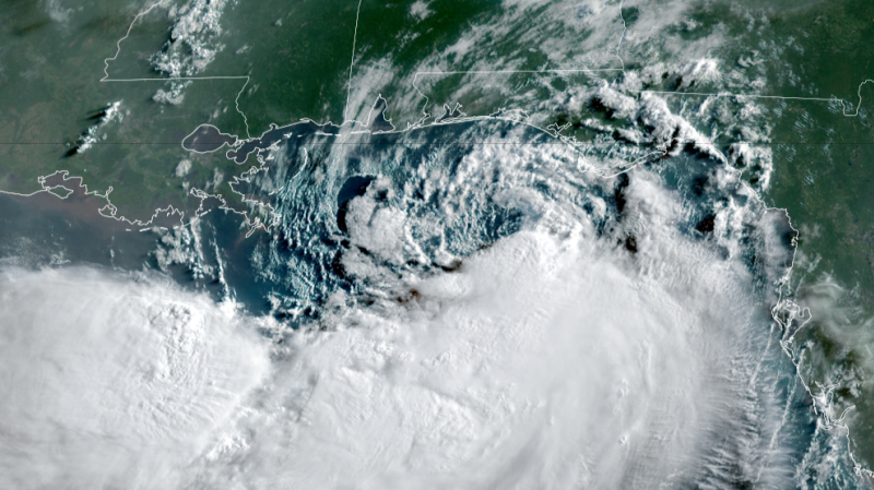
Tropical Storm Bertha continues to move slowly in the northeastern Gulf, where it is expected to bring periods of rain, gusty winds and coastal flooding to parts of the Gulf Coast from Florida to Louisiana.
Bertha may have earned a name, but it still isn’t a well-organized tropical storm. All of its thunderstorms remain confined to its southern half because unfavorable upper-level winds and dry air continue to disrupt development despite fuel from near-record warm Gulf water.
This lopsided structure will keep much of Bertha’s heaviest rain and strongest winds offshore as it crawls closer to the northern Gulf Coast through Wednesday. The system will still spin some bands of rain, gusty winds and coastal flooding toward the Gulf Coast, but overall, widespread, major impacts are not expected.
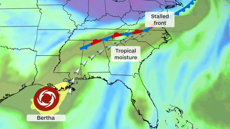
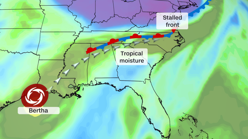
Bertha’s moisture will also help fuel a flooding rain threat hundreds of miles away in the Southeast. A stalling cold front in the region will pull its moisture up from the Gulf Wednesday through the end of the week, especially over the Carolinas.
Bertha is the second named storm of the Atlantic hurricane season, which has gotten off to a slow start compared to recent years as El Niño tightens its grip on parts of the basin.