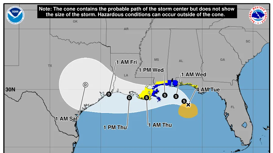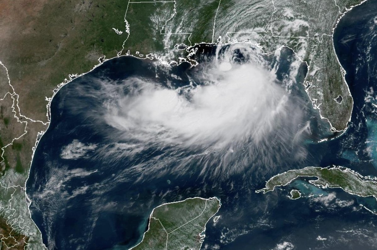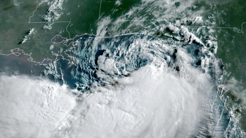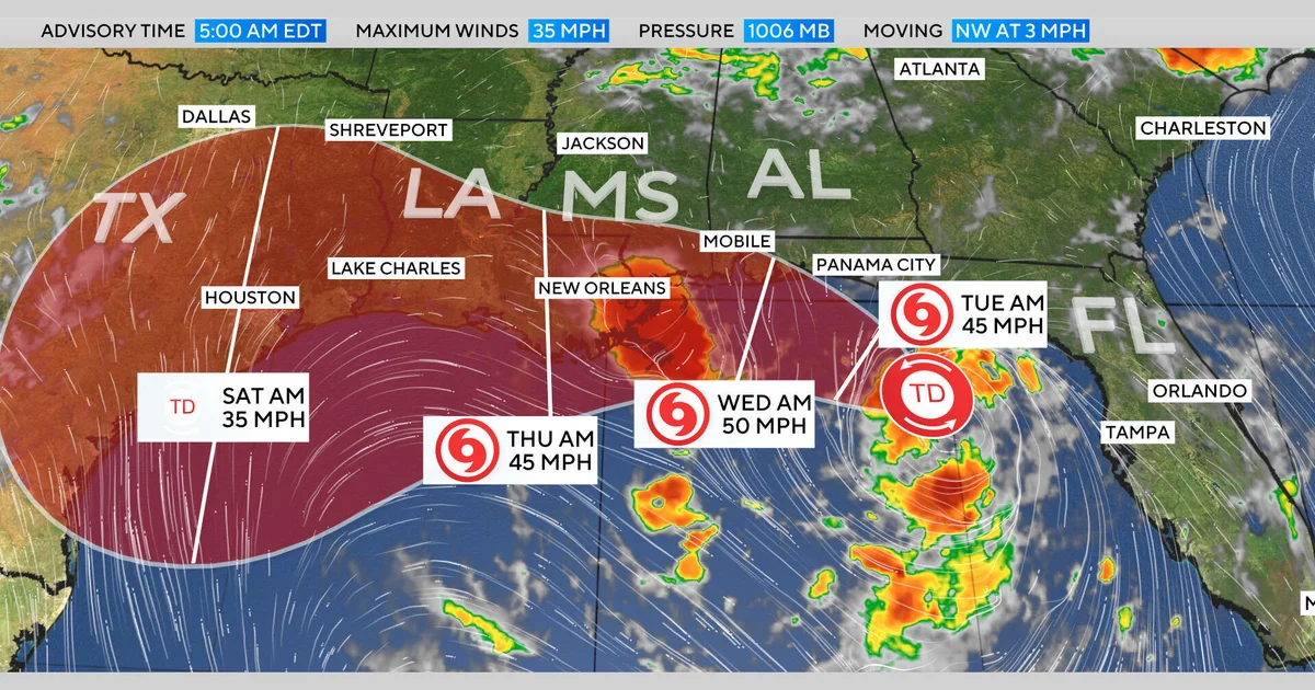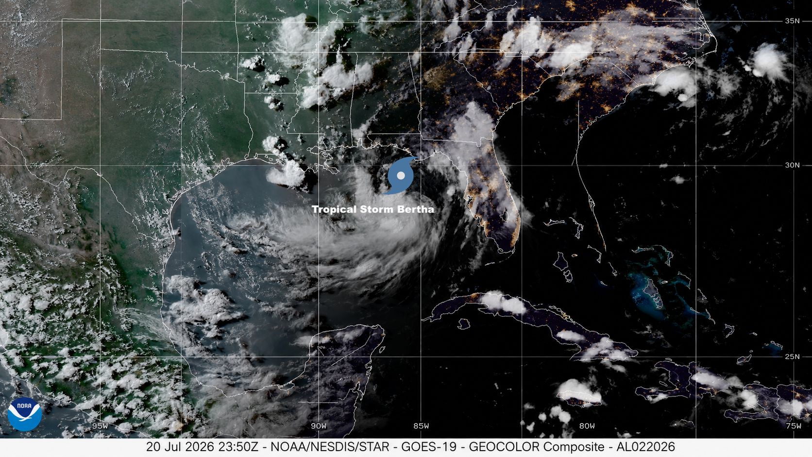
Update (Monday, July 20, 8:30 p.m. EDT):
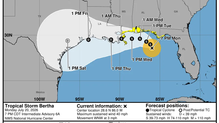
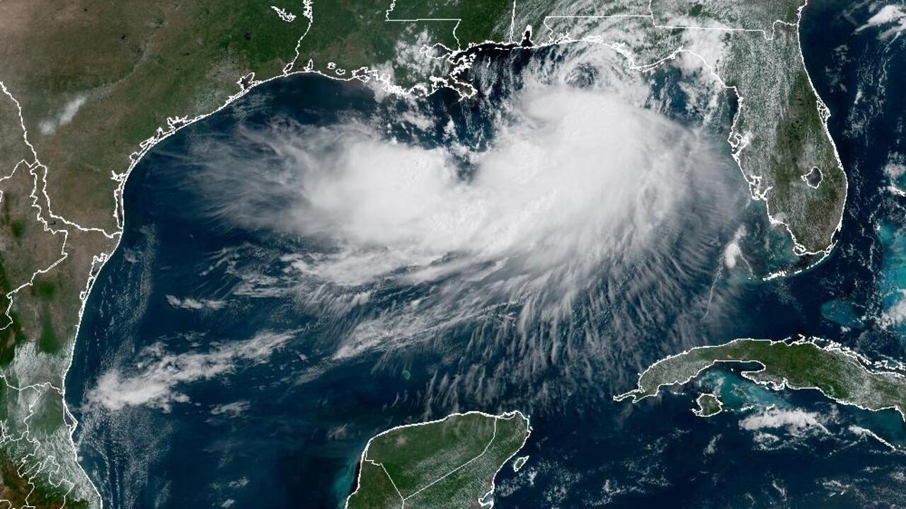
The National Hurricane Center has officially upgraded Tropical Depression Two to Tropical Storm Bertha in the 8:00 PM EDT advisory. NOAA Hurricane Hunters flew into the system throughout the afternoon and found that the depression had strengthened into a tropical storm. It currently has maximum sustained winds of 40 mph as it continues to crawl west-northwest at around 5 mph (6 km/h). The minimum central pressure has also dropped to 1004 millibars (29.65 inches of mercury). This is slightly lower than Bertha’s central pressure during Monday afternoon.
[Haz clic aquí para leer en español]
Bertha arrived just three days after the average date of the Atlantic’s second named storm of the season (July 17), based on the period 1991-2020. In contrast, the Eastern Pacific produced its sixth named storm of 2026, Fausto, on Sunday, July 19, more than two weeks earlier than average.
Earliest reasonable arrival time of tropical-storm-force winds. This is when preparations should end, as wind will pick up and conditions become dangerous. Keep in mind that rounds of rain and storms could enter the area ahead of the sustained winds.