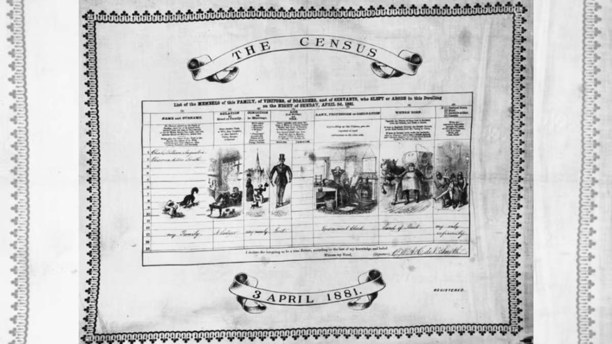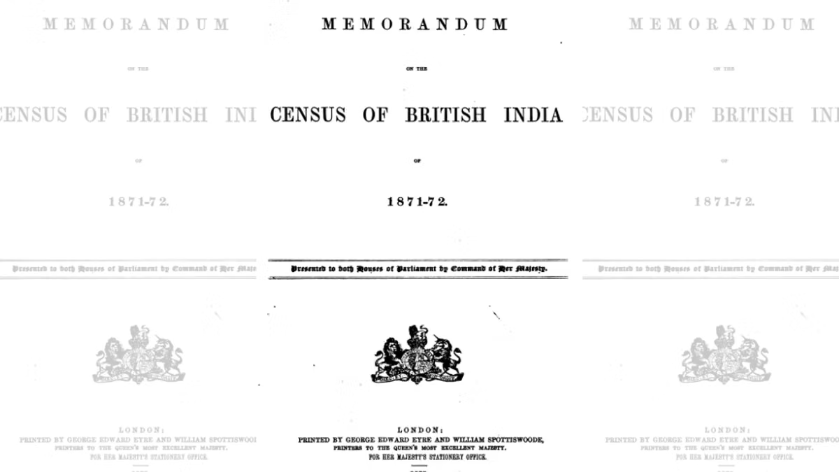
In the previous article we discussed the process of making the 1871-72 Census. Despite the acknowledged flaws and significant exclusions, the 1871-72 Census produced a wealth of statistical data that revealed the extraordinary diversity and complexity of Indian society. This article will look closely at its findings, and explore them through a thematic account of different categories.
(Table of Contents of ‘Memorandum on the Census of British India 1871-1872’ by Waterfield, 1875)
Population
The data on area and population (c. 1865–72) reveals that there are directly administered provinces with a substantial share of territory under feudatory (princely) states. Of the total 1.45 million square miles and nearly 239 million people, about four-fifths of the population and three-fifths of the area were under British administration, while the rest lay in indirectly governed regions such as Hyderabad, Rajputana, and Central India. As noted in the previous article, many feudatory states, Kashmir , districts under British India, and frontier areas (NEFA/ current Arunachal Pradesh), Lushai Hills (Mizoram– not yet annexed) were excluded.
Large provinces like Bengal, Madras, and the North-Western Provinces dominated demographically, forming the core of British rule, whereas major princely states contributed significantly to the overall population but remained outside direct administrative control. Bengal alone had over 62.6 million people, far exceeding provinces like Bombay (25.6 million) or Punjab (22.9 million), while smaller regions like Coorg had barely 0.17 million. Feudatory states were also uneven—Hyderabad ( 10.7 million, in 1867) and Rajputana (9 million) were large demographic units, whereas others like Manipur had just 0.13 million, highlighting the fragmented and unequal structure of colonial India.