20 July 2026
Satellite images have been analysed by a machine-learning algorithm to produce high-resolution maps of wetland environments — a boon for conservation efforts.
By
Andrew Mitchinson
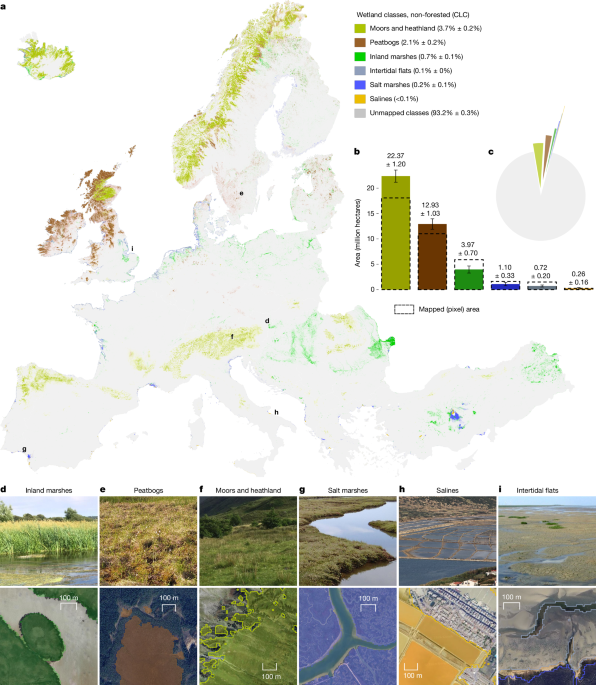
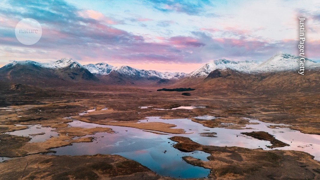
The world’s wetlands are precious: they cover only 5–8% of Earth’s land surface, but store 20–30% of its soil carbon. Human activities have disturbed these environments, causing substantial carbon losses. Writing in Nature, Kovács et al. report high-resolution maps of European wetlands that provide an essential foundation for restoration work (G. M. Kovacs et al. Nature 655, 932–941; 2026).