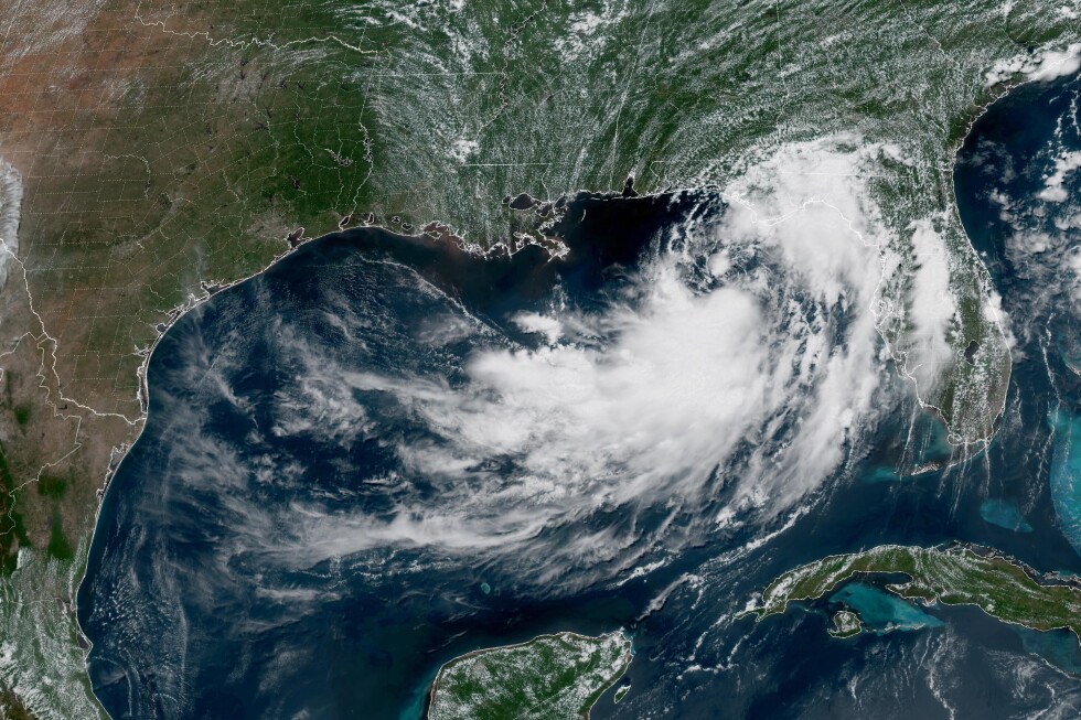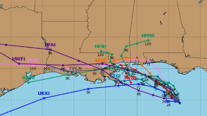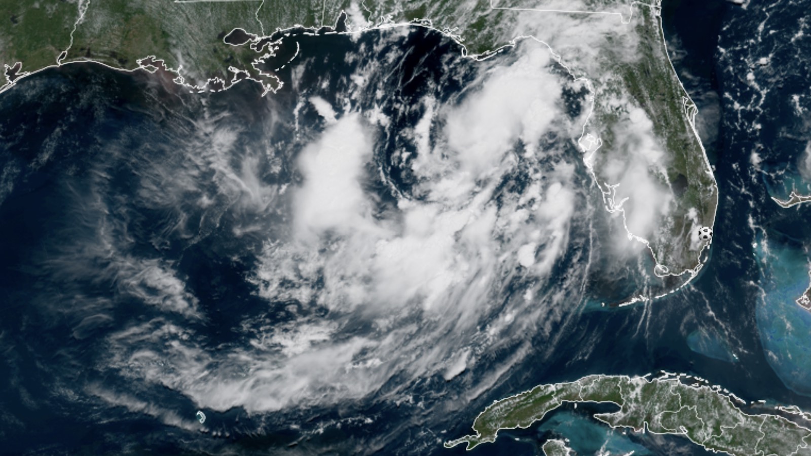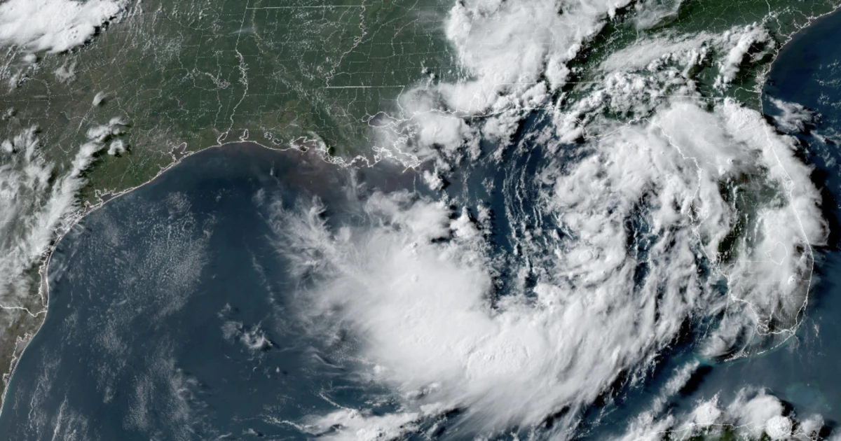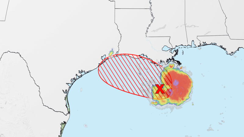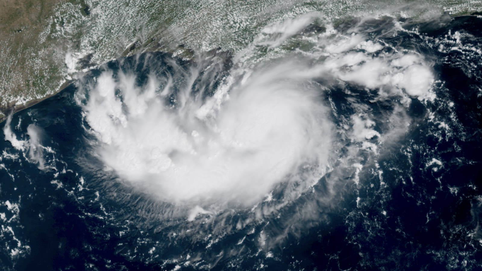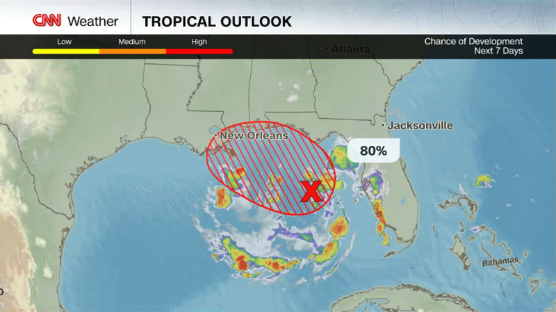
An area of low pressure in the northeast Gulf continues to show better organization and could become a tropical depression later Sunday or Monday, according to the National Hurricane Center. The system has an 80% chance of becoming a tropical depression or tropical storm in the next 48 hours, a significant uptick in the probability, which was at 20% on Saturday morning.
Tropical storm watches or warnings could be issued for portions of Florida or the northern Gulf Coast as soon as later today.
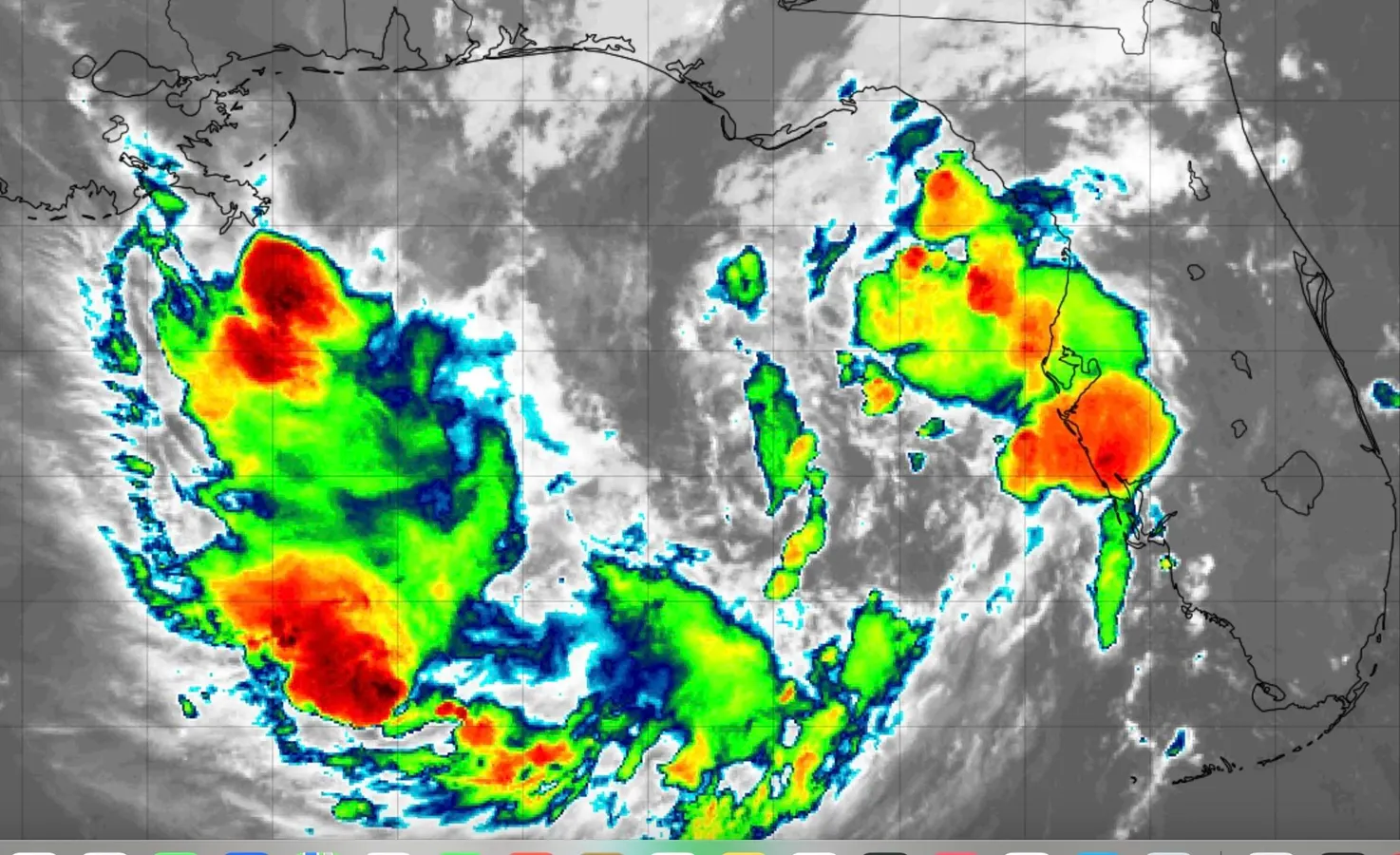
Showers and thunderstorms associated with the disturbance continue to increase with a better-defined center of circulation, all signs of a developing tropical depression. A Hurricane Hunter plane is scheduled to fly into the system Sunday to gather information about its winds, pressure and the weather environment around it.
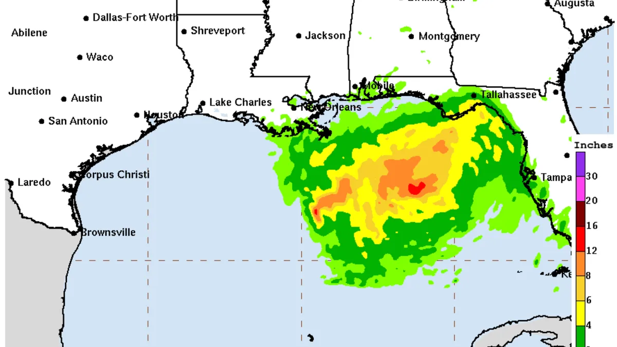
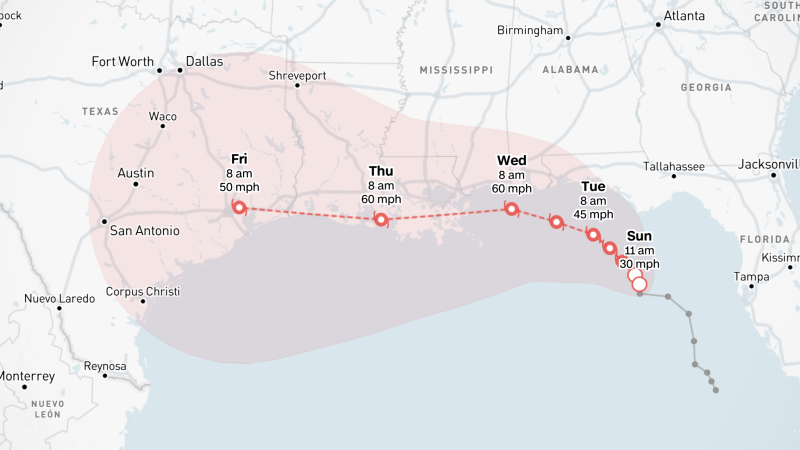
The low is expected to slowly move northwestward over the coming 48 hours, sending rain bands onshore from the west coast of Florida through the Big Bend and the coast of Alabama, Mississippi and later Louisiana. These can bring quick tropical downpours that lead to flash flooding and gusty winds. Some parts of the Florida Panhandle could see 4 to 6 inches of rain through Thursday.