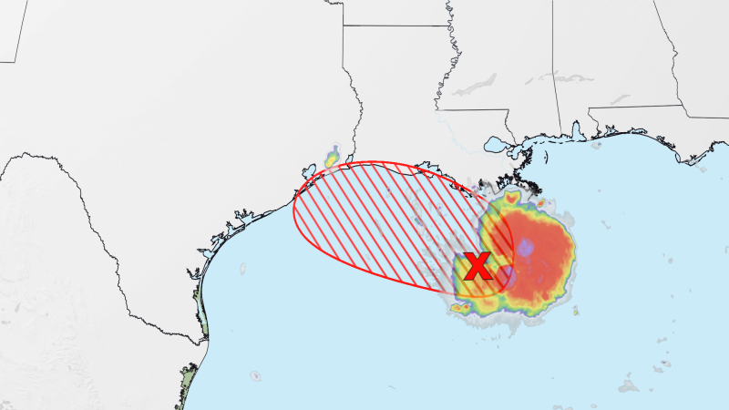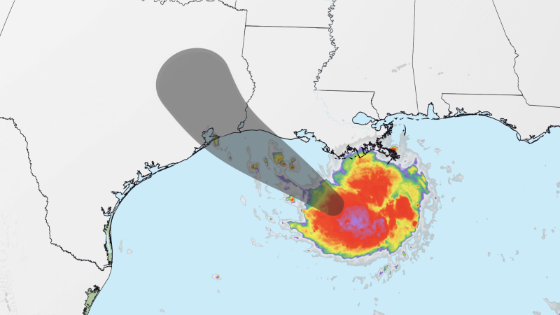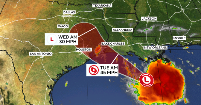
Tropical Storm Warning flags were flying today on the Gulf Coast of southeast Texas and southeast Louisiana ahead of the expected arrival on Tuesday of Tropical Depression Five (TD 5), which was designated a tropical depression at 2 p.m. EDT Monday. As of 11 a.m. EDT Monday, TD 5 was predicted by the National Hurricane Center to become a tropical storm before its center reaches the TX/LA coast on Tuesday afternoon. The next name on the Atlantic list is Edouard.
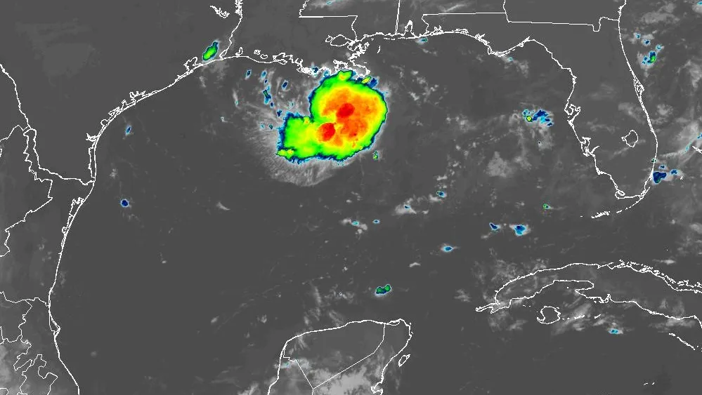
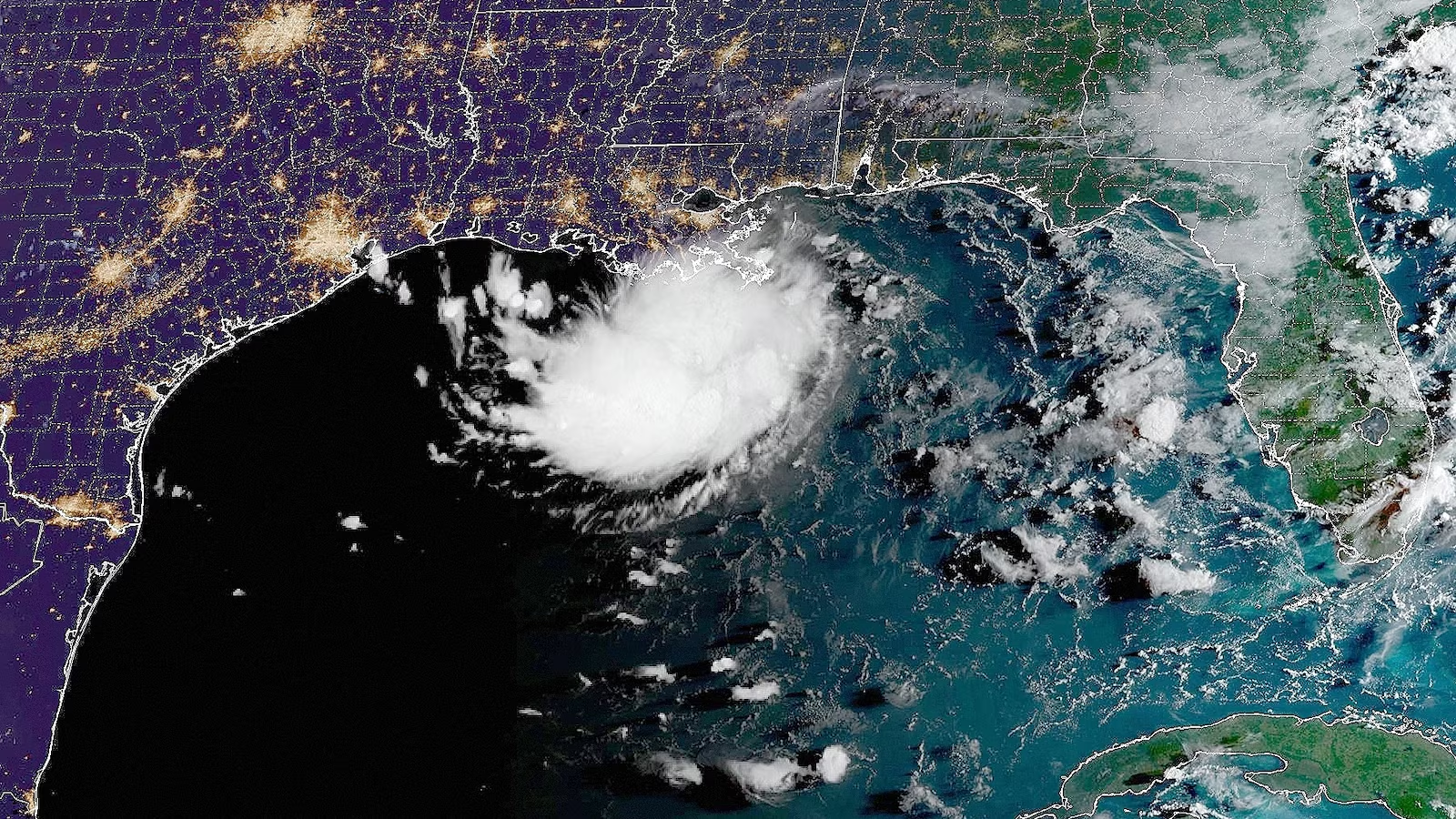
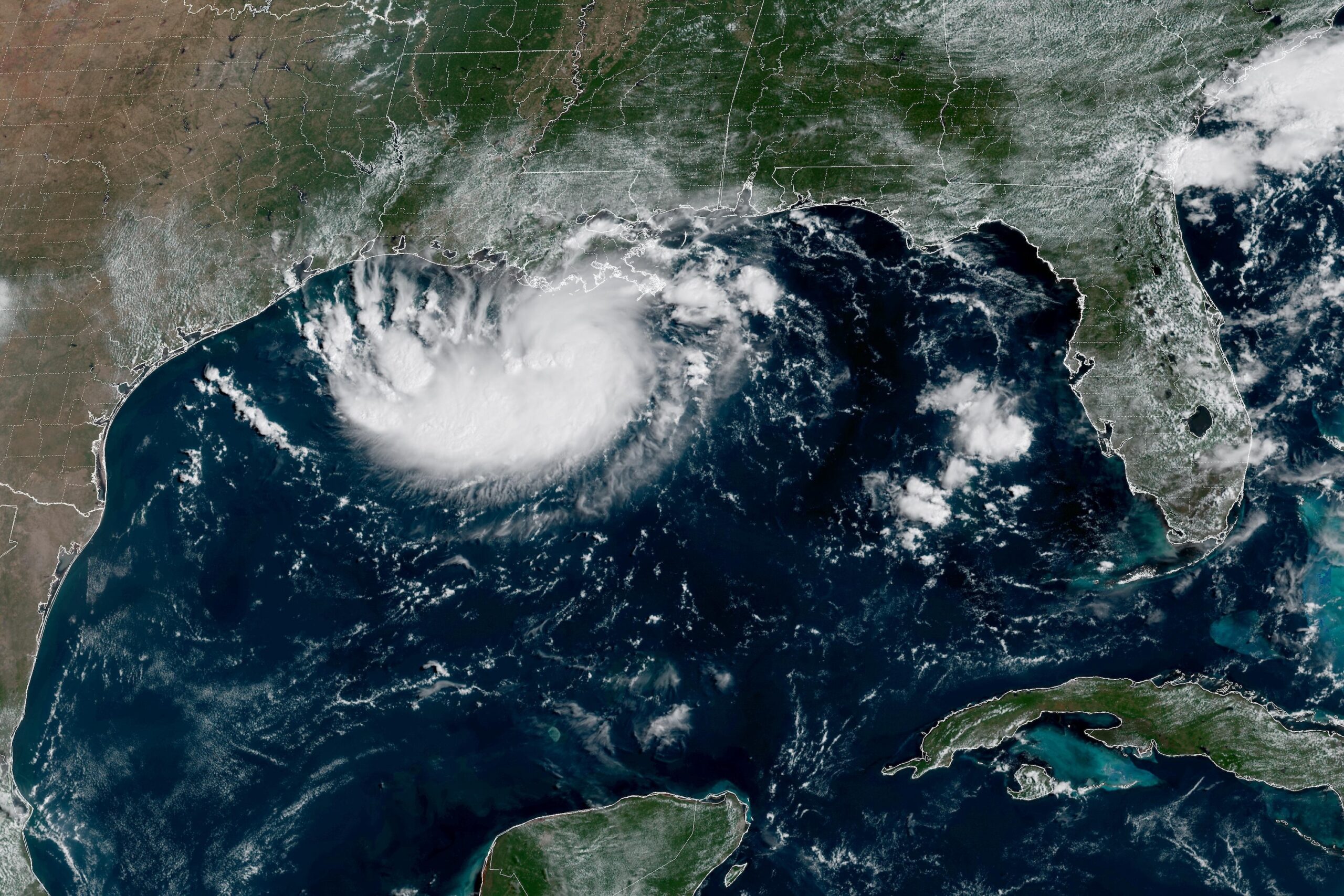
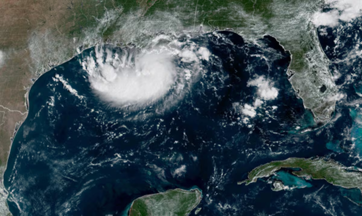
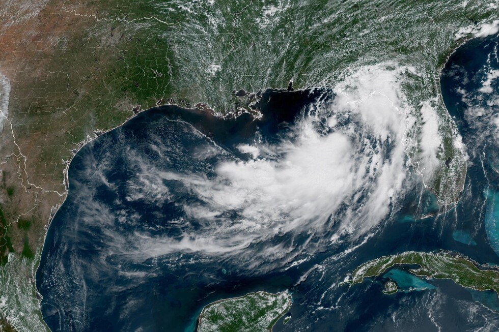
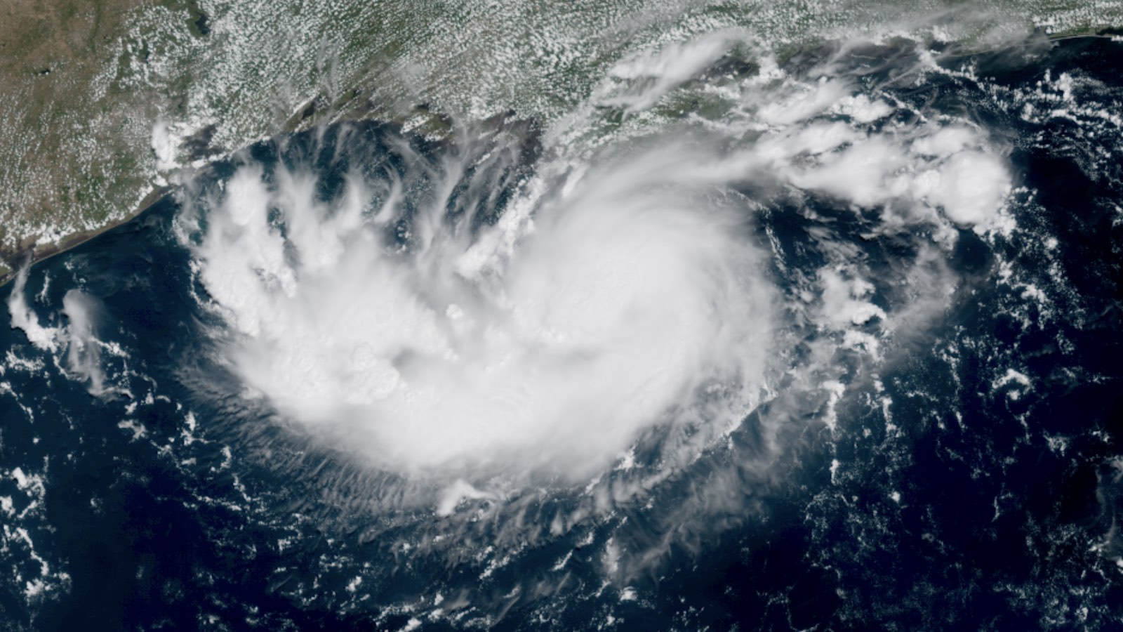
Satellite imagery and Hurricane Hunter transects on Monday morning showed TD 5 to have a closed circulation, albeit a weak and elongated one, with top sustained winds of only 35 mph (55 km/h). As seen in the image at top, TD 5’s cloud shield was largely focused on its south side. TD 5 is also an unusually small system, with a compact core of showers and thunderstorms that’s smaller than some Great Plains supercell thunderstorms. However, small tropical systems can both intensify and weaken more quickly than big ones.
#BREAKING: We now have Potential Tropical Cyclone Five in the Gulf. #PTC5 is forecast to become Tropical Storm #Edouard and make landfall in SE Texas or SW Louisiana on Tuesday. A hurricane can’t be ruled out. Residents there should be preparing for tropical storm force winds,… pic.twitter.com/v7mZUhYfgC— Dylan Federico (@DylanFedericoWX) August 31, 2026