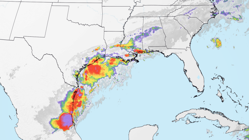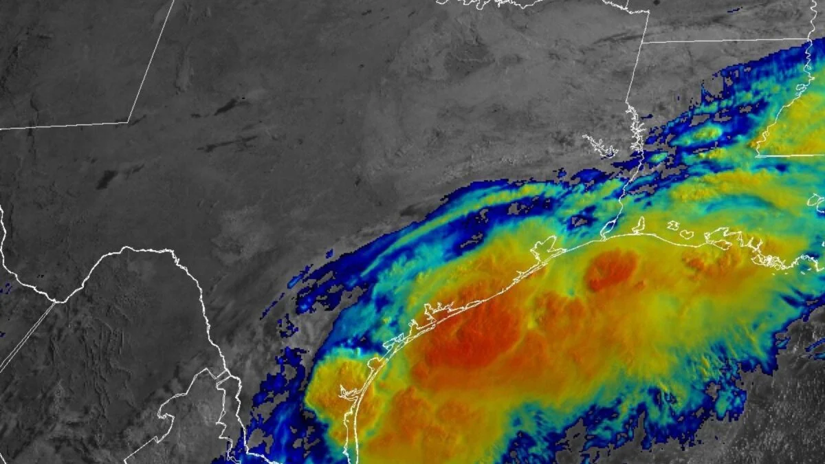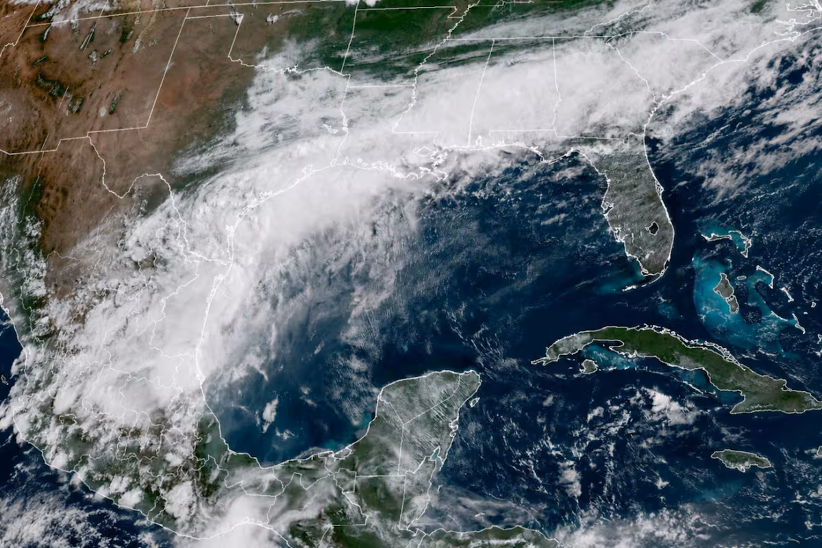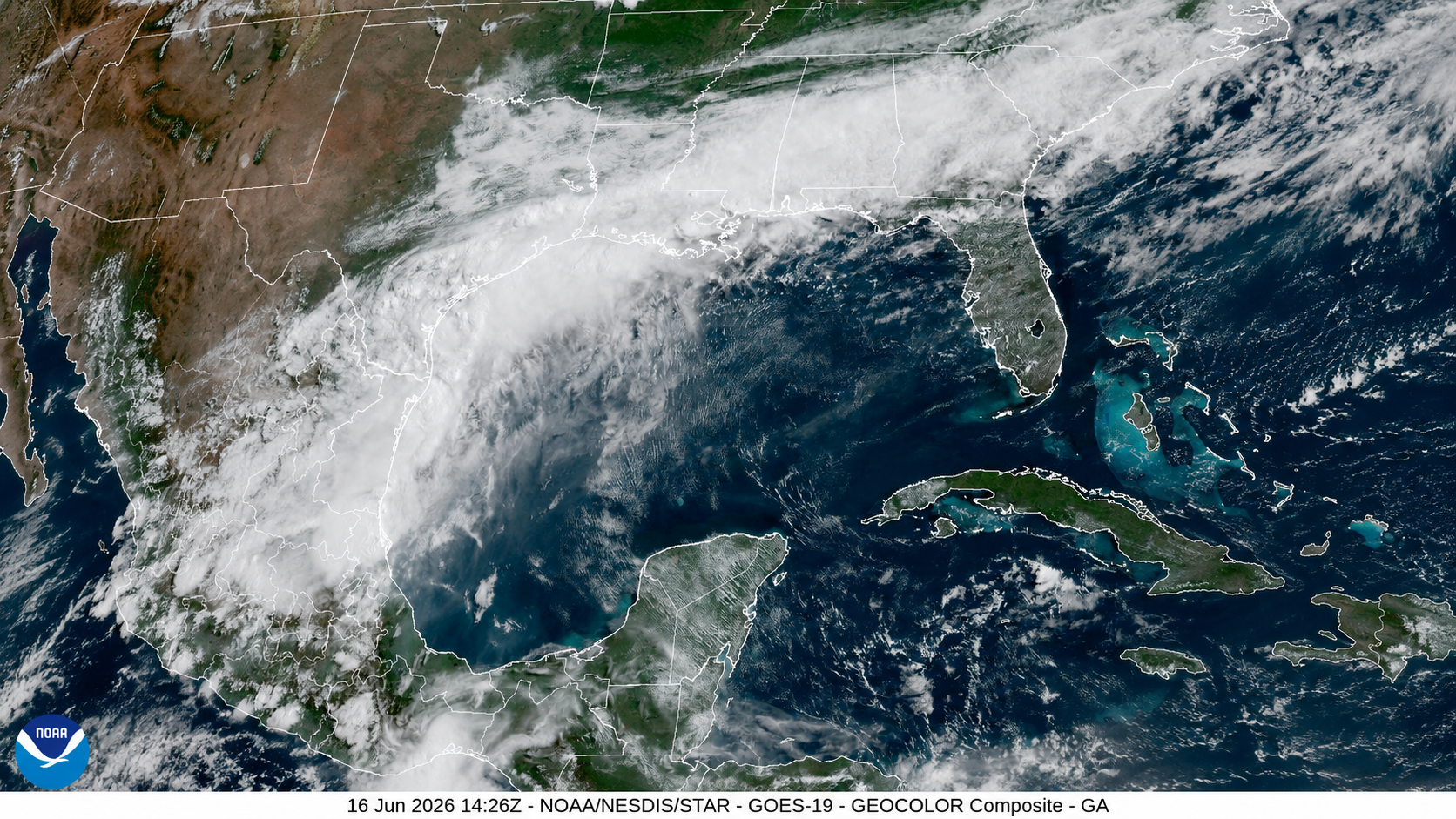
Tropical Storm Watches are flying for portions of the Upper Texas and southwestern Louisiana coasts as a slow-moving tropical disturbance located just inland along the south Texas coast on Tuesday morning could move offshore and develop into a tropical storm before heading back over land later this week. Heavy rains have already drenched this flood-prone area well ahead of the tropical disturbance, and additional totals could exceed 10 inches by late this week.
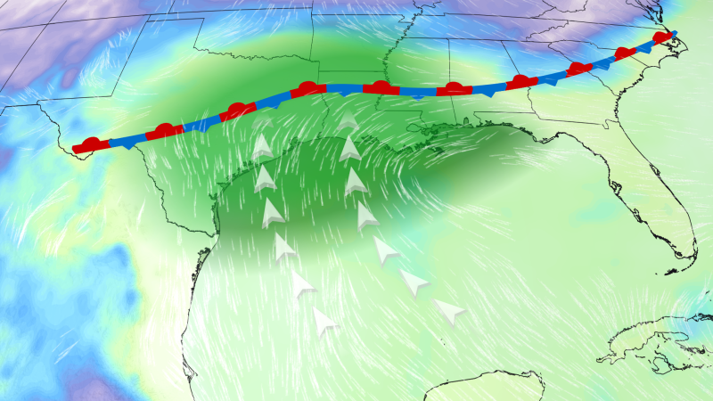
Invest 90L, which was officially designated Potential Tropical Cyclone One at 11 a.m. EDT Tuesday by the National Hurricane Center, is a disturbance being monitored for potential tropical development and has been under observation for several days. The NHC designates this as a Potential Tropical Cyclone (PTC) because it is not yet a tropical depression or tropical storm (with a well-defined center of circulation) but is close enough to land to produce significant impacts. The PTC designation allows the issuance of tropical storm watches and warnings.
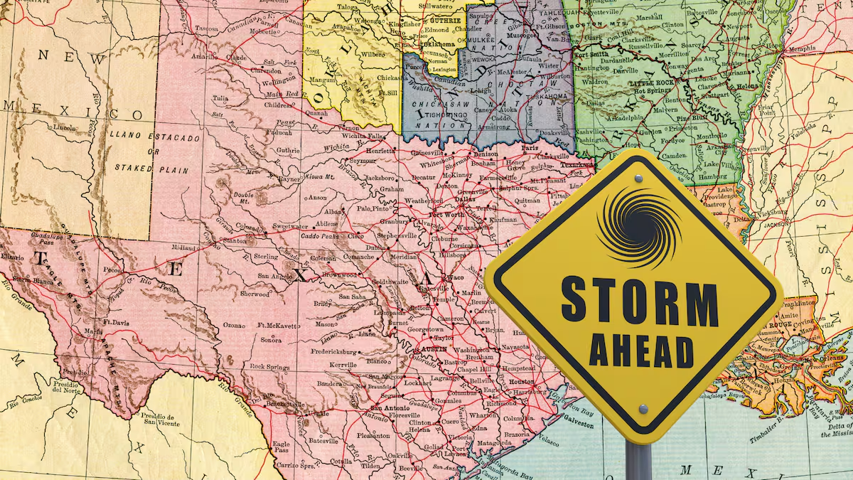
The name itself will not be as important as the impacts it could bring to the Texas Coast and possibly other parts of the Gulf Coast this week, even before it could officially be named Arthur. For reference, on average (1991–2020), the first named storm of the Atlantic hurricane season receives its name by June 20. Regardless of whether this system officially receives a name or remains a Potential Tropical Cyclone, residents along the Gulf Coast should remain prepared for heavy rainfall this week. Flooding will be a significant threat and could become life-threatening very quickly.