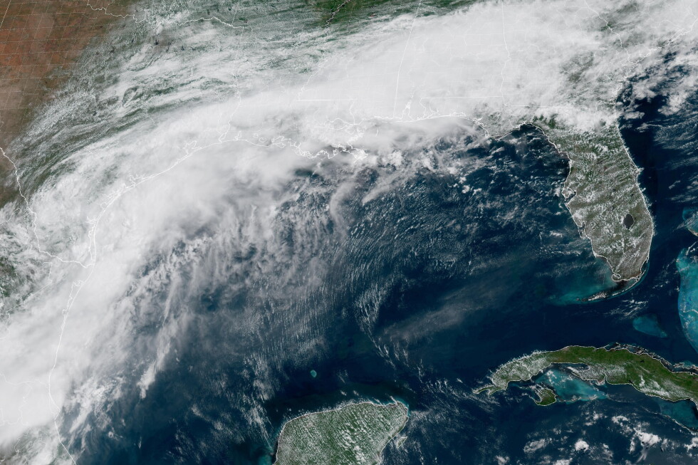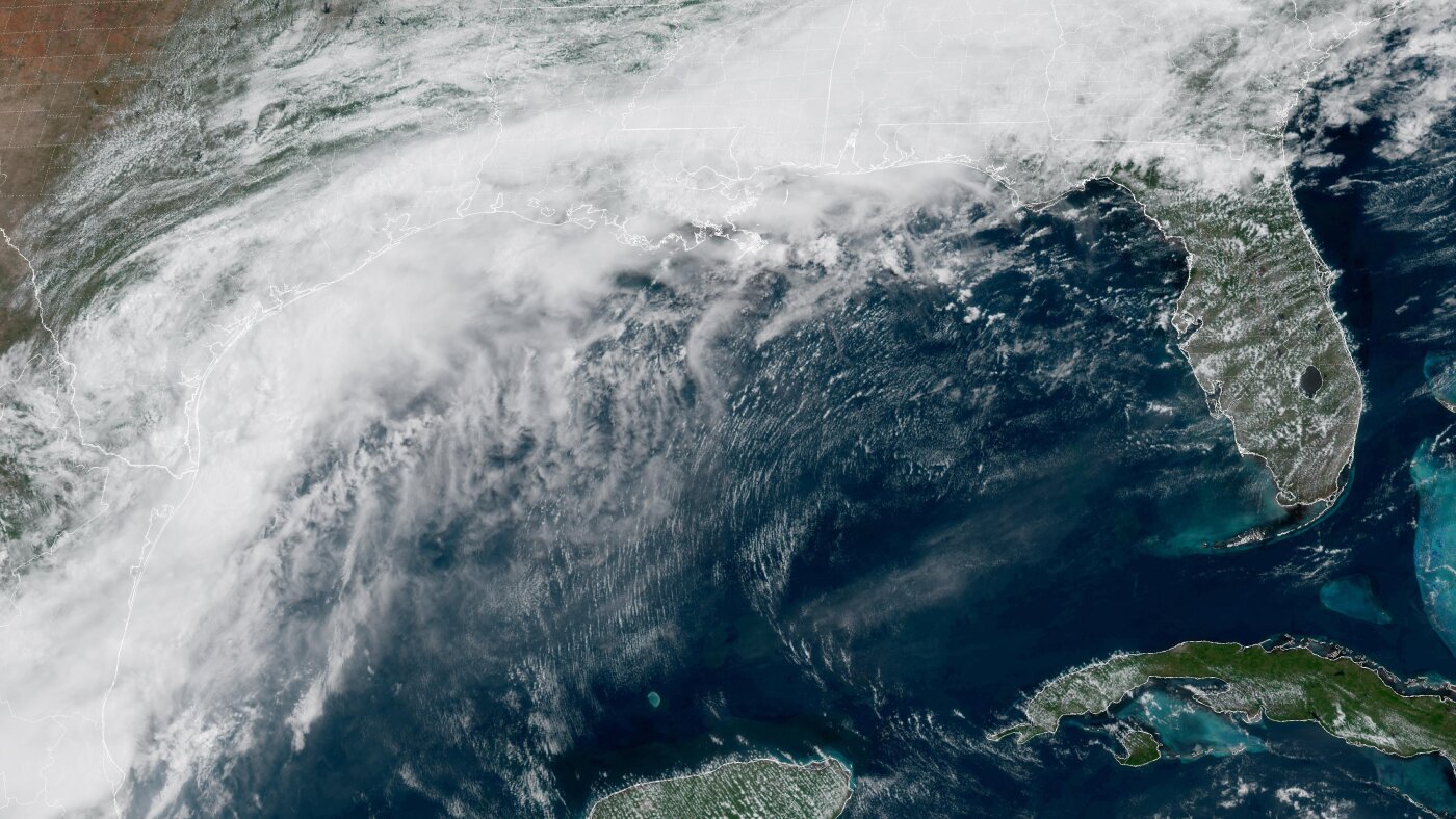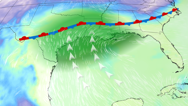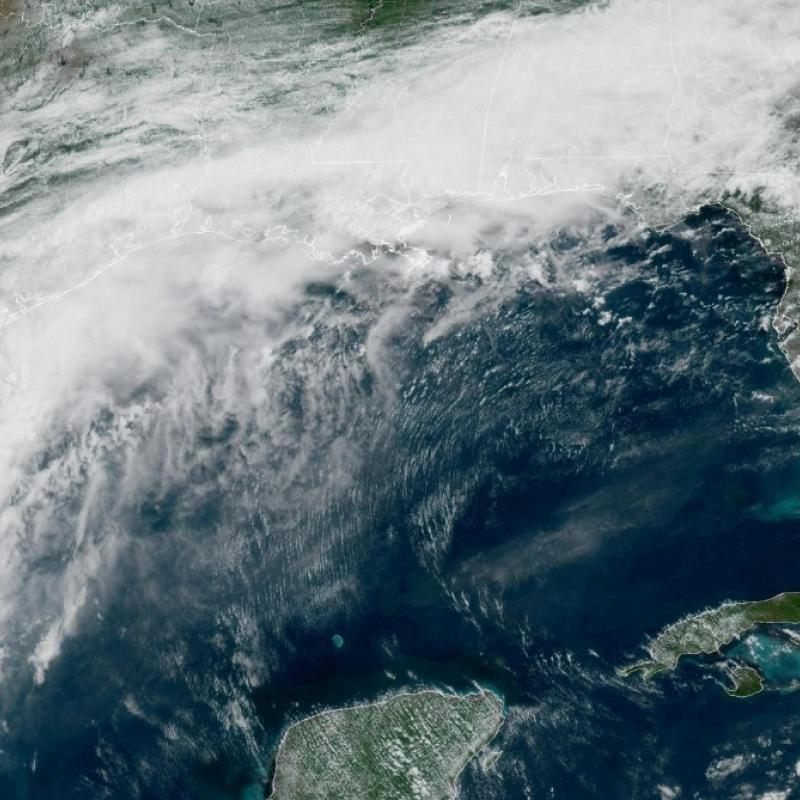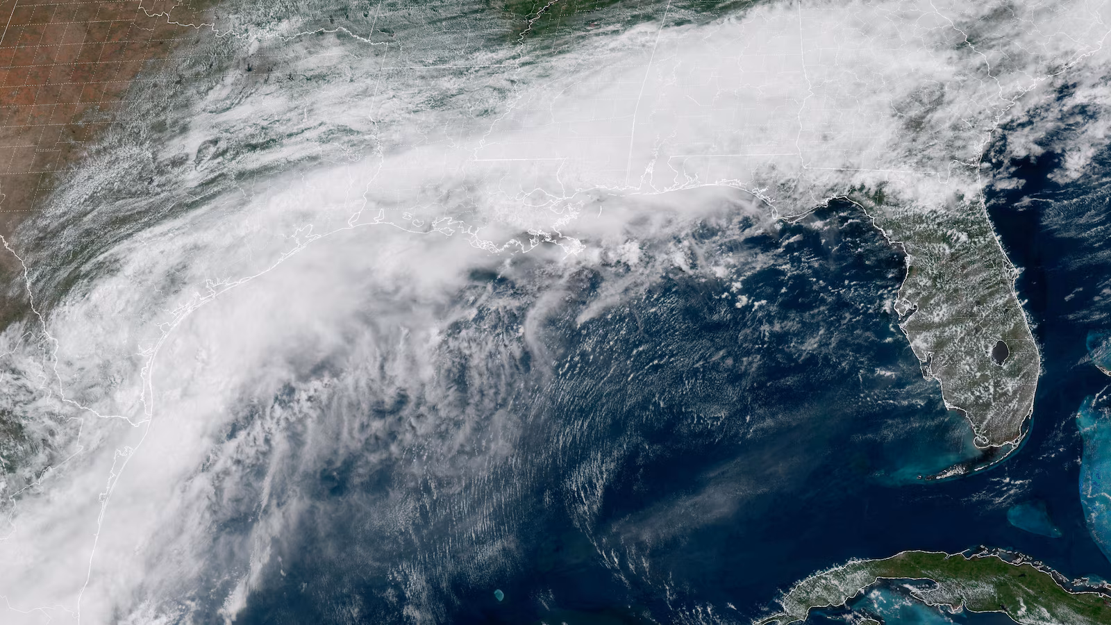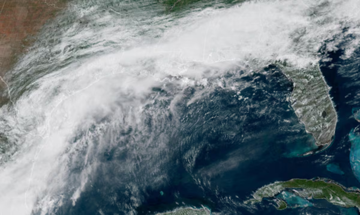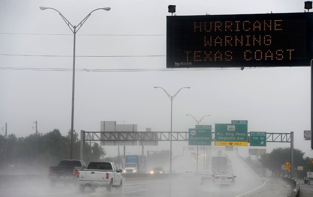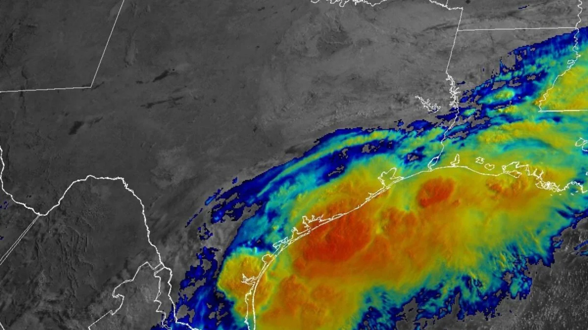
The National Hurricane Center is keeping a close eye on a disturbance over South Texas that could soon become the first tropical storm of the Atlantic hurricane season. Federal forecasters expect multiple days of heavy to “prolific” downpours to drench much of the South, bringing a “considerable flood threat” to the region. As of 8 a.m. ET on Tuesday, the system was producing a large area of disorganized showers and thunderstorms centered over South Texas, according to the NHC. Forecasts show it tracking northeastward along the Texas coast and potentially emerging over the northwestern Gulf of Mexico by the afternoon or evening. There’s a 60% chance that this disturbance will organize into a tropical cyclone within the next 48 hours, but its development will depend on how long it lingers over warm Gulf waters, meteorologist Ben Noll reports for the Washington Post. If the system does develop into a named storm, it will be called Arthur. But “[r]egardless of tropical cyclone formation, interests across southern and eastern Texas, southern portions of Louisiana and Mississippi should prepare for periods of intense rainfall over the next several days, which could produce widespread, life-threatening flash, urban, and river flooding,” the NHC stated in an update early Tuesday morning.
Potential Tropical Storm Could Bring a Major Flood Threat to the South
The first tropical storm of the Atlantic hurricane season appears to be forming over South Texas, raising the risk of "prolific" rainfall across multiple states.
741 words~3 min read