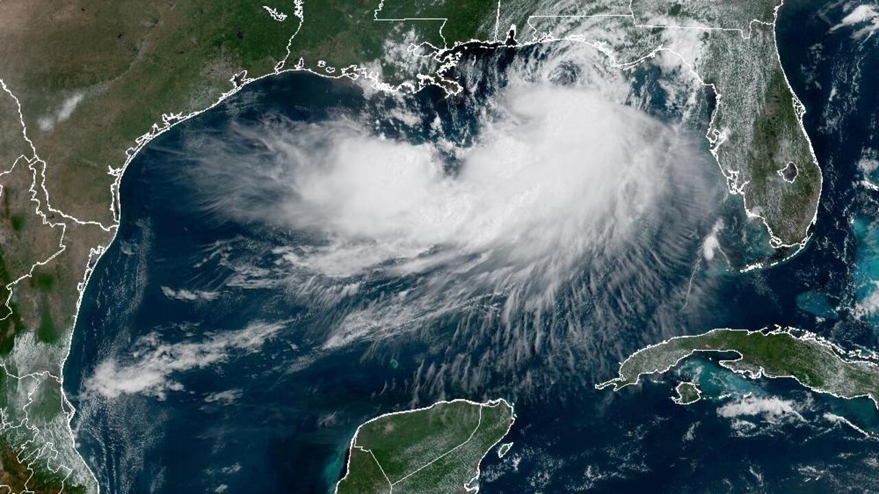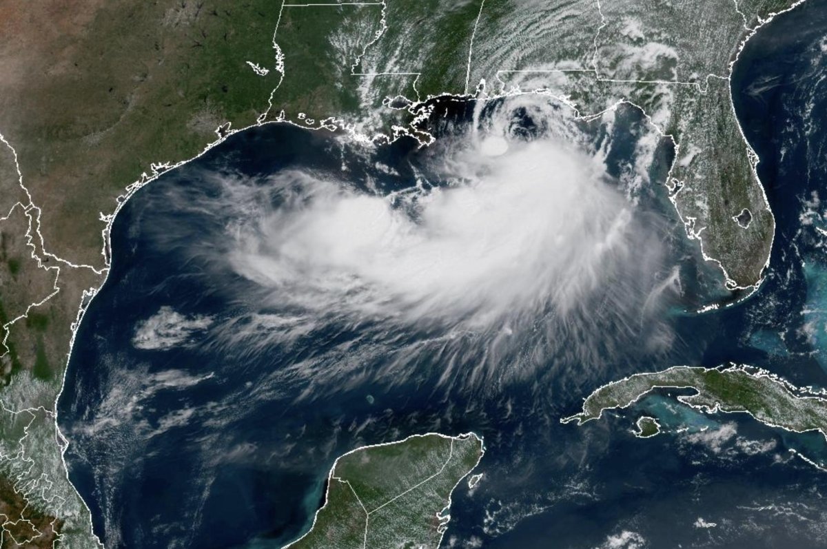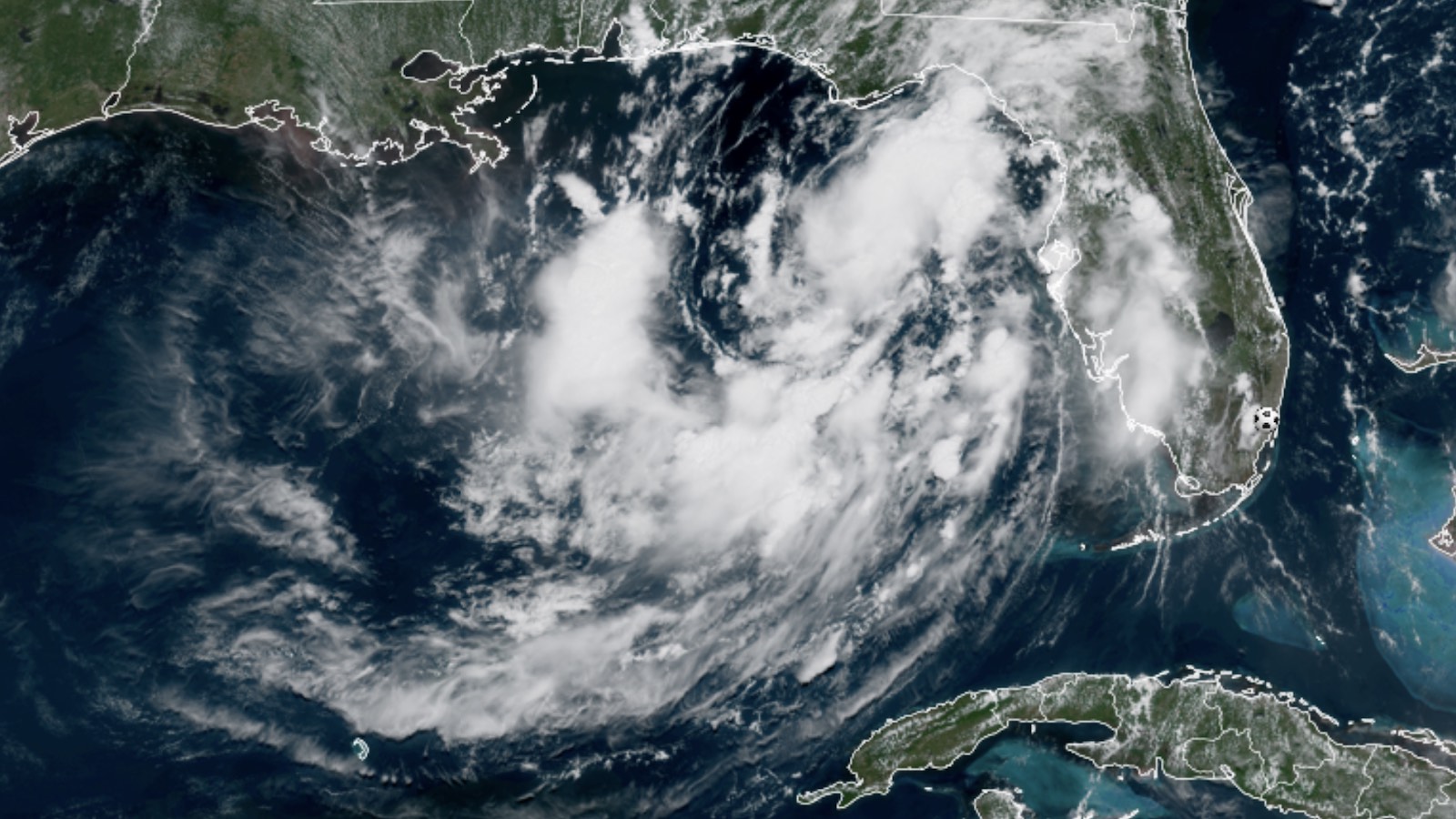
Visible-wavelength satellite image of Tropical Depression 2 at 1700Z (1 p.m. EDT) Sunday, July 19, 2026. (Image credit: RAMMB/CIRA/CSU)
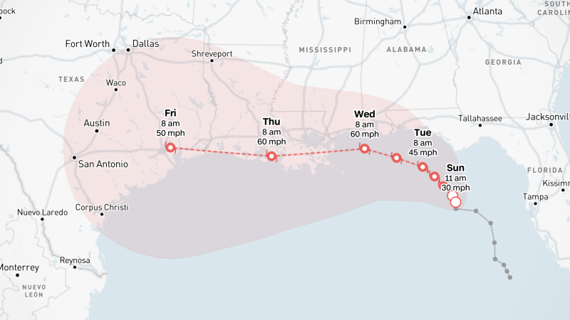
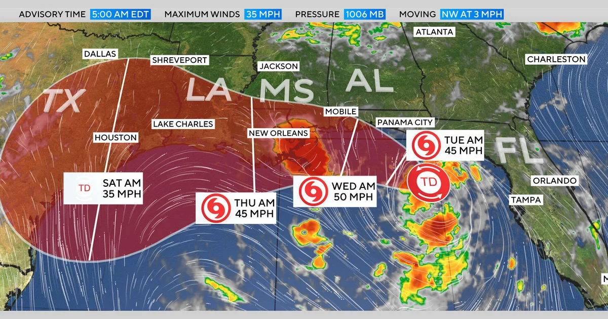
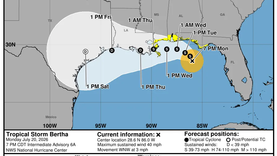
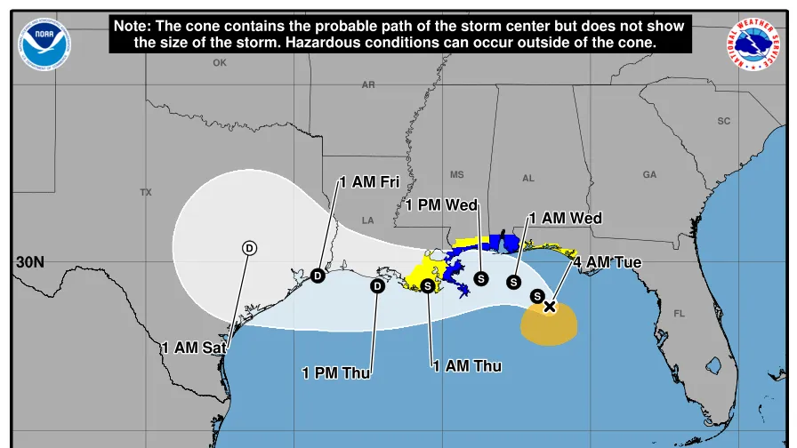
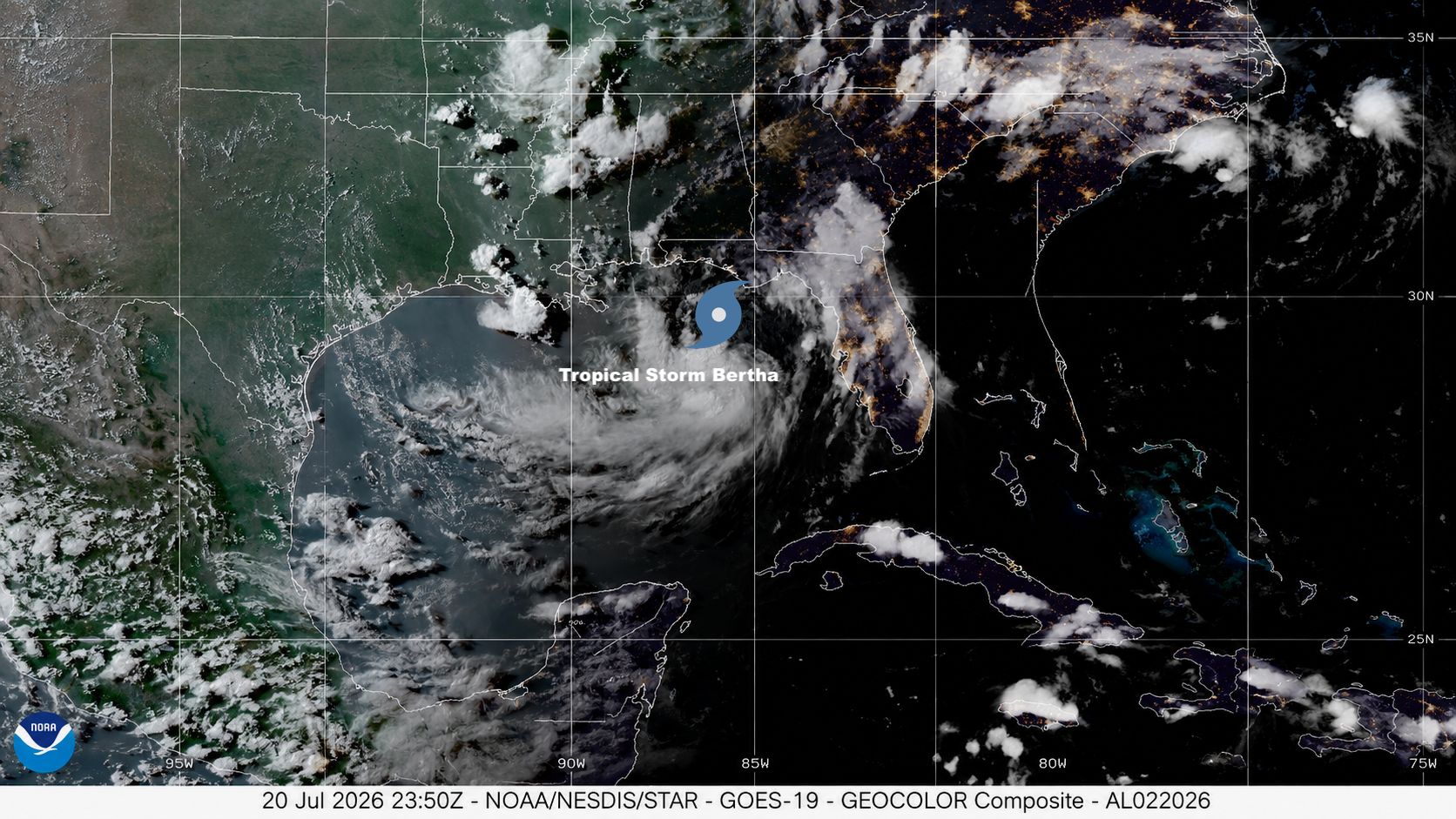
A tropical storm watch was issued for the western Florida Panhandle on Sunday, July 19, after large but disorganized circulation over the northeast Gulf of Mexico was designated Tropical Depression 2 by the NOAA/NWS National Hurricane Center on Sunday morning. Although it may struggle to approach hurricane strength, TD 2 could develop a core of torrential rain as it sloshes toward the Louisiana coast by midweek. Moisture from the system may eventually stream into a frontal zone and feed intense rainfall over parts of Virginia and the Carolinas.
As of 2 p.m. EDT Sunday, TD 2 was centered about 170 miles south-southeast of Panama City, Florida, drifting northwest at a mere 1 mph (2 km/h). The depression’s top winds were only 30 mph (45 km/h). TD 2’s central pressure was a relatively high 1011 mb, and the storm’s large circulation was minimizing the pressure contrast between TD 2’s weak center and the surrounding environment, thus keeping the winds light.
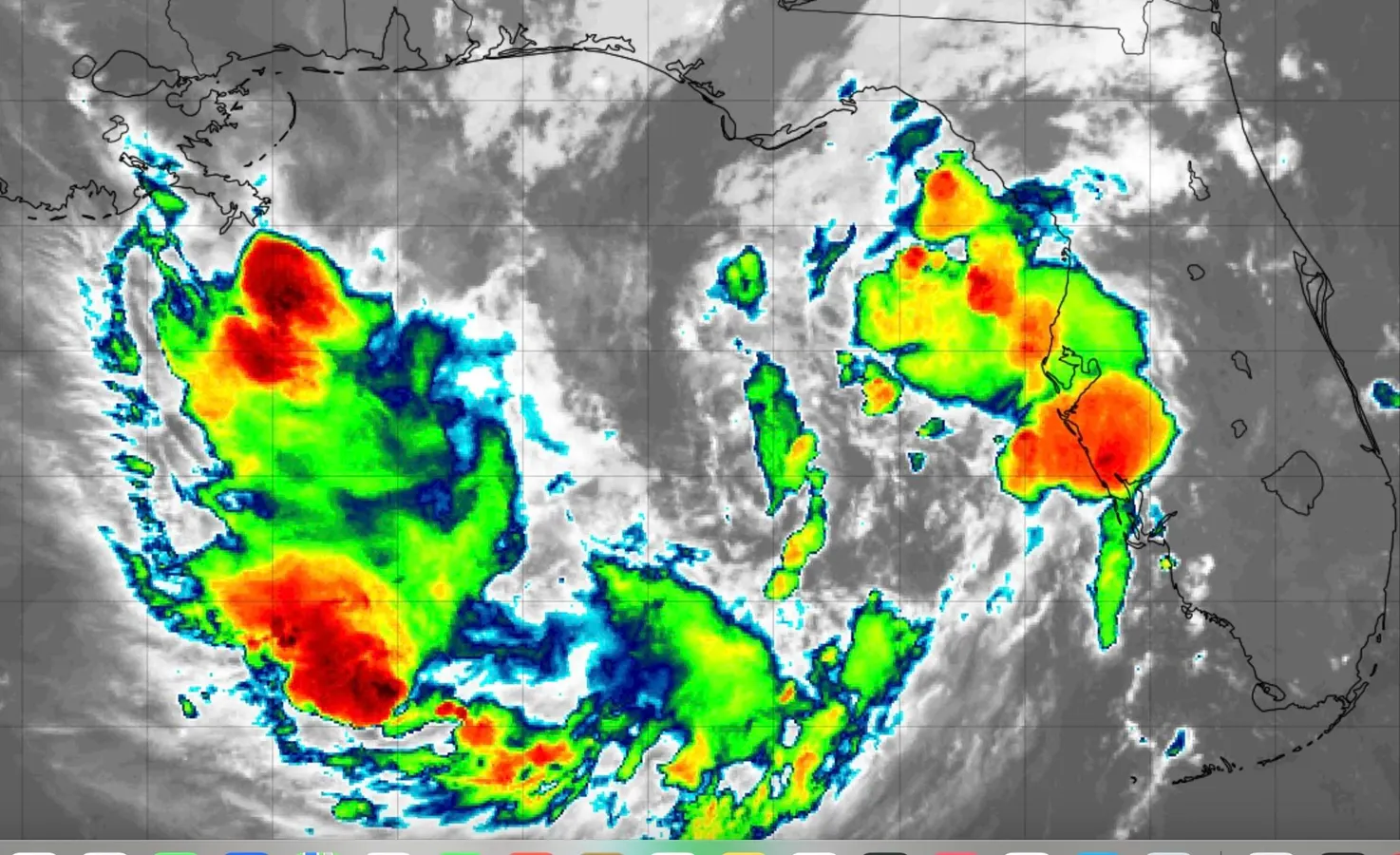
Despite its unimpressive winds, TD 2’s large circulation was fairly well organized on satellite. Showers and thunderstorms (convection) were widespread across the northeast Gulf at midday, when day-to-day marine convection is often subdued after its typical nighttime peak. Over the past several days, heavy rains on the eastern fringe of TD 2’s circulation have hit parts of the southwest and west central coast of Florida. Totals ranged from 1 to 3 inches in Sarasota and Venice counties for the 24 hours ending Sunday morning, and there were several 3-day totals in the 6-7 inch range just west of St. Petersburg.