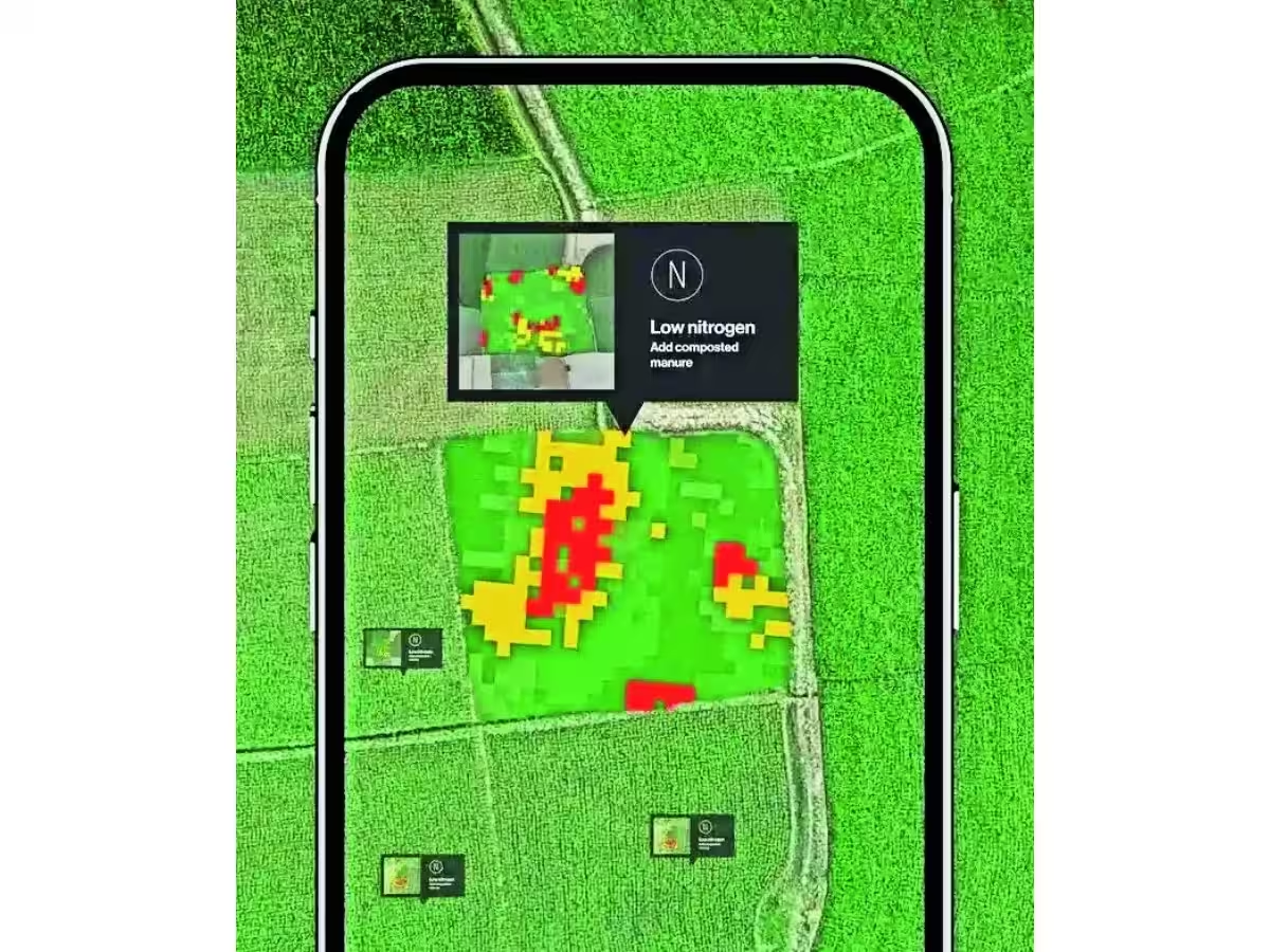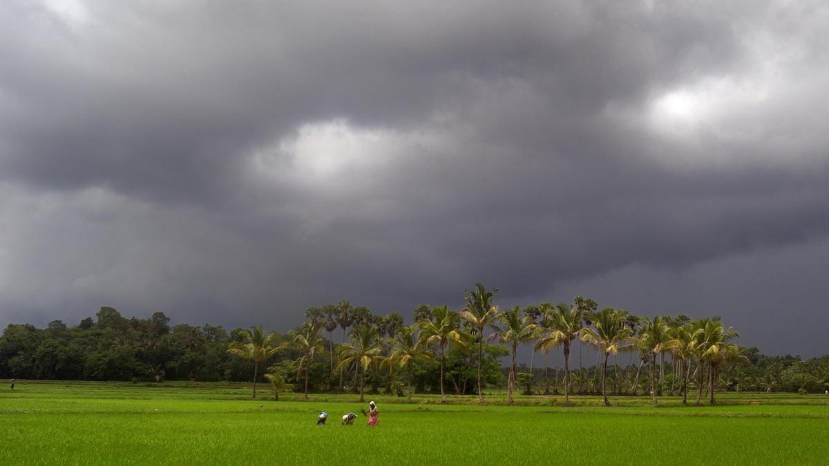
Every kharif season, farmers in India make decisions under extreme uncertainty. They do not know when the rains will arrive or what they might bring. For most of India’s 146 million agricultural households, the question is answered by instinct and rarely by real-time data gathered from above the fields themselves.That gap isn’t a lack of ambition. It’s a gap in infrastructure. The solution that could fill it has been in the layer of sky directly above India’s farmland for decades: the stratosphere.A layer of sky we have not usedBetween where aircraft stop flying and where satellites start orbiting, there’s a layer of sky people are only just starting to call near-space. It sits 20 to 40 kilometres up, and for generations it had just been empty space. But it is unclaimed infrastructure.Near-space platforms can dwell over a region for weeks to months, on a cost structure distinct from satellite infrastructure. It would also ease monitoring through a continuous data stream that complements periodic satellite observations.The Stratospheric Solution to Agriculture Concerns India cultivates over 157 million hectares of farmland. Yet these agricultural lands still have gaps in observational capabilities at the required resolution and frequency. A persistent stratospheric platform with high-resolution optical sensors could continuously monitor crop health. Its coverage could span multiple districts, detecting stress patterns, irrigation issues, and pest infestation days before ground surveys would detect them.When it comes to agriculture, connectivity and disaster management are key areas where stratospheric platforms can make a significant difference, and they can be addressed efficiently from near-space. Designed to be airborne in weeks, then recovered, serviced, and redeployed, this is a transformation in how we see and serve our land.Consider a farmer in a rain-fed district. He has no way to receive real-time crop data or to have his fields monitored remotely. Because stratospheric platforms sit much closer to the ground, a standard smartphone can hold a usable connection without specialised hardware. Think of connectivity services as a relay: ground networks do the first round, fast but limited in reach. Satellite networks run the second, covering vast distances, but from far back.The same persistence could transform disaster response. Delayed flood warnings, damage assessments, and insurance settlements remain a significant source of unrealised relief for farming communities each year. Unlike satellite systems bound to fixed orbital passes, a stratospheric platform can be pre-positioned ahead of a forecast for a natural disaster, offering a speedier response that ground and orbital systems cannot match. It could deliver near-real-time aerial imagery to relief agencies and enable more precise damage assessment.The infrastructure layer India needs to buildIndia has made extraordinary investments in its agricultural future: irrigation, digital public infrastructure, market linkage, weather forecasting. Each would yield more if the aerial layer above India’s farms matched the capabilities of the ground infrastructure below.Near-space is not a technology demonstration. It is a category of infrastructure several advanced economies have begun building in earnest. India has the engineering talent and institutional ambition to lead here. It is time it got the urgency it deserves.India’s farmers have always looked to the sky for answers. It’s time the sky looked back.The author is Co-founder and CEO, Red Balloon AerospacePublished on July 12, 2026
The farm above the clouds: What near-space can do for Indian agriculture
Explore how near-space technology can revolutionize Indian agriculture by providing real-time data for better decision-making and disaster management.
531 words~2 min read