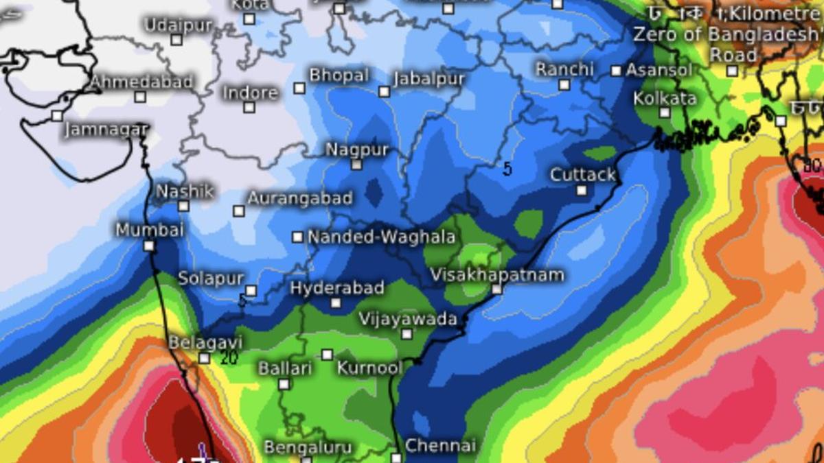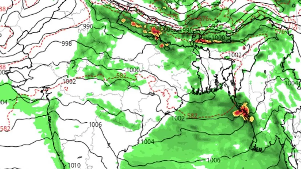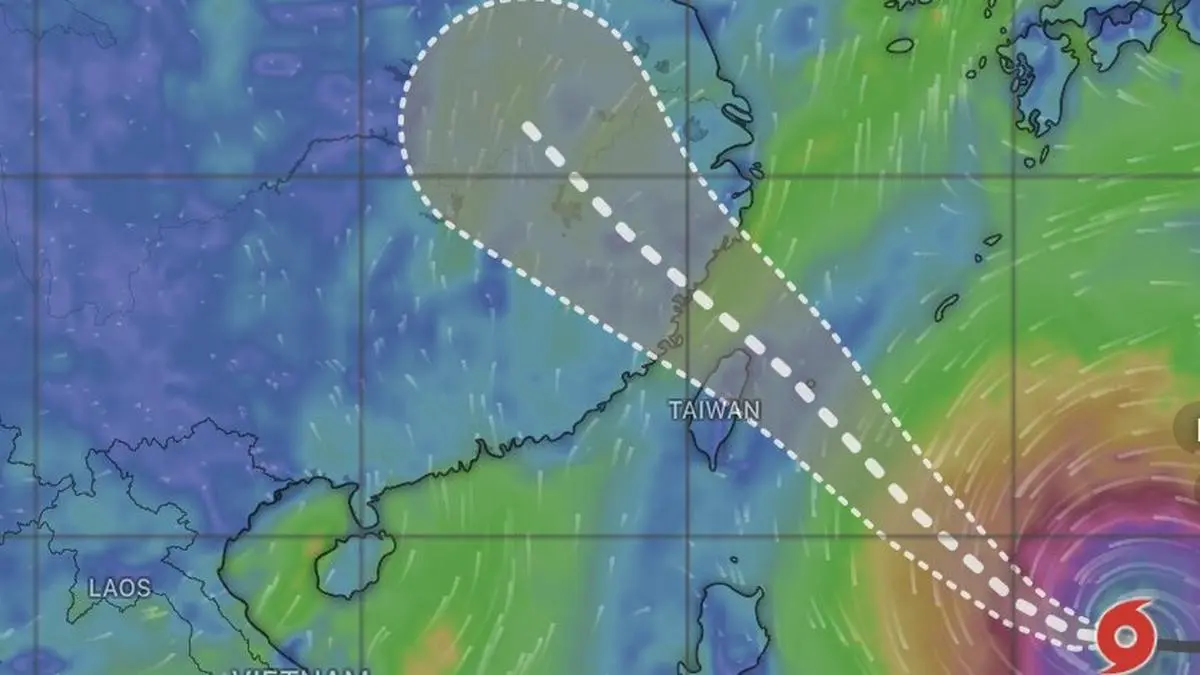
Powerful typhoon Bavi in the West Pacific is drawing a part of the monsoon flows to itself, resulting in the changed rainfall pattern over India, with heavier rains starting to shift to northern parts.
| Photo Credit:
www.windy.com
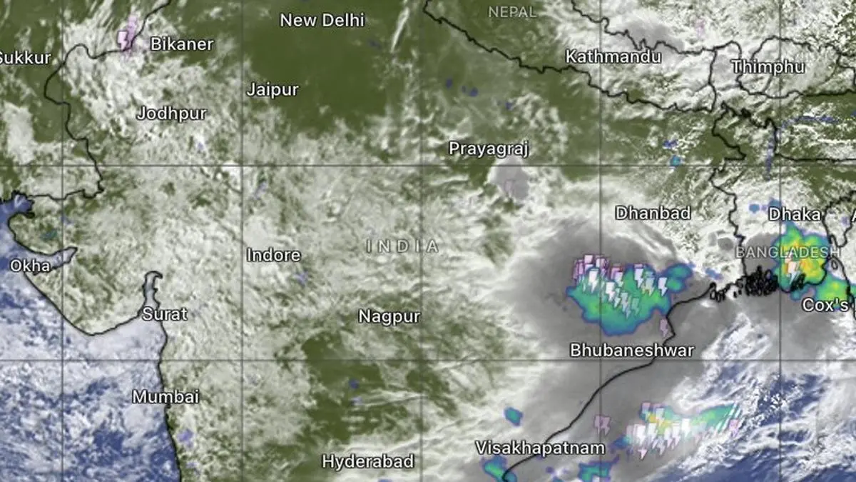
The immense circulation of West Pacific Typhoon Bavi is beginning to leave its imprint thousands of kilometres away over the Indian subcontinent, temporarily diverting the monsoon flows as the two tropical weather systems compete for moisture drawn from the same warm oceanic reservoir.Although Bavi has weakened a notch to a Category 4 storm on the five-step Saffir-Simpson scale, it remains a powerful cyclone as it sweeps past the Philippines on course for Taiwan and southern China. Satellite imagery vividly captures the atmospheric tug-of-war: broad swathes of south-westerly winds from the Bay of Bengal are being siphoned into the South China Sea and the western Pacific to sustain the typhoon’s vast circulation.Twin-landfall prospectsGlobal weather models indicate that Bavi will steadily weaken to Category 2 before striking Taiwan on Friday and making a second landfall over southern China on Saturday. Until then, the Indian monsoon is likely to remain deprived of part of its moisture supply, with the Bay effectively sharing its atmospheric bounty with typhoon.The picture is expected to change once Bavi moves inland and begins to decay over China. As it loses its grip on regional wind flows, the southwesterlies are forecast to curve back into the Bay, creating conditions favourable for formation of yet another cyclonic circulation or low-pressure area over the West Bengal-Bangladesh coast during the weekend. Such a development could reinvigorate monsoon activity over East and North-East India.Evolving rain patternThe evolving pattern is already reflected in the India Meteorological Department’s (IMD) rainfall outlook. Heavy to very heavy rainfall, with isolated spells of extremely heavy rain, is forecast over the hills of West Bengal and Sikkim on Wednesday, underscoring the eastward shift in the monsoon’s immediate focus.Further north, fairly widespread to widespread rainfall is expected over Jammu-Kashmir-Ladakh during next five days, and over Himachal Pradesh and Uttarakhand for seven days. Similar conditions are forecast over Haryana, Chandigarh, Delhi, Punjab and East Rajasthan for two days; West Uttar Pradesh for three days; East Uttar Pradesh for three days beginning Saturday; and East Rajasthan through today and tomorrow. Centra and South IndiaAcross Central India, widespread rainfall is likely over West Madhya Pradesh during the next two days, East Madhya Pradesh for four days, Vidarbha for two days and again on Monday, with Chhattisgarh also expected to come under widespread monsoon showers on Monday.In the south, Kerala and Mahe are likely to experience fairly widespread to widespread rainfall over next four days. Similar conditions are forecast over Lakshadweep and North Interior Karnataka on Wednesday, while Coastal Karnataka is expected to remain under widespread monsoon showers through the coming week.Well-marked ‘low’Meanwhile, the well-marked low-pressure area over Central India retained its identity on Friday even as it drifted into north-west Madhya Pradesh and adjoining south-west Uttar Pradesh. The system continued to generate heavy rainfall over Madhya Maharashtra, widespread showers across Konkan and Goa, including Mumbai, and isolated heavy rain over Assam, Meghalaya and other northeastern States.The seasonal monsoon trough stretching across the north-western plains is also favourably aligned for rainfall over the North-Eastern States and the Himalayan foothills extending from West Bengal through Bihar into Uttar Pradesh. While some rain bands may spill into Jharkhand, Chhattisgarh and Odisha, the heaviest rain is expected to remain anchored along the Himalayan foothills.Published on July 8, 2026