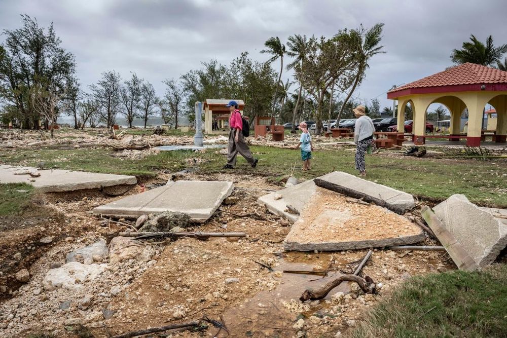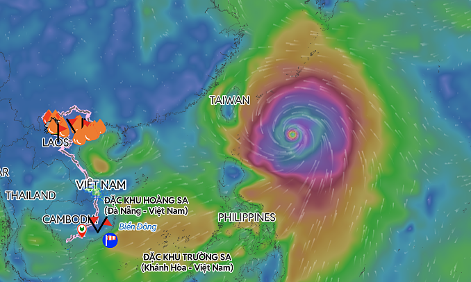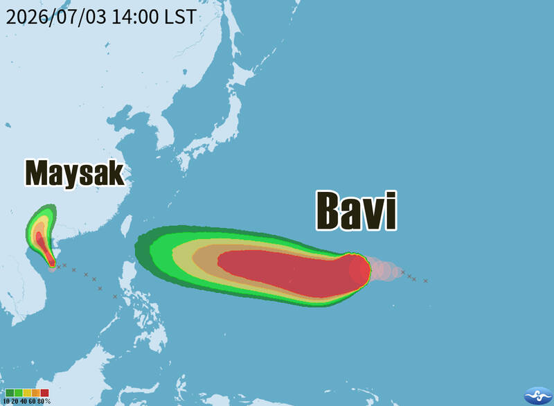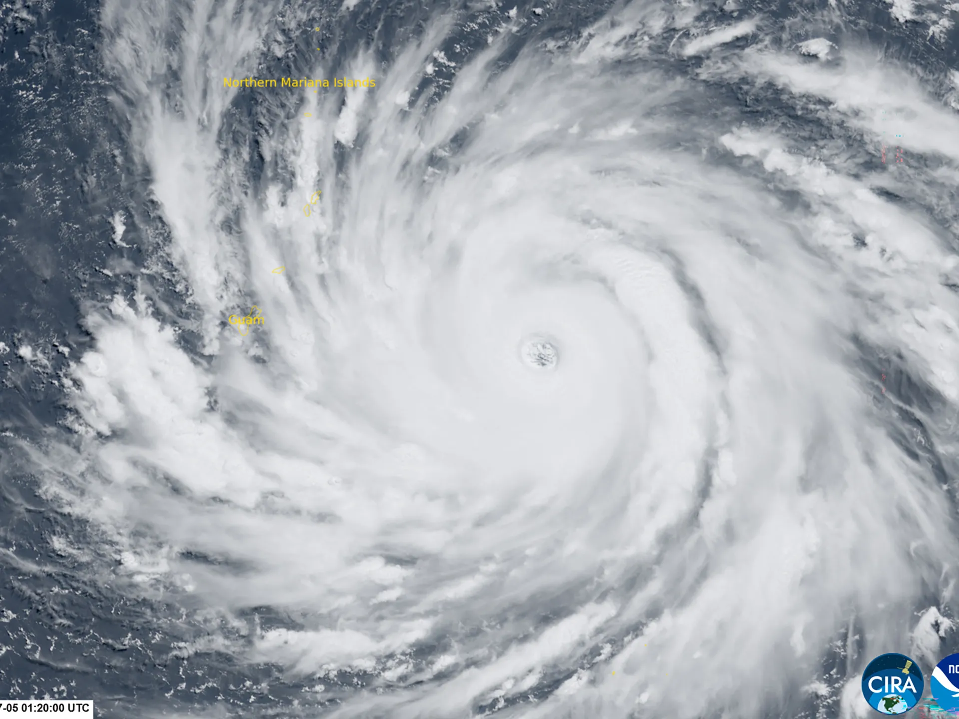
Korean Peninsula unlikely to take a direct hit from the super typhoon as its forecast path shifts toward China People with umbrellas walk through Gwanghwamun Plaza on Tuesday. (Yonhap) South Korea is expected to avoid a direct hit from Super Typhoon Bavi, but forecasters warned Tuesday that the storm's vast size and powerful winds will still bring rough seas, heavy rain and strong winds to parts of the country later this week, particularly around Jeju Island and the southern coast.The Korea Meteorological Administration said Bavi, which battered the US Pacific territories of Guam and Saipan and was continuing on toward East Asia, remained strong as of 3 a.m. Tuesday, with a central pressure of 910 hectopascals and maximum sustained winds of 56 meters per second. The typhoon's field of gale-force winds stretched up to 500 kilometers from the storm's center, while storm-force winds extended 130 kilometers.Bavi is expected to maintain its strength into the afternoon as it moves westward. From Wednesday to Thursday, it is expected to turn northwest while maintaining a central pressure near 910 hectopascals, passing south of Japan before heading toward the waters southwest of Jeju Island. This image shows Typhoon Bavi's expected path as of 4 a.m. Tuesday. (Korea Meteorological Administration) Bavi is expected to weaken slightly by Friday but remain a very strong typhoon as it moves toward the waters southwest of Jeju. It is forecast to move north along China's eastern coast Saturday, maintaining strong intensity with winds of 51 meters per second.The KMA said Bavi is expected to weaken further by Sunday, with maximum winds easing to 35 meters per second.Authorities, however, said the storm could still affect weather conditions over the Korean Peninsula as it continues moving northwest, urging the public to closely monitor the latest forecasts.
Rough seas, stormy weather loom as Korea feels effects of Super Typhoon Bavi
South Korea is expected to avoid a direct hit from Super Typhoon Bavi, but forecasters warned Tuesday that the storm's vast size and powerful winds will still b
296 words~1 min read