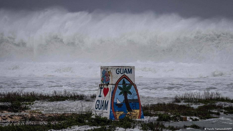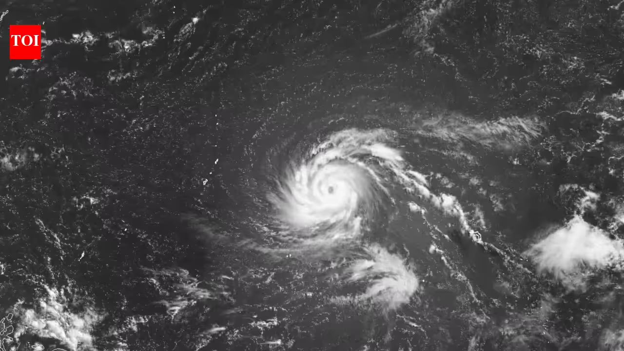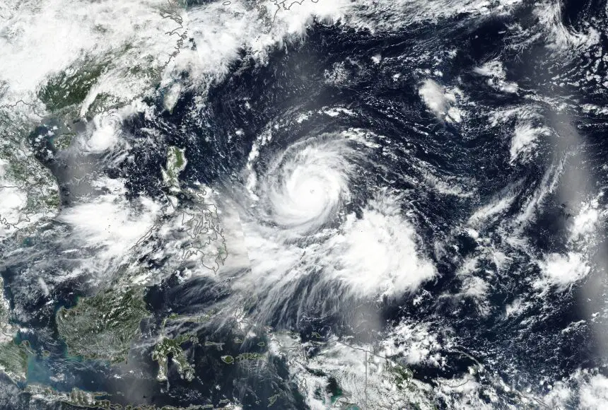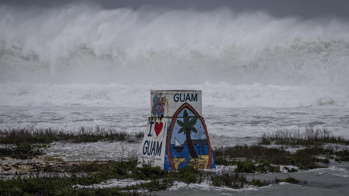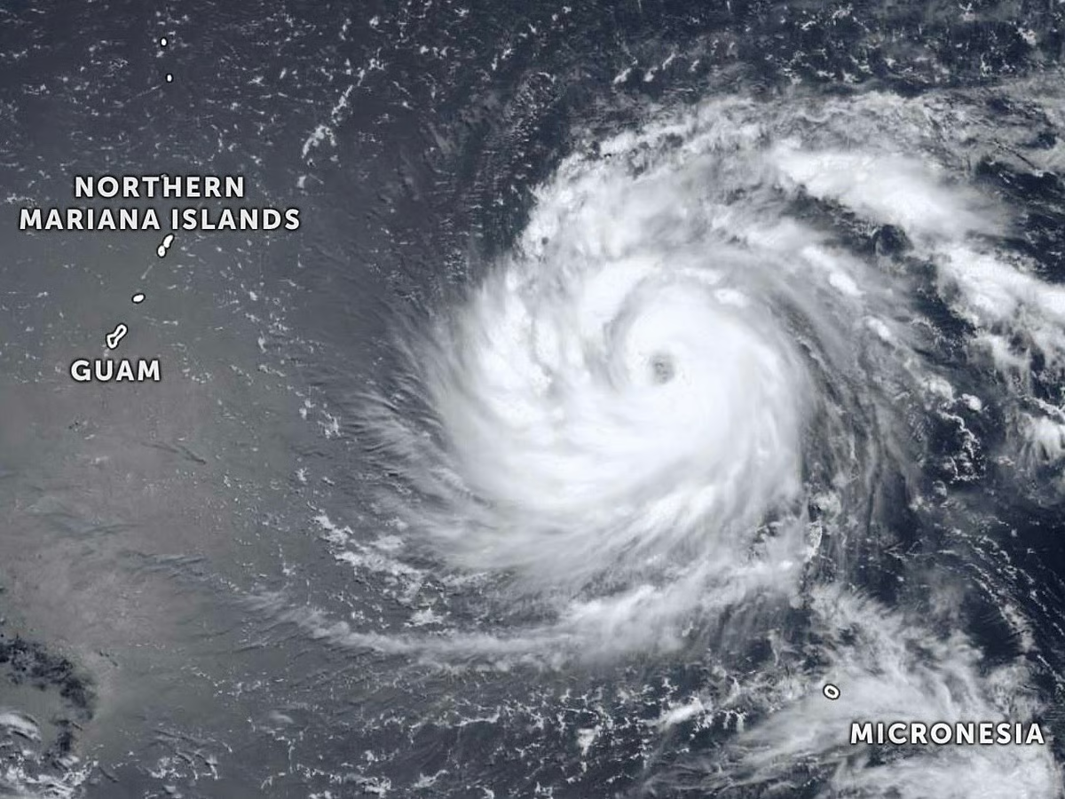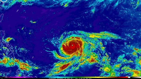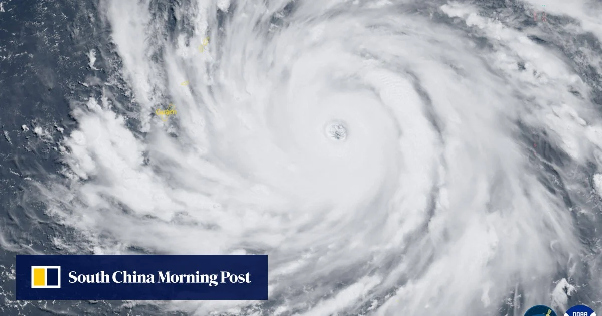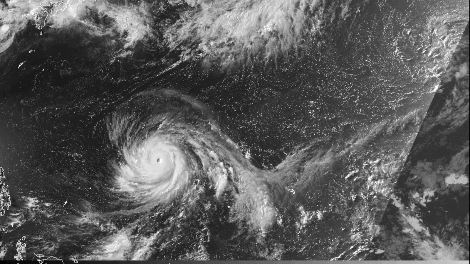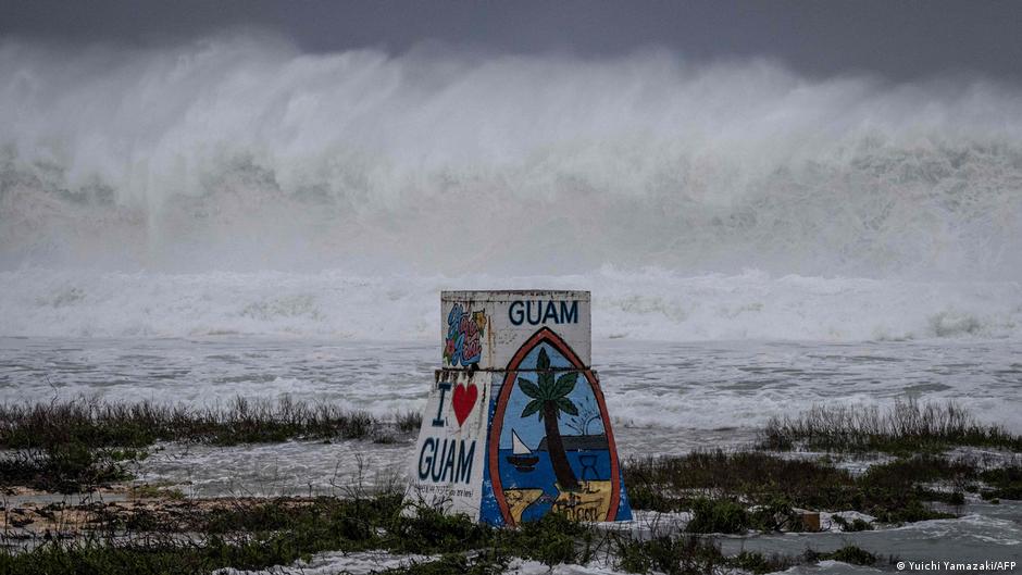
A super typhoon is set to arrive in the US Pacific Island territories of Guam and the Northern Marianas, bringing torrential rains and hurricane-force winds on Sunday night.
Bavi was forecast to move westwards over the archipelago in the western Pacific Ocean on Monday morning, packing maximum sustained winds of 280 kilometers (173 miles) per hour and gusts of 333 km/h, the Joint Typhoon Warning Center said.
Super typhoons are equivalent to a Category 4 or Category 5 storm, according to the National Weather Service (NWS).
The NWS has warned that the "very dangerous" typhoon is expected to cause "catastrophic wind damage" near the storm's eye, as well as storm surges and "hazardous" surf.
What do we know about Bavi's predicted path?