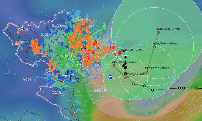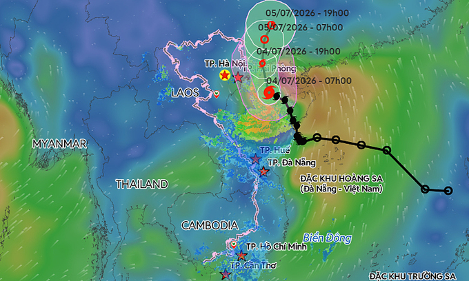
According to the National Center for Hydro-Meteorological Forecasting, Maysak lay centered approximately 55 km southeast of Bach Long Vi Island off Hai Phong City and 160 km southeast of Mong Cai in Quang Ninh Province as of 8:00 a.m. Saturday.
The storm is moving northwest at 15 kph, packing maximum sustained winds of 88 kph, with gusts reaching up to 117 kph. By 4:00 p.m. on Saturday, the center is expected to reach the waters off Quang Ninh, home to Ha Long Bay. The wind speed is anticipated to remain steady.
Following this, the storm is forecast to turn north, traveling at 10–15 kph before making landfall in southern Guangxi, China, late Saturday or early Sunday. It will likely weaken into a tropical depression and eventually dissipate.
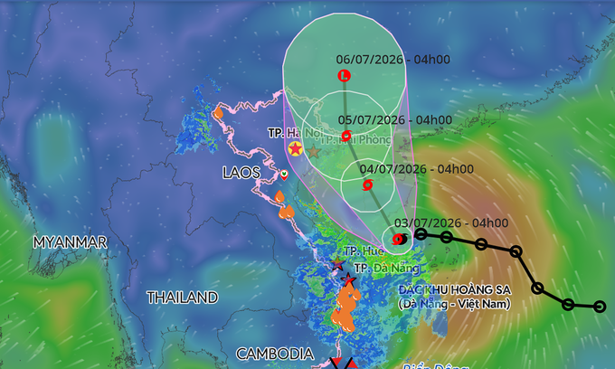
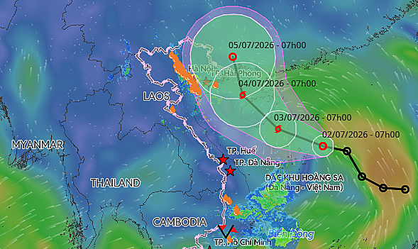
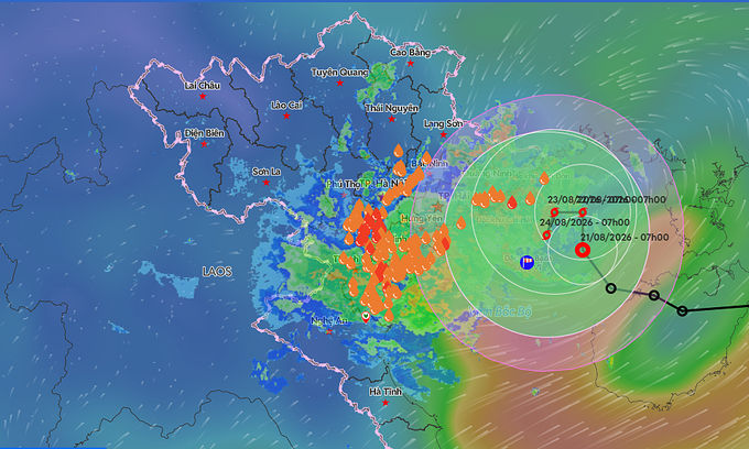
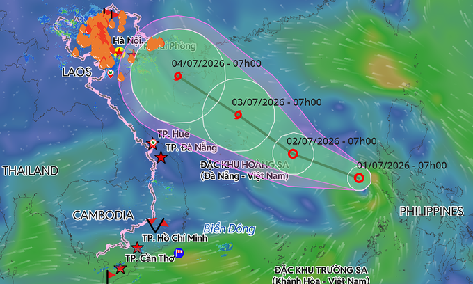
A predicted trajectory of Storm Maysak in the East Sea. Graphic by Vietnam Disaster Monitoring System
International monitors note a similar path. The Japan Meteorological Agency reports current sustained winds of 72 kph, while the Hong Kong Observatory anticipates the storm will maintain winds of about 85 kph as it brushes past Mong Cai. Both expect the storm to retain its strength until reaching the border area.