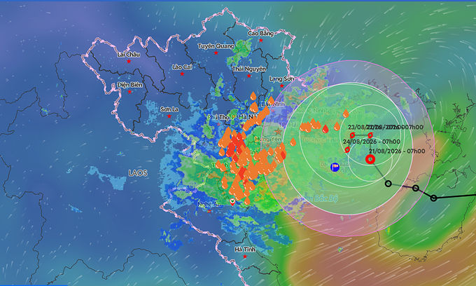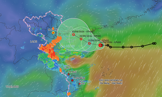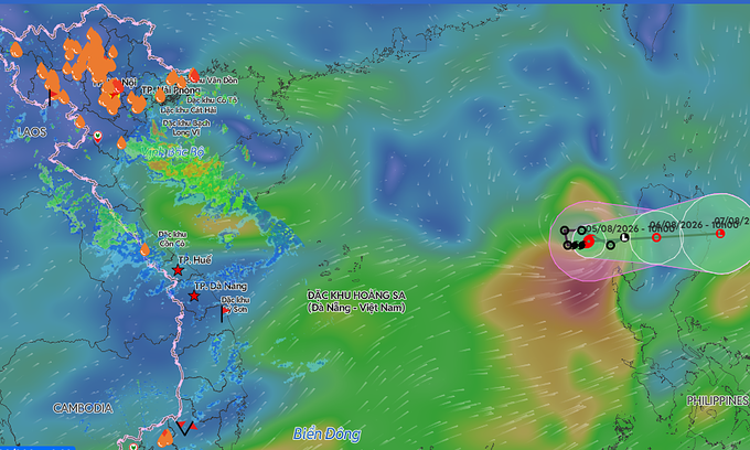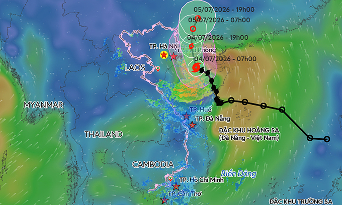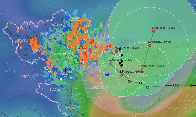
According to the National Center for Hydro-Meteorological Forecasting, the storm’s center was about 130 km northeast of Bach Long Vi Special Zone at 9 a.m. Saturday.
Maximum sustained winds reached 74 kph, with gusts of 89–102 kph. The system is currently moving north at only around 5 kph and is expected to remain nearly stationary or drift slowly westward in the coming hours.
By 4 a.m. on Aug. 23, the storm is forecast to maintain its strength over the northern Gulf of Tonkin, about 170 km east of Hai Phong and 80 km northeast of Bach Long Vi, before turning south at around 3 kph.
Its irregular movement is expected to continue through Aug. 24. By 4 a.m. that day, the storm is forecast to be around 110 km east of Bach Long Vi and 230 km east-southeast of Hai Phong, moving southeast at 3–5 kph.
By Aug. 25, the system is expected to turn east-northeast, with its center remaining over the eastern Gulf of Tonkin, around 200 km from Bach Long Vi.