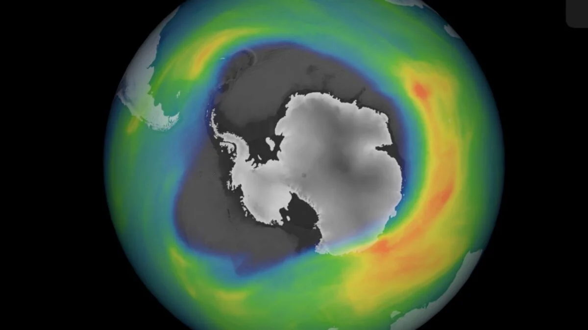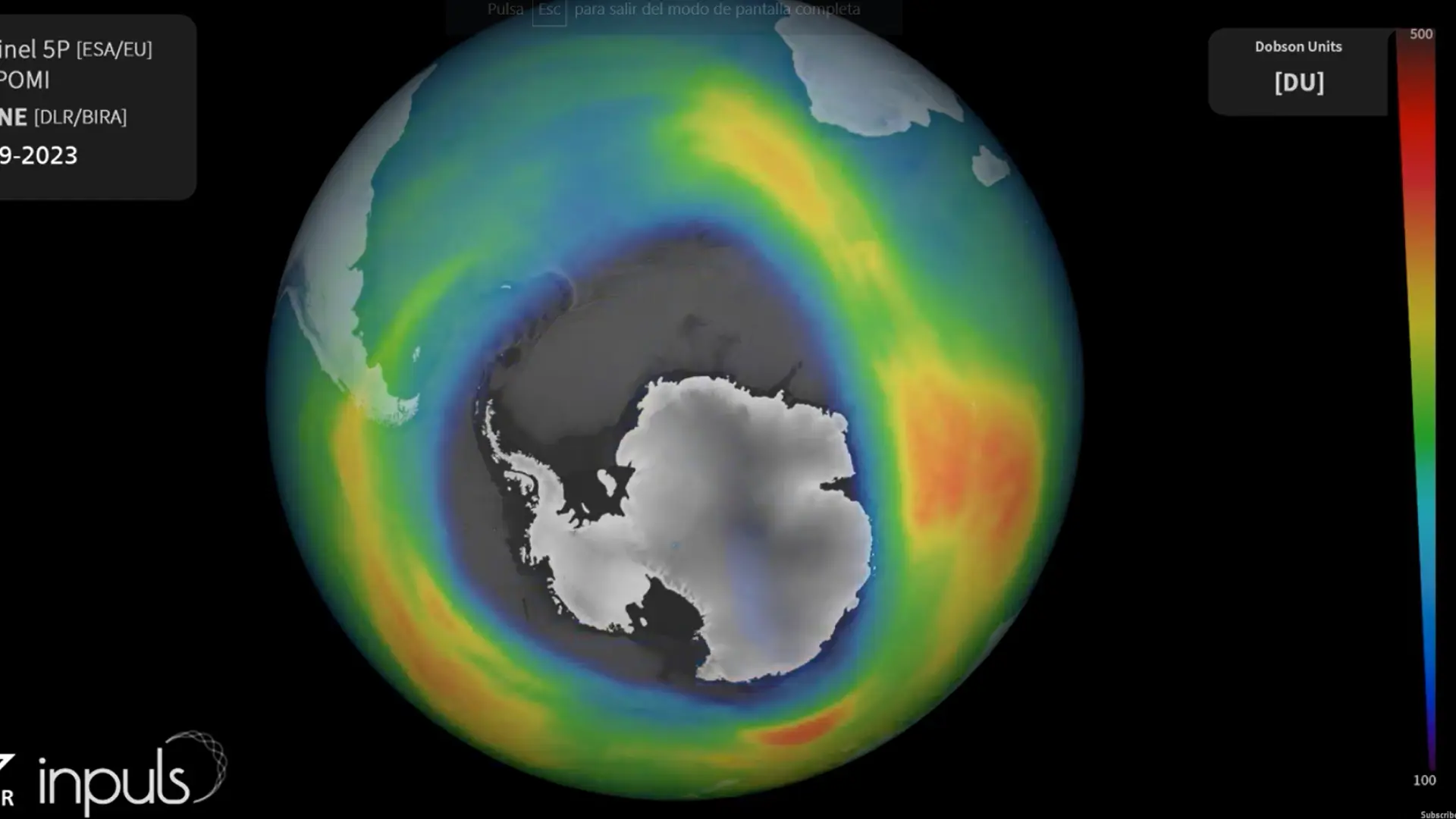
Current satellite data measures ozone separately in the lower, middle, and upper stratosphere, and model simulations help scientists work out the causes of any changes in these layers. This is the capability we’re imagining adding to the world of the 1950s.
Early detection
The researchers ran a climate model that includes ozone chemistry, feeding it the history of greenhouse gas emissions, ozone-depleting pollution, and natural events like volcanic eruptions. After setting the background with a few simulations starting in 1850, they ran many simulations from 1950 onward with slightly different starting atmospheric conditions to generate a range of realizations.
Detecting a trend of declining ozone depends both on how strong the trend is and on how strong the noise is. The lower and middle portions of the stratosphere respond much more strongly to things like volcanic eruptions—and we have the 1963 eruption of Mount Agung to contend with.
Ozone in the upper stratosphere is much less variable, and also quite sensitive to ozone-depleting pollutants. While the effects of these pollutants are strongest at middle to high latitudes, variability is lowest near the tropics. In the model, this is actually where the ozone depletion trend emerged first.