In wartime, signals from the Global Positioning System (GPS) satellite navigation system are often disrupted; this is currently the case in Eastern Europe and the Middle East. US space company Xona Space Systems has used an experimental satellite to detect the interference from space. The scale is greater than anticipated, said one of the founders.
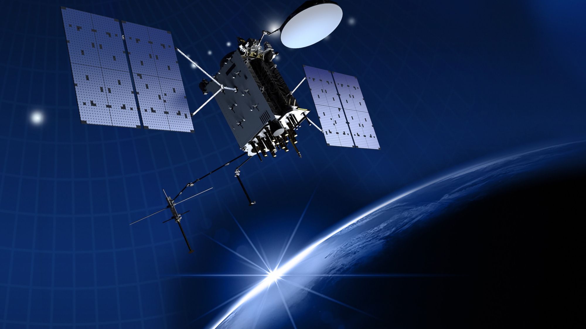
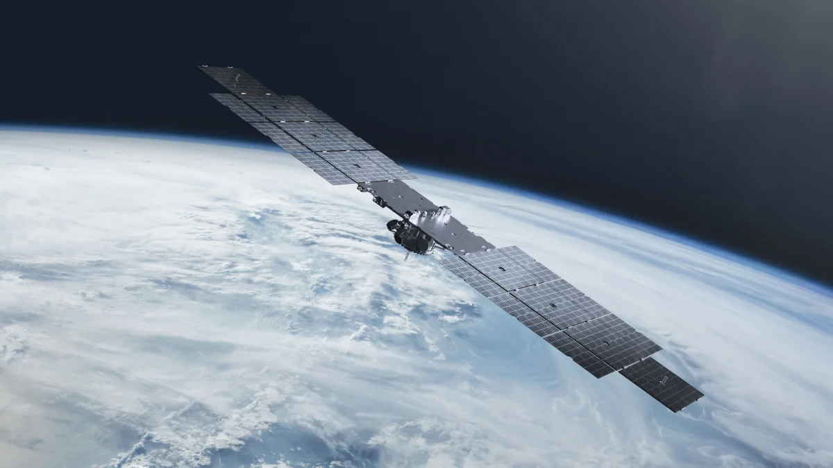
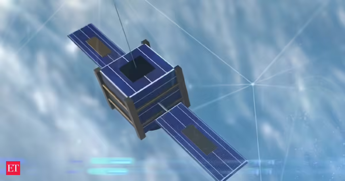
Xona Space Systems plans to build Pulsar, its constellation for satellite navigation. However, these satellites are intended to orbit the Earth at a lower altitude than those of GPS and other satellite navigation systems. Xona Space Systems has launched a first satellite, Pulsar-0, into space to test its technology. The satellite is also equipped with a GPS receiver to ensure that Pulsar and GPS can work together in the future.
Using this system, Xona Space measured the signal strength of GPS satellites. The interference that Pulsar-0 detected in the Middle East and Europe significantly exceeded the expected scale, as reported by the US online space news service Space.com.
Due to the satellite's altitude, the data did not always accurately reflect the interference as experienced by users on the ground, said Kaz Gunning, one of Xona Space Systems' founders, to Space.com. However, in frequented orbits in Low Earth Orbit (LEO), interference was detected in a range from France in the west to the borders of Pakistan in the east. In the most affected areas, Pulsar-0 sometimes measured a signal strength of only 10 decibels. The normal is 40 decibels.