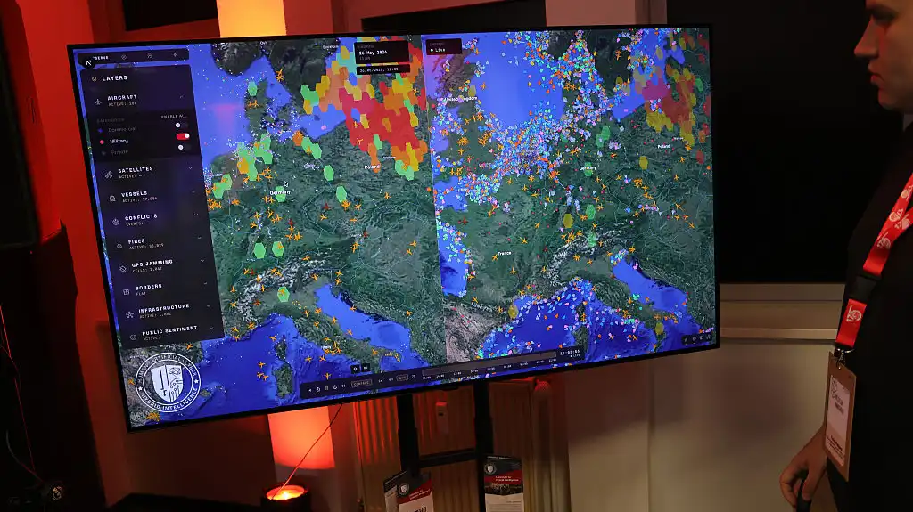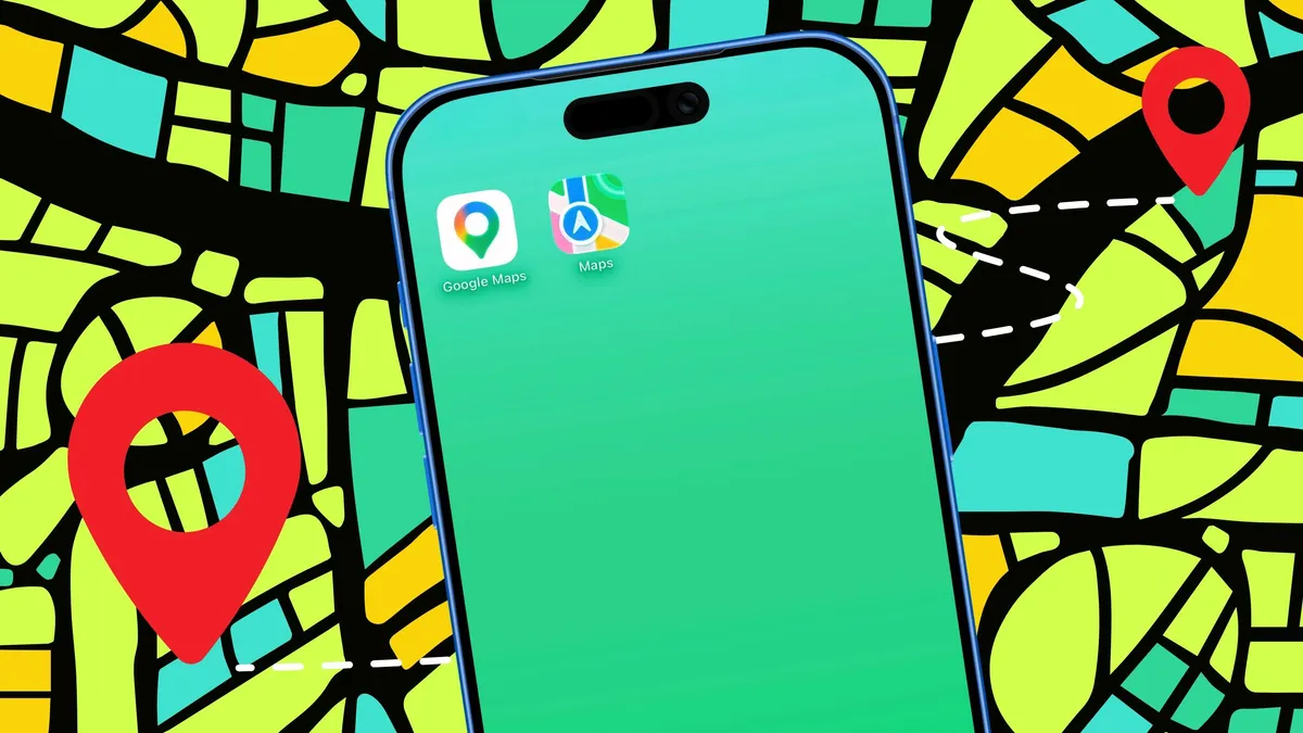
You drag a map, it loads more map. You drop a pin, it lands exactly where you tapped. This feels like one seamless thing, but underneath, every "slippy map", Google Maps, OpenStreetMap, the map in a thousand apps, is built from two pieces of math: a way to flatten a round Earth onto a flat screen, and a way to chop that flat image into loadable squares. Both fit in a few lines of Python.
Learn them and your blue dot stops being magic: you will be able to take a latitude and longitude and compute exactly which image tile it falls in and where inside that tile the pin goes.
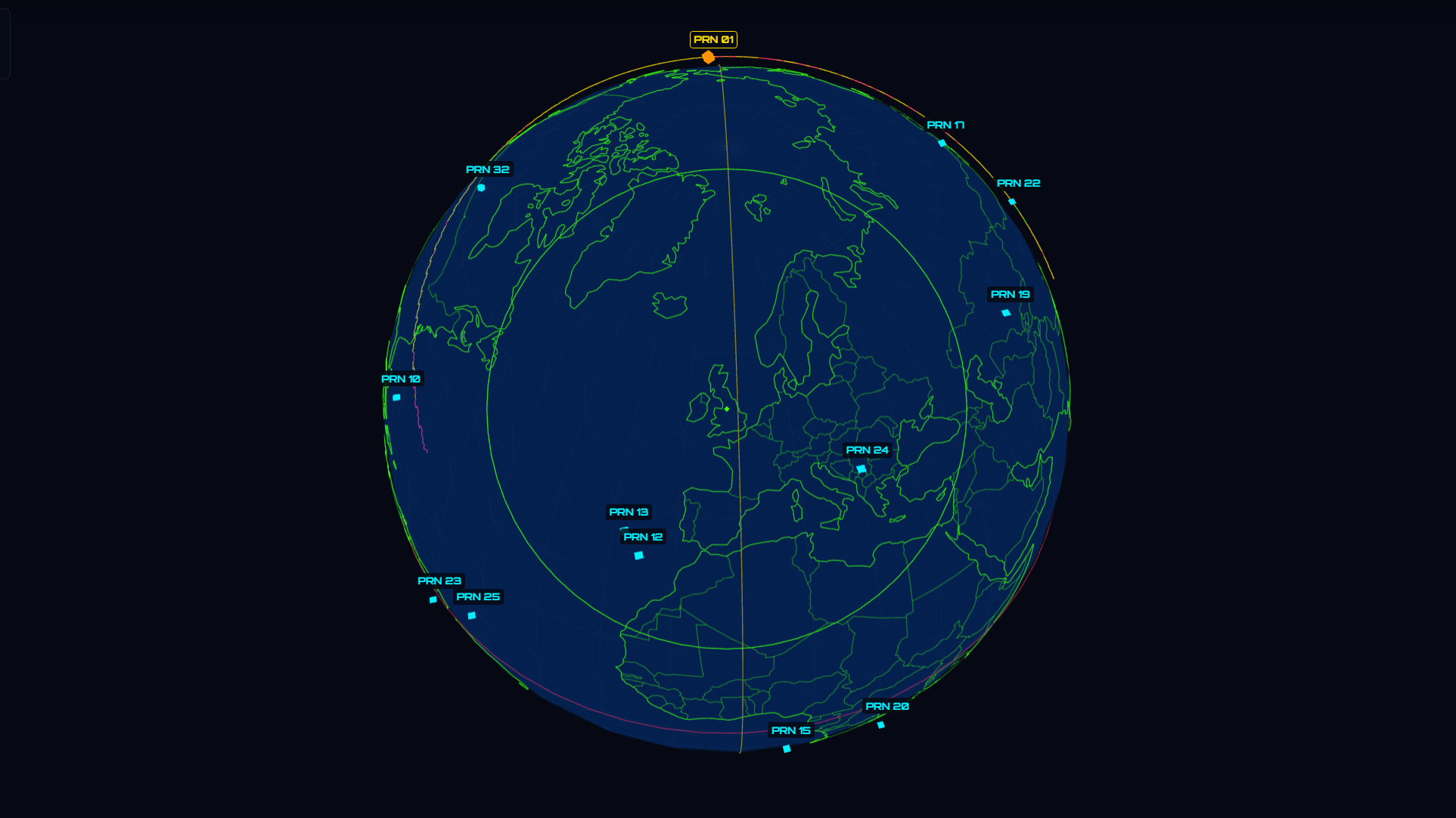
The one idea: the Earth is round and your screen is not
A screen is a flat grid of pixels. The Earth is a sphere. To draw one on the other you need a projection: a rule that turns (longitude, latitude) into (x, y). There are many, each lying about the Earth in a different way (you cannot flatten a sphere without distortion). Web maps almost all use one, Web Mercator, because it has a property that makes interactive maps possible: it is conformal, it preserves angles and local shape, so north is always up and a small square of ground stays square. The price is area: Greenland looks the size of Africa. For navigation, keeping shapes and directions right is the trade everyone makes.